Estimated Value: $583,000 - $672,992
3
Beds
3
Baths
1,788
Sq Ft
$353/Sq Ft
Est. Value
About This Home
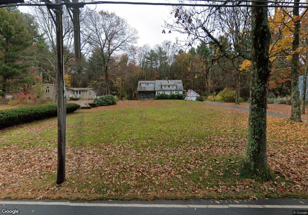
This home is located at 71 Red Acre Rd, Stow, MA 01775 and is currently estimated at $631,998, approximately $353 per square foot. 71 Red Acre Rd is a home located in Middlesex County with nearby schools including Center School, Hale Middle School, and Nashoba Regional High School.
Ownership History
Date
Name
Owned For
Owner Type
Purchase Details
Closed on
Dec 21, 2020
Sold by
Mcmanus Peter
Bought by
Mcmanus Peter and Mcmanus Nancy J
Current Estimated Value
Home Financials for this Owner
Home Financials are based on the most recent Mortgage that was taken out on this home.
Original Mortgage
$400,000
Outstanding Balance
$352,824
Interest Rate
2.7%
Mortgage Type
New Conventional
Estimated Equity
$279,174
Purchase Details
Closed on
Nov 29, 2016
Sold by
Mcmanus Peter and Mcmanus Kate W
Bought by
Mcmanus Peter
Home Financials for this Owner
Home Financials are based on the most recent Mortgage that was taken out on this home.
Original Mortgage
$331,705
Interest Rate
3.47%
Mortgage Type
FHA
Purchase Details
Closed on
Jul 23, 1992
Sold by
Maclaughlin Glenn A and Maclaughlin Linda
Bought by
Mcmanus Peter C
Create a Home Valuation Report for This Property
The Home Valuation Report is an in-depth analysis detailing your home's value as well as a comparison with similar homes in the area
Home Values in the Area
Average Home Value in this Area
Purchase History
| Date | Buyer | Sale Price | Title Company |
|---|---|---|---|
| Mcmanus Peter | -- | None Available | |
| Mcmanus Peter | -- | -- | |
| Mcmanus Peter C | $134,000 | -- | |
| Mcmanus Peter C | $134,000 | -- |
Source: Public Records
Mortgage History
| Date | Status | Borrower | Loan Amount |
|---|---|---|---|
| Open | Mcmanus Peter | $400,000 | |
| Previous Owner | Mcmanus Peter | $331,705 | |
| Previous Owner | Mcmanus Peter C | $80,000 | |
| Previous Owner | Mcmanus Peter C | $50,000 |
Source: Public Records
Tax History
| Year | Tax Paid | Tax Assessment Tax Assessment Total Assessment is a certain percentage of the fair market value that is determined by local assessors to be the total taxable value of land and additions on the property. | Land | Improvement |
|---|---|---|---|---|
| 2025 | $9,492 | $544,900 | $295,500 | $249,400 |
| 2024 | $9,473 | $558,200 | $285,000 | $273,200 |
| 2023 | $9,167 | $505,600 | $272,000 | $233,600 |
| 2022 | $8,229 | $420,700 | $226,800 | $193,900 |
| 2021 | $6,931 | $346,900 | $170,100 | $176,800 |
| 2020 | $6,775 | $328,700 | $154,300 | $174,400 |
| 2019 | $6,595 | $327,600 | $154,300 | $173,300 |
| 2018 | $6,592 | $314,200 | $154,300 | $159,900 |
| 2017 | $6,327 | $307,300 | $145,200 | $162,100 |
| 2016 | $6,038 | $302,200 | $145,200 | $157,000 |
| 2015 | $5,920 | $296,300 | $132,000 | $164,300 |
Source: Public Records
Map
Nearby Homes
- 34 Meeting House Ln Unit 208
- 153 Summer St
- 12 S Acton Rd
- 10 Mill St Unit B
- 15 Crescent St
- 247 W Acton Rd
- 414 Great Rd
- 41 Taylor Rd
- 30-6 Taylor Rd
- 280 W Acton Rd
- 40 Saw Mill Rd
- 12 Brown St
- 36 Brown St
- 63 Conant St
- 13 Arthur St Unit 15
- 22 Douglas Ave Unit 2
- 22 Douglas Ave Unit 1
- 5 Hayes St Unit 5
- 66 Powder Mill Rd
- 31-33 Roosevelt St
- 75 Red Acre Rd
- 69 Red Acre Rd
- 79 Red Acre Rd
- 68 Red Acre Rd
- 68 Red Acre Rd
- 59 Red Acre Rd
- 89 Red Acre Rd
- 53 Red Acre Rd
- 93 Red Acre Rd
- 49 Red Acre Rd
- 44 Red Acre Rd
- 39 Red Acre Rd
- 51 Samuel Prescott Dr
- 35 Red Acre Rd
- 38 Red Acre Rd
- 45 Samuel Prescott Dr
- 40 Samuel Prescott Dr
- 121 Red Acre Rd
- 32 Red Acre Rd
- 118 Red Acre Rd
Your Personal Tour Guide
Ask me questions while you tour the home.