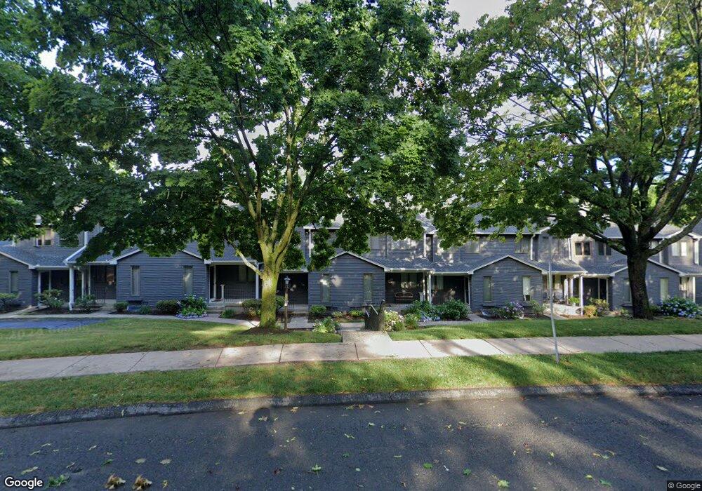
71 Ridge Rd Wethersfield, CT 06109
Estimated Value: $264,000 - $341,400
2
Beds
3
Baths
1,402
Sq Ft
$210/Sq Ft
Est. Value
About This Home
This home is located at 71 Ridge Rd, Wethersfield, CT 06109 and is currently estimated at $294,350, approximately $209 per square foot. 71 Ridge Rd is a home located in Hartford County with nearby schools including Samuel B. Webb Elementary School, Woodcrest Elementary School, and Silas Deane Middle School.
Ownership History
Date
Name
Owned For
Owner Type
Purchase Details
Closed on
May 29, 1998
Sold by
Klune Karen E
Bought by
Francis Laura
Current Estimated Value
Home Financials for this Owner
Home Financials are based on the most recent Mortgage that was taken out on this home.
Original Mortgage
$60,000
Outstanding Balance
$12,076
Interest Rate
7.12%
Mortgage Type
Unknown
Estimated Equity
$282,274
Purchase Details
Closed on
Aug 10, 1988
Sold by
G B D Dev Corp
Bought by
Carnemolla Karen E
Home Financials for this Owner
Home Financials are based on the most recent Mortgage that was taken out on this home.
Original Mortgage
$40,000
Interest Rate
10.34%
Create a Home Valuation Report for This Property
The Home Valuation Report is an in-depth analysis detailing your home's value as well as a comparison with similar homes in the area
Home Values in the Area
Average Home Value in this Area
Purchase History
| Date | Buyer | Sale Price | Title Company |
|---|---|---|---|
| Francis Laura | $87,000 | -- | |
| Carnemolla Karen E | $139,900 | -- |
Source: Public Records
Mortgage History
| Date | Status | Borrower | Loan Amount |
|---|---|---|---|
| Open | Carnemolla Karen E | $60,000 | |
| Previous Owner | Carnemolla Karen E | $40,000 |
Source: Public Records
Tax History Compared to Growth
Tax History
| Year | Tax Paid | Tax Assessment Tax Assessment Total Assessment is a certain percentage of the fair market value that is determined by local assessors to be the total taxable value of land and additions on the property. | Land | Improvement |
|---|---|---|---|---|
| 2025 | $7,762 | $188,310 | $0 | $188,310 |
| 2024 | $5,098 | $117,950 | $0 | $117,950 |
| 2023 | $4,926 | $117,900 | $0 | $117,900 |
| 2022 | $4,843 | $117,900 | $0 | $117,900 |
| 2021 | $4,795 | $117,900 | $0 | $117,900 |
| 2020 | $4,797 | $117,900 | $0 | $117,900 |
| 2019 | $4,803 | $117,900 | $0 | $117,900 |
| 2018 | $4,677 | $114,700 | $0 | $114,700 |
| 2017 | $4,562 | $114,700 | $0 | $114,700 |
| 2016 | $4,421 | $114,700 | $0 | $114,700 |
| 2015 | $4,380 | $114,700 | $0 | $114,700 |
| 2014 | $4,214 | $114,700 | $0 | $114,700 |
Source: Public Records
Map
Nearby Homes
- 49 Ridge Rd Unit 49
- 136 Amherst St
- 19 Albert Ave
- 90 Salem St
- 148 Princeton St
- 237 Mountain St
- 208 Mountain St
- 111 Harvard St
- 80 Spruce St
- 67 Oakdale St
- 126 Tredeau St
- 92 Reed Dr
- 358 Ridge Rd
- 70 Stillman Rd
- 326 South St Unit 328
- 69 Concord Cir
- 308 Brown St
- 218 Grandview Terrace Unit 220
- 11 Yale St
- 24 Stillman Rd