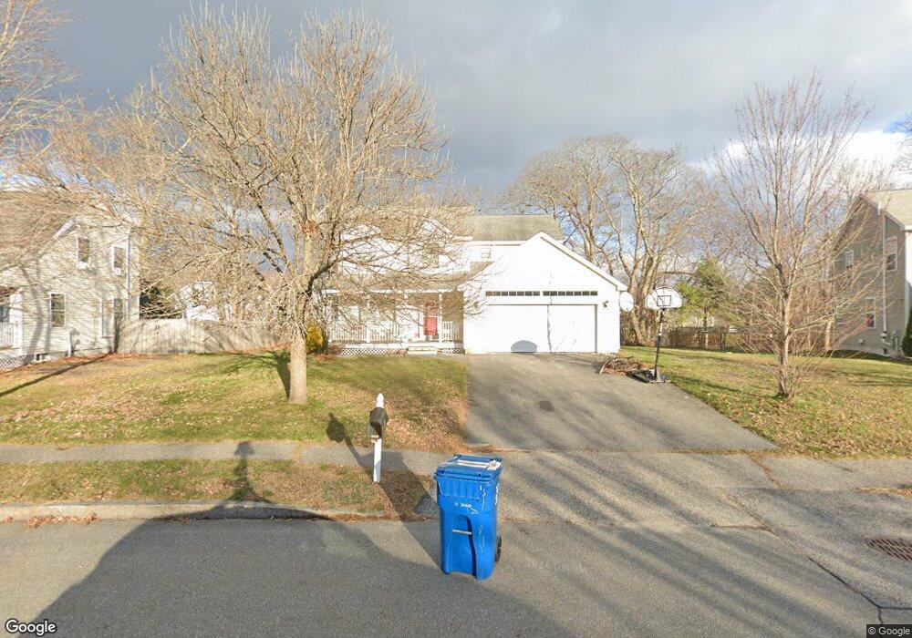
71 Ruby Ln Portland, ME 04103
North Deering NeighborhoodEstimated Value: $580,000 - $636,000
3
Beds
3
Baths
2,018
Sq Ft
$306/Sq Ft
Est. Value
About This Home
This home is located at 71 Ruby Ln, Portland, ME 04103 and is currently estimated at $616,641, approximately $305 per square foot. 71 Ruby Ln is a home located in Cumberland County with nearby schools including Gerald E. Talbot Community School, Lyman Moore Middle School, and St. Brigid School.
Ownership History
Date
Name
Owned For
Owner Type
Purchase Details
Closed on
Aug 31, 2009
Sold by
Kelly Brett R and Kelly Diane M
Bought by
Mohamed Maza A
Current Estimated Value
Home Financials for this Owner
Home Financials are based on the most recent Mortgage that was taken out on this home.
Original Mortgage
$256,500
Outstanding Balance
$167,579
Interest Rate
5.17%
Mortgage Type
Purchase Money Mortgage
Estimated Equity
$449,062
Create a Home Valuation Report for This Property
The Home Valuation Report is an in-depth analysis detailing your home's value as well as a comparison with similar homes in the area
Home Values in the Area
Average Home Value in this Area
Purchase History
| Date | Buyer | Sale Price | Title Company |
|---|---|---|---|
| Mohamed Maza A | -- | -- |
Source: Public Records
Mortgage History
| Date | Status | Borrower | Loan Amount |
|---|---|---|---|
| Open | Mohamed Maza A | $256,500 | |
| Previous Owner | Mohamed Maza A | $254,700 |
Source: Public Records
Tax History Compared to Growth
Tax History
| Year | Tax Paid | Tax Assessment Tax Assessment Total Assessment is a certain percentage of the fair market value that is determined by local assessors to be the total taxable value of land and additions on the property. | Land | Improvement |
|---|---|---|---|---|
| 2024 | $5,963 | $397,300 | $72,500 | $324,800 |
| 2023 | $5,725 | $397,300 | $72,500 | $324,800 |
| 2022 | $5,407 | $397,300 | $72,500 | $324,800 |
| 2021 | $5,161 | $397,300 | $72,500 | $324,800 |
| 2020 | $6,168 | $264,600 | $73,800 | $190,800 |
| 2019 | $6,168 | $264,600 | $73,800 | $190,800 |
| 2018 | $5,948 | $264,600 | $73,800 | $190,800 |
| 2017 | $5,729 | $264,600 | $73,800 | $190,800 |
| 2016 | $5,586 | $264,600 | $73,800 | $190,800 |
| 2015 | $5,459 | $264,600 | $73,800 | $190,800 |
| 2014 | $5,292 | $264,600 | $73,800 | $190,800 |
Source: Public Records
Map
Nearby Homes
- 1435 Forest Ave
- 74 Chesley Ave
- 30 Chesley Ave
- 90 Farragut St
- Lots 23-25 Fisher St
- 32 Harvard Common Unit A
- 1155 Washington Ave
- 1155 Washington Ave Unit 1
- 1155 Washington Ave Unit 2
- 40 Belfort St
- 49 Belfort St
- 1 Coolidge Ave
- 30 Sanborn St
- 428 Allen Ave
- 48 Randolph St
- 1 Holbrook St
- 459 Allen Ave Unit 16
- 1638 Forest Ave
- 88 Verrill St
- 12 Dakota St