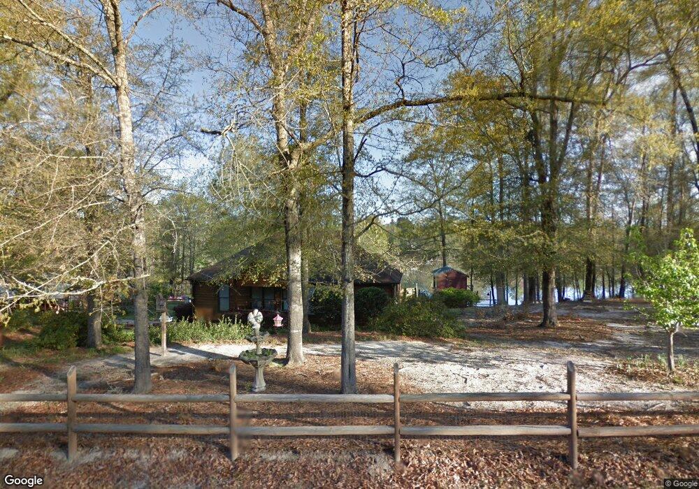
71 S Epps Rd Box Springs, GA 31801
Estimated Value: $223,000 - $323,000
3
Beds
2
Baths
1,396
Sq Ft
$194/Sq Ft
Est. Value
About This Home
This home is located at 71 S Epps Rd, Box Springs, GA 31801 and is currently estimated at $270,838, approximately $194 per square foot. 71 S Epps Rd is a home located in Talbot County with nearby schools including Central School.
Ownership History
Date
Name
Owned For
Owner Type
Purchase Details
Closed on
Aug 20, 1997
Sold by
Pbs Professional Bui
Bought by
Watson Stephen and Watson San
Current Estimated Value
Purchase Details
Closed on
Jun 25, 1997
Sold by
Watson Stephen and Watson San
Bought by
Pbs Professional Bui
Purchase Details
Closed on
Apr 10, 1997
Sold by
Tillman Billy R
Bought by
Watson Stephen and Watson San
Purchase Details
Closed on
Nov 13, 1995
Bought by
Tillman Billy R
Purchase Details
Closed on
Jan 1, 1990
Bought by
Collins
Create a Home Valuation Report for This Property
The Home Valuation Report is an in-depth analysis detailing your home's value as well as a comparison with similar homes in the area
Purchase History
| Date | Buyer | Sale Price | Title Company |
|---|---|---|---|
| Watson Stephen | $82,700 | -- | |
| Pbs Professional Bui | -- | -- | |
| Watson Stephen | -- | -- | |
| Tillman Billy R | -- | -- | |
| Collins | -- | -- |
Source: Public Records
Tax History
| Year | Tax Paid | Tax Assessment Tax Assessment Total Assessment is a certain percentage of the fair market value that is determined by local assessors to be the total taxable value of land and additions on the property. | Land | Improvement |
|---|---|---|---|---|
| 2025 | $1,991 | $63,142 | $16,920 | $46,222 |
| 2024 | $2,122 | $64,452 | $16,920 | $47,532 |
| 2023 | $1,615 | $48,591 | $8,883 | $39,708 |
| 2022 | $1,513 | $49,123 | $8,883 | $40,240 |
| 2021 | $1,515 | $48,695 | $8,460 | $40,235 |
| 2020 | $1,386 | $43,643 | $8,460 | $35,183 |
| 2019 | $1,392 | $43,826 | $8,460 | $35,366 |
| 2018 | $1,320 | $43,826 | $8,460 | $35,366 |
| 2017 | $1,389 | $43,826 | $8,460 | $35,366 |
| 2016 | $1,247 | $38,937 | $6,204 | $32,733 |
| 2015 | -- | $38,937 | $6,204 | $32,733 |
| 2013 | -- | $39,709 | $6,204 | $33,505 |
Source: Public Records
Map
Nearby Homes
- 641 Cusseta Hwy
- +/- 7.65 ACRES the Hut Rd
- 422 Baker Creek Dr
- 00 Geneva Hwy
- 1300 Dr Brooks Rd
- 63 Spring St
- 64 Spring St
- 430 Oak Grove Rd
- 111 Sunnyside Dr
- Tract 2 Dennis Creek Rd
- 1437 Ellerslie Hwy
- 14270 Cross Creek Rd
- 7019 Kendall Creek Dr
- 0 Pineknot Rd
- 8705 Mckee Rd
- 8701 Mckee Rd
- 322 Moores Chapel Rd
- 245 Dog Track Rd
- 202 S Taylor Rd
- 13965 Cross Creek Rd
Your Personal Tour Guide
Ask me questions while you tour the home.