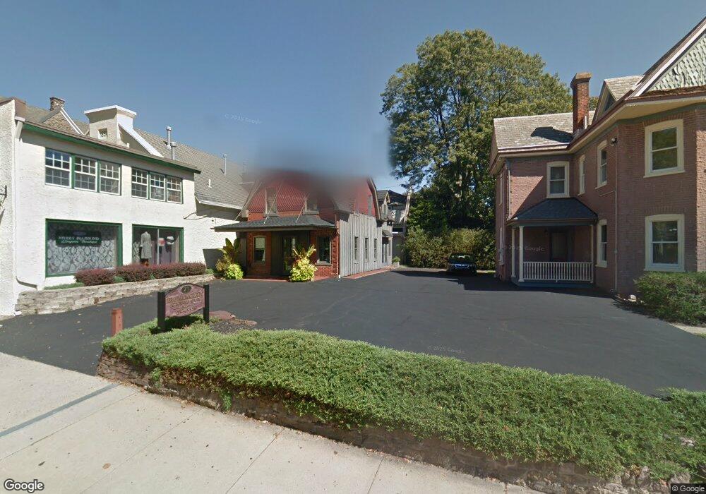
71 S Main St Doylestown, PA 18901
Estimated Value: $503,000 - $707,000
2
Beds
1
Bath
1,447
Sq Ft
$426/Sq Ft
Est. Value
About This Home
This home is located at 71 S Main St, Doylestown, PA 18901 and is currently estimated at $616,535, approximately $426 per square foot. 71 S Main St is a home located in Bucks County with nearby schools including Linden El School, Lenape Middle School, and Central Bucks High School-West.
Ownership History
Date
Name
Owned For
Owner Type
Purchase Details
Closed on
Jun 29, 1998
Sold by
Gathright Howard T
Bought by
Ibrahim Dean W and Mckillop Donna
Current Estimated Value
Home Financials for this Owner
Home Financials are based on the most recent Mortgage that was taken out on this home.
Original Mortgage
$97,425
Outstanding Balance
$20,007
Interest Rate
7.04%
Estimated Equity
$596,528
Purchase Details
Closed on
Jan 20, 1998
Sold by
Cunningham Richard R
Bought by
Gathright Howard T
Home Financials for this Owner
Home Financials are based on the most recent Mortgage that was taken out on this home.
Original Mortgage
$95,000
Interest Rate
7.11%
Purchase Details
Closed on
Dec 13, 1996
Sold by
Northeastern Investment Realty Inc
Bought by
Cunningham Richard R
Create a Home Valuation Report for This Property
The Home Valuation Report is an in-depth analysis detailing your home's value as well as a comparison with similar homes in the area
Home Values in the Area
Average Home Value in this Area
Purchase History
| Date | Buyer | Sale Price | Title Company |
|---|---|---|---|
| Ibrahim Dean W | $129,900 | -- | |
| Gathright Howard T | $135,000 | -- | |
| Cunningham Richard R | $125,000 | -- |
Source: Public Records
Mortgage History
| Date | Status | Borrower | Loan Amount |
|---|---|---|---|
| Open | Ibrahim Dean W | $97,425 | |
| Previous Owner | Gathright Howard T | $95,000 |
Source: Public Records
Tax History Compared to Growth
Tax History
| Year | Tax Paid | Tax Assessment Tax Assessment Total Assessment is a certain percentage of the fair market value that is determined by local assessors to be the total taxable value of land and additions on the property. | Land | Improvement |
|---|---|---|---|---|
| 2025 | $4,158 | $23,080 | $5,560 | $17,520 |
| 2024 | $4,158 | $23,080 | $5,560 | $17,520 |
| 2023 | $3,961 | $23,080 | $5,560 | $17,520 |
| 2022 | $3,906 | $23,080 | $5,560 | $17,520 |
| 2021 | $3,863 | $23,080 | $5,560 | $17,520 |
| 2020 | $3,821 | $23,080 | $5,560 | $17,520 |
| 2019 | $3,779 | $23,080 | $5,560 | $17,520 |
| 2018 | $3,733 | $23,080 | $5,560 | $17,520 |
| 2017 | $3,693 | $23,080 | $5,560 | $17,520 |
| 2016 | $3,693 | $23,080 | $5,560 | $17,520 |
| 2015 | -- | $23,080 | $5,560 | $17,520 |
| 2014 | -- | $23,080 | $5,560 | $17,520 |
Source: Public Records
Map
Nearby Homes
- 69 E Oakland Ave
- 110 E Ashland St
- 20 E Court St
- 1 Barnes Ct
- 37 N Clinton St
- 236 Green St
- 155 E Oakland Ave
- 146 E Court St
- 195 Lafayette St
- 146 N Church St
- 130 N Clinton St
- 89 Homestead Dr
- 403 S Main St Unit S201
- 339 E Ashland St
- 3 Steeplechase Dr
- 121 Cottage St
- 418 North St
- 9 Mill Creek Dr
- 272 Fox Chase Ln
- 505 E State St
- 81 S Main St
- 7 Taylor Ave
- 64 S Main St Unit . 1
- 64 S Main St Unit . 3
- 64 S Main St Unit 1
- 64 S Main St Unit 3
- 64 S Main St
- 21 E Ashland St Unit 2
- 21 E Ashland St Unit B
- 21 E Ashland St
- 62 S Main St
- 68 S Main St Unit . 3
- 68 S Main St Unit 2F
- 57 S Main St
- 24 Taylor Ave Unit 24B
- 33 E Ashland St
- 76 S Main St
- 76 S Main St Unit 2
- 70 S Main St Unit 2R
- 70 S Main St