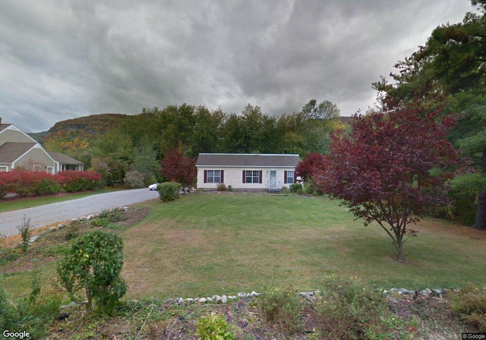
71 Sabbath Day Point Rd Silver Bay, NY 12874
Estimated Value: $653,826 - $764,000
3
Beds
2
Baths
1,300
Sq Ft
$550/Sq Ft
Est. Value
About This Home
This home is located at 71 Sabbath Day Point Rd, Silver Bay, NY 12874 and is currently estimated at $714,457, approximately $549 per square foot. 71 Sabbath Day Point Rd is a home located in Warren County with nearby schools including Ticonderoga Elementary School, Ticonderoga Middle School, and Ticonderoga Senior High School.
Ownership History
Date
Name
Owned For
Owner Type
Purchase Details
Closed on
Nov 20, 2020
Sold by
Alfano Francis J
Bought by
Alfano Francis J and Alfano Nicole
Current Estimated Value
Home Financials for this Owner
Home Financials are based on the most recent Mortgage that was taken out on this home.
Original Mortgage
$257,500
Outstanding Balance
$220,676
Interest Rate
2.8%
Mortgage Type
New Conventional
Estimated Equity
$493,781
Create a Home Valuation Report for This Property
The Home Valuation Report is an in-depth analysis detailing your home's value as well as a comparison with similar homes in the area
Home Values in the Area
Average Home Value in this Area
Purchase History
| Date | Buyer | Sale Price | Title Company |
|---|---|---|---|
| Alfano Francis J | -- | None Available |
Source: Public Records
Mortgage History
| Date | Status | Borrower | Loan Amount |
|---|---|---|---|
| Open | Alfano Francis J | $257,500 |
Source: Public Records
Tax History Compared to Growth
Tax History
| Year | Tax Paid | Tax Assessment Tax Assessment Total Assessment is a certain percentage of the fair market value that is determined by local assessors to be the total taxable value of land and additions on the property. | Land | Improvement |
|---|---|---|---|---|
| 2024 | $6,718 | $611,000 | $281,000 | $330,000 |
| 2023 | $6,557 | $611,000 | $281,000 | $330,000 |
| 2022 | $5,612 | $294,500 | $168,900 | $125,600 |
| 2021 | $5,492 | $294,500 | $168,900 | $125,600 |
| 2020 | $5,563 | $294,500 | $168,900 | $125,600 |
| 2019 | $4,643 | $274,500 | $168,900 | $105,600 |
| 2018 | $4,643 | $249,500 | $168,900 | $80,600 |
| 2017 | $4,526 | $249,500 | $168,900 | $80,600 |
| 2016 | $4,513 | $249,500 | $168,900 | $80,600 |
| 2015 | -- | $242,800 | $168,900 | $73,900 |
| 2014 | -- | $242,800 | $168,900 | $73,900 |
Source: Public Records
Map
Nearby Homes
- 7938 Lakeshore Dr
- 7955 Lake Shore Dr
- 6325 Sunset Bay Rd
- 6022 Marina Rd
- 2023 Lands End Rd
- 2023 Lands End Rd
- 2023 Lands End Rd
- 0 Goldey Rd Unit 160152
- 67 North Rd
- 212 Backus Ln
- 55 Pine Cove Rd
- 14057 State Route 22
- 0 Chipwick Dr Unit 202110109
- 2518 Indian Point Way
- 4 Cranberry Ln
- 1120 Pike Brook Rd
- 24 Hollow Haven
- 25 Dresden Hill Rd
- 16151 New York 22
- 538 Gull Bay Rd
- 71 Sabbath Day Point Rd
- 71 Sabbath Day Point Rd Part 1
- 67 Sabbath Day Point Rd
- 77 Sabbath Day Point Rd
- 77 Sabbath Day Point Rd Part 1
- 24 Frog Ln
- 61 Sabbath Day Point Rd
- 0 Sabbath Day Point Rd
- 61 Sabbath Day Point Rd Part 1
- 22 Carney Point Dr
- 76 Sabbath Day Point Rd
- 16 Frog Ln
- 31 Carney Point Dr
- 62 Sabbath Day Point Rd
- 82 Sabbath Day Point Rd
- 0 Sabbath Day Point Rd Part 1
- 0 Frog Ln
- 58 Sabbath Day Point Rd
- 12 Frog Ln
- 14 Carney Point Dr