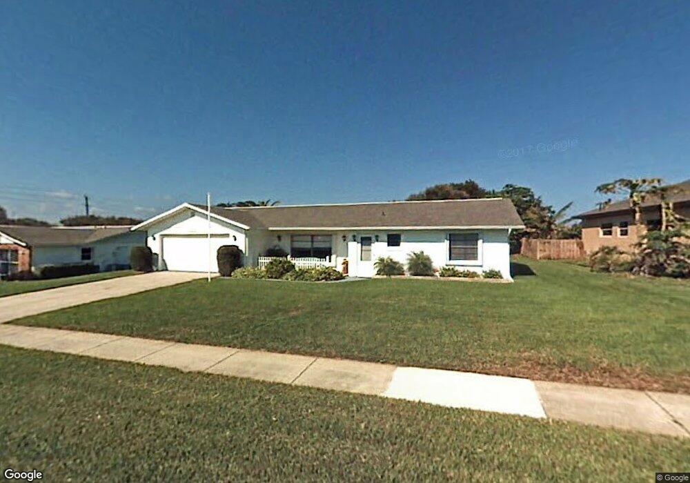
71 Seawinds Cir Ponce Inlet, FL 32127
Estimated Value: $489,000 - $632,000
2
Beds
2
Baths
1,444
Sq Ft
$370/Sq Ft
Est. Value
About This Home
This home is located at 71 Seawinds Cir, Ponce Inlet, FL 32127 and is currently estimated at $534,617, approximately $370 per square foot. 71 Seawinds Cir is a home located in Volusia County with nearby schools including R.J. Longstreet Elementary School, Silver Sands Middle School, and Spruce Creek High School.
Ownership History
Date
Name
Owned For
Owner Type
Purchase Details
Closed on
Aug 25, 2008
Sold by
Evans James D and Evans Jane
Bought by
Harvey Michael J and Harvey Sheila
Current Estimated Value
Purchase Details
Closed on
May 23, 2000
Sold by
Evans Jane and Kuhar Helen
Bought by
Evans James D and Evans Jane
Purchase Details
Closed on
Mar 15, 1980
Bought by
Harvey Michael J and Harvey Sheila
Purchase Details
Closed on
Feb 15, 1980
Bought by
Harvey Michael J and Harvey Sheila
Create a Home Valuation Report for This Property
The Home Valuation Report is an in-depth analysis detailing your home's value as well as a comparison with similar homes in the area
Home Values in the Area
Average Home Value in this Area
Purchase History
| Date | Buyer | Sale Price | Title Company |
|---|---|---|---|
| Harvey Michael J | $232,500 | First American Title Ins Co | |
| Evans James D | $72,000 | -- | |
| Harvey Michael J | $61,500 | -- | |
| Harvey Michael J | $15,000 | -- |
Source: Public Records
Tax History Compared to Growth
Tax History
| Year | Tax Paid | Tax Assessment Tax Assessment Total Assessment is a certain percentage of the fair market value that is determined by local assessors to be the total taxable value of land and additions on the property. | Land | Improvement |
|---|---|---|---|---|
| 2025 | $6,446 | $457,634 | $278,151 | $179,483 |
| 2024 | $6,446 | $433,423 | $245,480 | $187,943 |
| 2023 | $6,446 | $382,889 | $196,745 | $186,144 |
| 2022 | $5,712 | $362,270 | $171,475 | $190,795 |
| 2021 | $5,335 | $274,076 | $131,100 | $142,976 |
| 2020 | $4,920 | $252,670 | $117,116 | $135,554 |
| 2019 | $4,862 | $250,189 | $117,116 | $133,073 |
| 2018 | $4,739 | $239,946 | $102,695 | $137,251 |
| 2017 | $4,689 | $239,738 | $102,695 | $137,043 |
| 2016 | $4,376 | $207,919 | $0 | $0 |
| 2015 | $4,176 | $191,300 | $0 | $0 |
| 2014 | $4,029 | $191,843 | $0 | $0 |
Source: Public Records
Map
Nearby Homes
- 51 Sundunes Cir
- 4505 S Atlantic Ave Unit 305
- 4505 S Atlantic Ave Unit 6020
- 4505 S Atlantic Ave Unit 605
- 4505 S Atlantic Ave Unit 605
- 4495 S Atlantic Ave Unit 4040
- 14 Marsh Ct
- 53 Daggett Cove Dr
- 4525 S Atlantic Ave Unit 1502
- 4453 S Atlantic Ave Unit 604
- 4453 S Atlantic Ave Unit 401
- 4453 S Atlantic Ave Unit 706
- 4453 S Atlantic Ave Unit 208
- 4453 S Atlantic Ave Unit 1080
- 4453 S Atlantic Ave Unit 602
- 4555 S Atlantic Ave Unit 4411
- 4555 S Atlantic Ave Unit 4603
- 4555 S Atlantic Ave Unit 4609
- 4555 S Atlantic Ave Unit 4405
- 4555 S Atlantic Ave Unit 4202
- 55 Seawinds Cir
- 69 Seawinds Cir
- 73 Seawinds Cir
- 53 Seawinds Cir
- 61 Seawinds Cir
- 70 Seawinds Cir
- 68 Seawinds Cir
- 72 Seawinds Cir
- 54 Seawinds Cir
- 66 Seawinds Cir
- 64 Seawinds Cir
- 1 Marsh Ct
- 52 Seawinds Cir
- 96 Maura Terrace
- 94 Maura Terrace
- 98 Maura Terrace
- 5 Marsh Ct
- 60 Seawinds Cir
- 92 Maura Terrace
- 58 Seawinds Cir