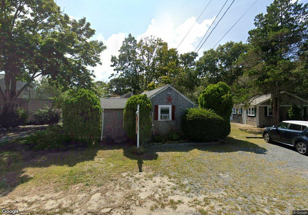
71 Shad Hole Rd Unit 1 Dennis Port, MA 02639
Dennis Port NeighborhoodEstimated Value: $169,000 - $241,445
1
Bed
1
Bath
338
Sq Ft
$622/Sq Ft
Est. Value
About This Home
This home is located at 71 Shad Hole Rd Unit 1, Dennis Port, MA 02639 and is currently estimated at $210,361, approximately $622 per square foot. 71 Shad Hole Rd Unit 1 is a home located in Barnstable County with nearby schools including Dennis-Yarmouth Regional High School and St. Pius X. School.
Ownership History
Date
Name
Owned For
Owner Type
Purchase Details
Closed on
Jun 13, 2005
Sold by
Offshore Rt
Bought by
Helman Daniel S
Current Estimated Value
Home Financials for this Owner
Home Financials are based on the most recent Mortgage that was taken out on this home.
Original Mortgage
$105,000
Outstanding Balance
$57,712
Interest Rate
6.59%
Mortgage Type
Adjustable Rate Mortgage/ARM
Estimated Equity
$152,649
Purchase Details
Closed on
Dec 10, 2002
Sold by
Clark-Rowe Carol
Bought by
Colantonio Scott
Home Financials for this Owner
Home Financials are based on the most recent Mortgage that was taken out on this home.
Original Mortgage
$61,200
Interest Rate
6.34%
Mortgage Type
Purchase Money Mortgage
Create a Home Valuation Report for This Property
The Home Valuation Report is an in-depth analysis detailing your home's value as well as a comparison with similar homes in the area
Home Values in the Area
Average Home Value in this Area
Purchase History
| Date | Buyer | Sale Price | Title Company |
|---|---|---|---|
| Helman Daniel S | $105,000 | -- | |
| Helman Daniel S | $105,000 | -- | |
| Colantonio Scott | $68,000 | -- | |
| Colantonio Scott | $68,000 | -- |
Source: Public Records
Mortgage History
| Date | Status | Borrower | Loan Amount |
|---|---|---|---|
| Open | Colantonio Scott | $105,000 | |
| Closed | Colantonio Scott | $105,000 | |
| Previous Owner | Colantonio Scott | $61,200 |
Source: Public Records
Tax History Compared to Growth
Tax History
| Year | Tax Paid | Tax Assessment Tax Assessment Total Assessment is a certain percentage of the fair market value that is determined by local assessors to be the total taxable value of land and additions on the property. | Land | Improvement |
|---|---|---|---|---|
| 2025 | $879 | $203,000 | $0 | $203,000 |
| 2024 | $756 | $172,200 | $0 | $172,200 |
| 2023 | $659 | $141,200 | $0 | $141,200 |
| 2022 | $428 | $76,400 | $0 | $76,400 |
| 2021 | $347 | $57,500 | $0 | $57,500 |
| 2020 | $358 | $58,700 | $0 | $58,700 |
| 2019 | $284 | $46,100 | $0 | $46,100 |
| 2018 | $275 | $43,400 | $0 | $43,400 |
| 2017 | $267 | $43,400 | $0 | $43,400 |
| 2016 | $268 | $41,000 | $0 | $41,000 |
| 2015 | $262 | $41,000 | $0 | $41,000 |
| 2014 | $273 | $43,000 | $0 | $43,000 |
Source: Public Records
Map
Nearby Homes
- 19 Standish Way
- 12 The Other Rd
- 22 Wixon Rd
- 4 Coffey Ln
- 125 Main St Unit 3
- 72 Bassett Ln
- 31 Easy St
- 71 Main St
- 268 Main St
- 80 Michaels Ave
- 12 Spoonbill Rd
- 62 Teal Cir
- 5 Polly Fisk Ln Unit 5
- 22 Ferncliff Rd
- 19 Ocean Dr Unit 2
- 15 Woodside Park Rd
- 12 Candlewood Ln Unit 2-9
- 78 Upper County Rd Unit A&B
- 78 Upper County Rd
- 37 Beach Hills Rd
- 71 Shad Hole Rd Unit 5
- 71 Shad Hole Rd Unit 4
- 71 Shad Hole Rd Unit 3
- 71 Shad Hole Rd Unit 2
- 71 Shad Hole Rd
- 73 Shad Hole Rd Unit 1
- 73U Shad Hole Rd Unit 2
- 73 Shad Hole Rd Unit 4
- 73 Shad Hole Rd
- 73 Shad Hole Rd Unit 2
- 73 Shad Hole Rd Unit 5
- 73 Shad Hole Rd Unit 3
- 4 Cynthia Ln
- 10 Cynthia Ln
- 79 Shad Hole Rd
- 11 Cynthia Ln
- 5 Siasconset Ave
- 80 Shad Hole Rd
- 14 Cynthia Ln
- 6 Naushon Rd