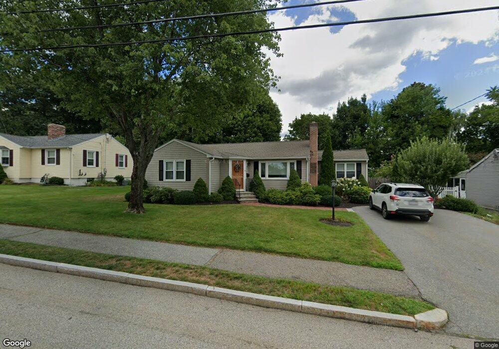
71 Sheffield Rd Waltham, MA 02451
North Waltham NeighborhoodEstimated Value: $772,326 - $919,000
3
Beds
1
Bath
1,208
Sq Ft
$675/Sq Ft
Est. Value
About This Home
This home is located at 71 Sheffield Rd, Waltham, MA 02451 and is currently estimated at $814,832, approximately $674 per square foot. 71 Sheffield Rd is a home located in Middlesex County with nearby schools including Douglas Macarthur Elementary School, John F Kennedy Middle School, and Waltham Sr High School.
Ownership History
Date
Name
Owned For
Owner Type
Purchase Details
Closed on
Oct 14, 2011
Sold by
Bergin Jane V Est
Bought by
Santolucito Salvatore
Current Estimated Value
Purchase Details
Closed on
Jun 21, 1995
Sold by
Howe Arthur W
Bought by
Bergin Paul F
Create a Home Valuation Report for This Property
The Home Valuation Report is an in-depth analysis detailing your home's value as well as a comparison with similar homes in the area
Home Values in the Area
Average Home Value in this Area
Purchase History
| Date | Buyer | Sale Price | Title Company |
|---|---|---|---|
| Santolucito Salvatore | $302,000 | -- | |
| Bergin Paul F | $184,000 | -- |
Source: Public Records
Mortgage History
| Date | Status | Borrower | Loan Amount |
|---|---|---|---|
| Previous Owner | Bergin Paul F | $55,000 | |
| Previous Owner | Bergin Paul F | $50,000 | |
| Previous Owner | Bergin Paul F | $20,000 | |
| Previous Owner | Bergin Paul F | $35,000 |
Source: Public Records
Tax History Compared to Growth
Tax History
| Year | Tax Paid | Tax Assessment Tax Assessment Total Assessment is a certain percentage of the fair market value that is determined by local assessors to be the total taxable value of land and additions on the property. | Land | Improvement |
|---|---|---|---|---|
| 2025 | $6,866 | $699,200 | $453,700 | $245,500 |
| 2024 | $6,513 | $675,600 | $433,600 | $242,000 |
| 2023 | $6,439 | $623,900 | $393,500 | $230,400 |
| 2022 | $6,402 | $574,700 | $353,300 | $221,400 |
| 2021 | $6,357 | $561,600 | $353,300 | $208,300 |
| 2020 | $6,224 | $520,800 | $329,200 | $191,600 |
| 2019 | $6,217 | $491,100 | $325,200 | $165,900 |
| 2018 | $5,645 | $447,700 | $301,100 | $146,600 |
| 2017 | $5,270 | $419,600 | $273,000 | $146,600 |
| 2016 | $4,940 | $403,600 | $257,000 | $146,600 |
| 2015 | $4,729 | $360,200 | $224,800 | $135,400 |
Source: Public Records
Map
Nearby Homes
- 14 Benjamin Rd
- 1105 Lexington St Unit 102
- 30 Jacqueline Rd Unit C
- 5 April Ln Unit 12
- 30 Wampum Ave
- 311 Concord Ave
- 15 Kings Way Unit 25
- 98 Seminole Ave
- 249 Lake St
- 234 Lake St
- 133 Lake St
- 129 Lake St
- 463 Lincoln St
- 14 Piedmont Ave
- 87 Clocktower Dr Unit 2207
- 107 Clocktower Dr Unit 3302
- 65 Montclair Ave
- 170 Clocktower Dr Unit 5103
- 28 Hillcrest St
- 92 Milner St
- 65 Sheffield Rd
- 75 Sheffield Rd
- 72 Miriam Rd
- 70 Sheffield Rd
- 57 Sheffield Rd
- 80 Sheffield Rd
- 80 Sheffield Rd Unit 80
- 81 Sheffield Rd
- 60 Miriam Rd
- 60 Sheffield Rd
- 76 Miriam Rd
- 85 Sheffield Rd
- 51 Sheffield Rd
- 54 Miriam Rd
- 31 Essex St
- 54 Sheffield Rd
- 23 Essex St
- 100 Sheffield Rd
- 65 Miriam Rd
- 91 Sheffield Rd