71 Shorecrest Ct Port Townsend, WA 98368
Kala Point NeighborhoodEstimated Value: $692,657 - $771,000
2
Beds
2
Baths
2,035
Sq Ft
$355/Sq Ft
Est. Value
About This Home
This home is located at 71 Shorecrest Ct, Port Townsend, WA 98368 and is currently estimated at $723,164, approximately $355 per square foot. 71 Shorecrest Ct is a home located in Jefferson County with nearby schools including Salish Coast Elementary School, Blue Heron Middle School, and Port Townsend High School.
Create a Home Valuation Report for This Property
The Home Valuation Report is an in-depth analysis detailing your home's value as well as a comparison with similar homes in the area
Home Values in the Area
Average Home Value in this Area
Tax History Compared to Growth
Tax History
| Year | Tax Paid | Tax Assessment Tax Assessment Total Assessment is a certain percentage of the fair market value that is determined by local assessors to be the total taxable value of land and additions on the property. | Land | Improvement |
|---|---|---|---|---|
| 2024 | $4,980 | $608,264 | $113,850 | $494,414 |
| 2023 | $4,980 | $566,798 | $103,425 | $463,373 |
| 2022 | $3,986 | $535,810 | $93,500 | $442,310 |
| 2021 | $4,075 | $412,588 | $90,908 | $321,680 |
| 2020 | $3,709 | $396,263 | $86,955 | $309,308 |
| 2019 | $3,238 | $351,241 | $79,050 | $272,191 |
| 2018 | $3,570 | $326,496 | $79,050 | $247,446 |
| 2017 | $3,008 | $317,354 | $66,645 | $250,709 |
| 2016 | $2,621 | $283,558 | $59,240 | $224,318 |
| 2015 | $2,637 | $261,064 | $59,240 | $201,824 |
| 2014 | -- | $262,027 | $77,753 | $184,274 |
| 2013 | -- | $249,550 | $74,050 | $175,500 |
Source: Public Records
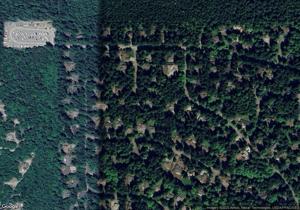
Map
Nearby Homes
- 23 Fairbreeze Dr
- 225 Belvedere Dr
- 1673 Woodland Dr
- 20 Seaview Ct Unit 1
- 0 Woodland Dr
- 1133 Parkridge Dr
- 28 Buckhorn Place
- 593 Prospect Ave
- 0 Prospect Ave Unit NWM2410763
- 0 Prospect Ave
- 110 Windship Dr
- 190 Bluffs Dr Unit 1
- 32 S Duquesne Ave
- 0 S Duquesne Ave
- 174 E Island View Ave
- 999 Kala Lagoon Ct
- 0 N Andrew Ave
- 9999 S Discovery Rd
- 6192 State Route 20
- 176 Lot 2 Louisa St
- 61 Shorecrest Ct
- 83 Shorecrest Ct
- 202 Oak Shore Dr
- 210 Oak Shore Dr
- 305 Fairbreeze Dr
- 192 Oak Shore Dr
- 220 Oak Shore Dr
- 70 Shorecrest Ct
- 60 Shorecrest Ct
- 301 Fairbreeze Dr
- 41 Shorecrest Ct
- 353 Fairbreeze Dr
- 360 Shorecrest Place
- 11 Shorecrest Place
- 40 Shorecrest Ct
- 290 Oak Shore Dr
- 182 Oak Shore Dr
- 21 Shorecrest Ct