71 Smokey Ridge Trail Arden, NC 28704
Walnut Cove NeighborhoodEstimated Value: $3,370,000 - $3,727,820
4
Beds
6
Baths
3,386
Sq Ft
$1,059/Sq Ft
Est. Value
About This Home
This home is located at 71 Smokey Ridge Trail, Arden, NC 28704 and is currently estimated at $3,585,607, approximately $1,058 per square foot. 71 Smokey Ridge Trail is a home with nearby schools including Avery's Creek Elementary School, T.C. Roberson High School, and Koontz Intermediate School.
Ownership History
Date
Name
Owned For
Owner Type
Purchase Details
Closed on
Feb 5, 2021
Sold by
Deasy Anna E and Deasy John V
Bought by
John And Anna Deasy Living Trust and Deasy
Current Estimated Value
Purchase Details
Closed on
Sep 2, 2010
Sold by
Wrobel Peter and Wrobel Lori
Bought by
Deasy John V and Deasy Anna A
Purchase Details
Closed on
Jul 21, 2006
Sold by
The Cliffs At Walnut Cove Llc
Bought by
Wrobel Peter and Wrobel Lori
Create a Home Valuation Report for This Property
The Home Valuation Report is an in-depth analysis detailing your home's value as well as a comparison with similar homes in the area
Home Values in the Area
Average Home Value in this Area
Purchase History
| Date | Buyer | Sale Price | Title Company |
|---|---|---|---|
| John And Anna Deasy Living Trust | -- | None Listed On Document | |
| John And Anna Deasy Living Trust | -- | None Listed On Document | |
| Deasy John V | $282,500 | None Available | |
| Wrobel Peter | $1,225,000 | None Available |
Source: Public Records
Tax History Compared to Growth
Tax History
| Year | Tax Paid | Tax Assessment Tax Assessment Total Assessment is a certain percentage of the fair market value that is determined by local assessors to be the total taxable value of land and additions on the property. | Land | Improvement |
|---|---|---|---|---|
| 2025 | $11,660 | $1,894,100 | $486,900 | $1,407,200 |
| 2024 | $11,660 | $1,894,100 | $486,900 | $1,407,200 |
| 2023 | $11,660 | $1,946,500 | $486,900 | $1,459,600 |
| 2022 | $11,406 | $1,946,500 | $0 | $0 |
| 2021 | $11,406 | $1,946,500 | $0 | $0 |
| 2020 | $12,529 | $1,988,700 | $0 | $0 |
| 2019 | $12,529 | $1,988,700 | $0 | $0 |
| 2018 | $12,529 | $1,988,700 | $0 | $0 |
| 2017 | $12,529 | $1,161,400 | $0 | $0 |
| 2016 | $8,072 | $1,161,400 | $0 | $0 |
| 2015 | $8,072 | $1,161,400 | $0 | $0 |
| 2014 | $8,072 | $1,161,400 | $0 | $0 |
Source: Public Records
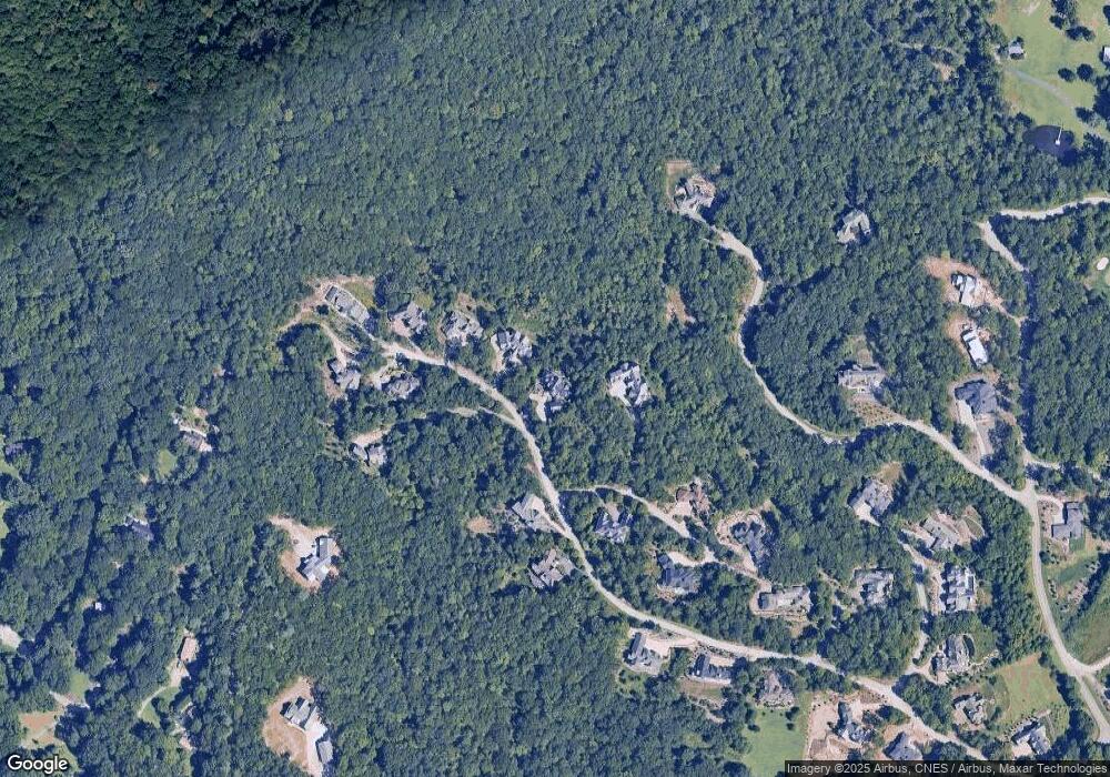
Map
Nearby Homes
- 85 Smokey Ridge Trail
- 72 Smokey Ridge Trail Unit 196
- 1304 Fawn Meadow Way
- 374 Walnut Valley Pkwy
- 1905 White Tree Trail
- 1814 Bella Vista Ct Unit 118
- 1822 Bella Vista Ct Unit 119
- 2002 Song Breeze Trail
- 1565 Country View Way
- 516 Averys Creek Rd
- 550 Walnut Valley Pkwy Unit LOT 153
- 565 Walnut Valley Pkwy Unit 158
- 6 Walnut Valley Pkwy
- 552 Averys Creek Rd
- 12 Windelsham Way
- 4 Windelsham Way
- 577 Walnut Valley Pkwy
- 22 Foxbridge Way
- 34 Foxbridge Way
- 652 Avery Creek Rd
- 75 Smokey Ridge Trail
- 10 Rock Vista Way
- 81 Smokey Ridge Trail
- 1442 Flint Rock Trail Unit 99
- 68 Smokey Ridge Trail Unit 197
- 85 Smokey Ridge Trail Unit 193
- 5 Rock Vista Way
- 84 Smokey Ridge Trail
- 60 Smokey Ridge Trail Unit 198
- 18 Rock Vista Way
- 1455 Flint Rock Trail Unit 101
- 9999 Flint Rock Trail Lot 97 Unit 97
- 56 Smokey Ridge Trail
- 74 Smokey Ridge Trail Unit 236
- 49 Smokey Ridge Trail Unit 179
- 21 Rock Vista Way
- 91 Smokey Ridge Trail Unit 194
- 1445 Flint Rock Trail Unit 103
- 1445 Flint Rock Trail Unit 1/103
- 22 Rock Vista Way