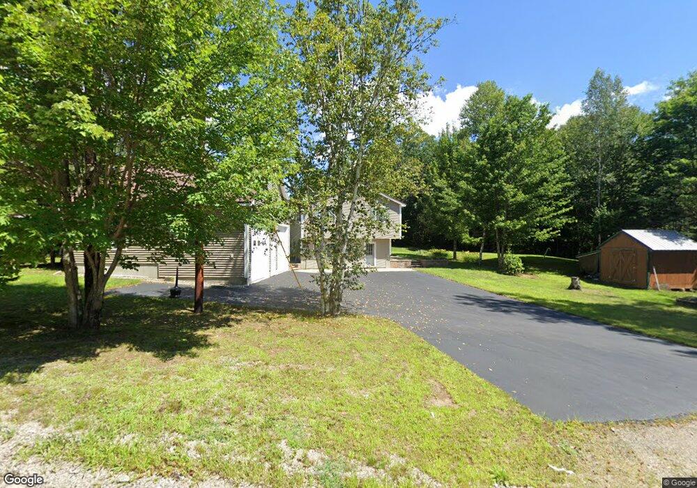
71 Stone Dr Groveton, NH 03582
Estimated Value: $424,000 - $532,620
3
Beds
2
Baths
1,804
Sq Ft
$257/Sq Ft
Est. Value
About This Home
This home is located at 71 Stone Dr, Groveton, NH 03582 and is currently estimated at $463,155, approximately $256 per square foot. 71 Stone Dr is a home.
Ownership History
Date
Name
Owned For
Owner Type
Purchase Details
Closed on
Oct 25, 2007
Sold by
Connolly David A and Connolly Tammy J
Bought by
Desfosses Charles H and Desfosses Kerry S
Current Estimated Value
Home Financials for this Owner
Home Financials are based on the most recent Mortgage that was taken out on this home.
Original Mortgage
$157,500
Outstanding Balance
$99,703
Interest Rate
6.39%
Mortgage Type
Purchase Money Mortgage
Estimated Equity
$363,452
Create a Home Valuation Report for This Property
The Home Valuation Report is an in-depth analysis detailing your home's value as well as a comparison with similar homes in the area
Purchase History
| Date | Buyer | Sale Price | Title Company |
|---|---|---|---|
| Desfosses Charles H | $175,000 | -- |
Source: Public Records
Mortgage History
| Date | Status | Borrower | Loan Amount |
|---|---|---|---|
| Open | Desfosses Charles H | $157,500 | |
| Previous Owner | Desfosses Charles H | $144,000 | |
| Previous Owner | Desfosses Charles H | $18,000 |
Source: Public Records
Tax History
| Year | Tax Paid | Tax Assessment Tax Assessment Total Assessment is a certain percentage of the fair market value that is determined by local assessors to be the total taxable value of land and additions on the property. | Land | Improvement |
|---|---|---|---|---|
| 2024 | $4,820 | $443,800 | $134,000 | $309,800 |
| 2023 | $3,684 | $177,800 | $47,300 | $130,500 |
| 2022 | $2,909 | $177,800 | $47,300 | $130,500 |
| 2021 | $3,542 | $177,800 | $47,300 | $130,500 |
| 2020 | $3,200 | $177,800 | $47,300 | $130,500 |
| 2019 | $3,213 | $177,800 | $47,300 | $130,500 |
| 2018 | $2,960 | $164,800 | $38,100 | $126,700 |
| 2017 | $2,870 | $157,800 | $38,100 | $119,700 |
| 2016 | $2,749 | $157,800 | $38,100 | $119,700 |
| 2015 | $2,684 | $157,800 | $38,100 | $119,700 |
| 2014 | $2,758 | $157,800 | $38,100 | $119,700 |
| 2013 | $3,220 | $184,200 | $49,000 | $135,200 |
Source: Public Records
Map
Nearby Homes
- 13 Hillside Ave
- 41 Crow Hill St
- 84 Hillside Ave
- 15 Rich St
- 14 Odell Park
- 238 Northside Rd
- 0 Town Line Rd Unit 1 and 33 4953131
- Lot 10 US Rte 3
- 114 US Route 3
- 147 U S 3
- 388 Percy Rd
- 338 Percy Rd
- 441 Bog Rd
- 75 Walther Way
- Lot 15 Holbrook Hill Rd
- 164 Holbrook Hill Rd
- 00 Bog Rd Unit 31
- 1070 Bear Hill Rd
- 553 Lancaster Rd
- 7680 Vermont 102
- 21 Stone Dr
- 998 Northside Rd
- 64 Stone Dr
- 1012 Northside Rd
- 46 Stone Dr
- 0 Stone Dr
- 1024 Northside Rd
- L71 Cloutier Dr
- 14 Cloutier Dr
- 32 Stone Dr
- 976 Northside Rd
- 40 Cloutier Dr
- 968 Northside Rd
- 1034 Northside Rd
- 61 Cloutier Dr
- 18 Stone Dr
- 1036 Northside Rd
- 79 Cloutier Dr
- 71 Cloutier Dr
- 1058 Northside Rd
Your Personal Tour Guide
Ask me questions while you tour the home.