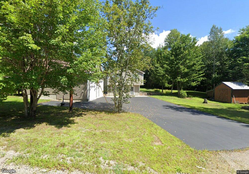
71 Stone Dr Groveton, NH 03582
Estimated Value: $440,000 - $495,000
About This Home
This home is located at 71 Stone Dr, Groveton, NH 03582 and is currently estimated at $473,980, approximately $262 per square foot. 71 Stone Dr is a home.
Ownership History
We collect this data history from publicly available records. To have your information removed, we recommend requesting removal directly through your county’s website.
Purchase Details
Purchase History
We collect this data history from publicly available records. To have your information removed, we recommend requesting removal directly through your county’s website.
| Date | Buyer | Sale Price | Title Company |
|---|---|---|---|
| $175,000 | -- |
Mortgage History
We collect this data history from publicly available records. To have your information removed, we recommend requesting removal directly through your county’s website.
| Date | Status | Borrower | Loan Amount |
|---|---|---|---|
| Previous Owner | $18,000 | ||
| Previous Owner | $144,000 |
Tax History
We collect this data history from publicly available records. To have your information removed, we recommend requesting removal directly through your county’s website.
| Year | Tax Paid | Tax Assessment Tax Assessment Total Assessment is a certain percentage of the fair market value that is determined by local assessors to be the total taxable value of land and additions on the property. | Land | Improvement |
|---|---|---|---|---|
| 2025 | $5,241 | $443,800 | $134,000 | $309,800 |
| 2024 | $4,820 | $443,800 | $134,000 | $309,800 |
| 2023 | $3,684 | $177,800 | $47,300 | $130,500 |
| 2022 | $2,909 | $177,800 | $47,300 | $130,500 |
| 2021 | $3,542 | $177,800 | $47,300 | $130,500 |
| 2020 | $3,200 | $177,800 | $47,300 | $130,500 |
| 2019 | $3,213 | $177,800 | $47,300 | $130,500 |
| 2018 | $2,960 | $164,800 | $38,100 | $126,700 |
| 2017 | $2,870 | $157,800 | $38,100 | $119,700 |
| 2016 | $2,749 | $157,800 | $38,100 | $119,700 |
| 2015 | $2,684 | $157,800 | $38,100 | $119,700 |
| 2014 | $2,758 | $157,800 | $38,100 | $119,700 |
| 2013 | $3,220 | $184,200 | $49,000 | $135,200 |
Map
- 24 Nash Stream Rd
- 299 Cloutier Dr
- 00 Northside Rd Unit 21.1 and 34.12
- 951 Lancaster Rd
- 22 Crow Hill St
- 13 Fiske St
- 5 Cottage St
- 59 Second St
- 94 Hillside Ave
- 57 Brooklyn St
- 27 Hillside Ave
- 14 & 16 Main St
- 14 Winter St
- 201 State St
- 66 Covell Heights
- 0 Town Line Rd Unit 1 and 33 4953131
- 88 Town Line Rd
- 16 Thompson Rd
- 0 Thompson Rd Unit 8
- Lot 10 US Rte 3
Ask me questions while you tour the home.