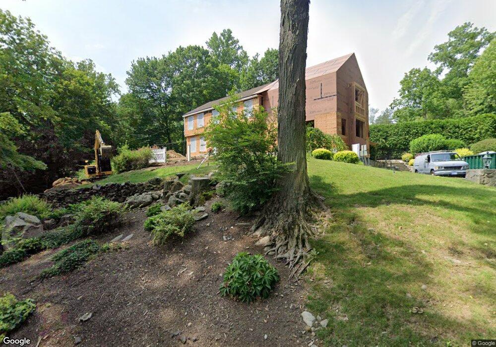
71 Sylvan Rd N Westport, CT 06880
Old Hill NeighborhoodEstimated Value: $2,174,000 - $3,999,000
6
Beds
6
Baths
5,026
Sq Ft
$587/Sq Ft
Est. Value
About This Home
This home is located at 71 Sylvan Rd N, Westport, CT 06880 and is currently estimated at $2,949,935, approximately $586 per square foot. 71 Sylvan Rd N is a home located in Fairfield County with nearby schools including Wolfpit School, Nathan Hale Middle School, and Norwalk High School.
Ownership History
Date
Name
Owned For
Owner Type
Purchase Details
Closed on
May 18, 2005
Sold by
Burke Michael J and Burke Nancy S
Bought by
Huggins Peter Andrew and Huggins Pamela J
Current Estimated Value
Purchase Details
Closed on
Feb 22, 1991
Sold by
Ching Wai and Chang Po H
Bought by
Burke Michael and Burke Julianne
Create a Home Valuation Report for This Property
The Home Valuation Report is an in-depth analysis detailing your home's value as well as a comparison with similar homes in the area
Home Values in the Area
Average Home Value in this Area
Purchase History
| Date | Buyer | Sale Price | Title Company |
|---|---|---|---|
| Huggins Peter Andrew | $1,341,100 | -- | |
| Huggins Peter Andrew | $1,341,100 | -- | |
| Burke Michael | $157,000 | -- |
Source: Public Records
Mortgage History
| Date | Status | Borrower | Loan Amount |
|---|---|---|---|
| Open | Burke Michael | $955,000 | |
| Closed | Burke Michael | $980,000 |
Source: Public Records
Tax History Compared to Growth
Tax History
| Year | Tax Paid | Tax Assessment Tax Assessment Total Assessment is a certain percentage of the fair market value that is determined by local assessors to be the total taxable value of land and additions on the property. | Land | Improvement |
|---|---|---|---|---|
| 2025 | $31,626 | $1,676,900 | $344,000 | $1,332,900 |
| 2024 | $23,482 | $1,261,100 | $344,000 | $917,100 |
| 2023 | $13,372 | $728,700 | $344,000 | $384,700 |
| 2022 | $13,168 | $728,700 | $344,000 | $384,700 |
| 2021 | $13,168 | $728,700 | $344,000 | $384,700 |
| 2020 | $13,079 | $782,700 | $350,700 | $432,000 |
| 2019 | $20,140 | $782,700 | $350,700 | $432,000 |
| 2018 | $19,587 | $782,700 | $350,700 | $432,000 |
| 2017 | $18,861 | $782,700 | $350,700 | $432,000 |
| 2016 | $13,196 | $782,700 | $350,700 | $432,000 |
| 2015 | $12,887 | $712,400 | $325,200 | $387,200 |
| 2014 | $12,780 | $712,400 | $325,200 | $387,200 |
Source: Public Records
Map
Nearby Homes
- 7 Peaceful Ln
- 33 Pequot Trail
- 13 Orchard Hill Rd
- 142 Wolfpit Ave
- 9 Trailside Dr
- 3 Tanglewood Ln
- 13 Hills Ln
- 505 Westport Ave
- 42 Kings Hwy S
- 100 Wolfpit Ave Unit 2
- 100 Wolfpit Ave Unit 17
- 11 Old Hill Rd
- 30 Honeysuckle Dr
- 33 Assisi Way
- 20 Old Hill Rd
- 15 Renzulli Rd
- 11 Mark Dr
- 341 Strawberry Hill Ave
- 38 Saddle Rd
- 21 Wright St
- 43 Orchard Hill Rd
- 75 Sylvan Rd N
- 73 Sylvan Rd N
- 67 Sylvan Rd N
- 41 Orchard Hill Rd
- 42 Pequot Trail
- 41 Pequot Trail
- 70 Sylvan Rd N
- 73 Sylvan Rd N
- 39 Orchard Hill Rd
- 63 Sylvan Rd N
- 133 Murray St
- 62 Sylvan Rd N
- 38 Orchard Hill Rd
- 59 Sylvan Rd N
- 40 Pequot Trail
- 125 Murray St
- 39 Pequot Trail
- 2 Cobble Hill Rd
- 37 Orchard Hill Rd