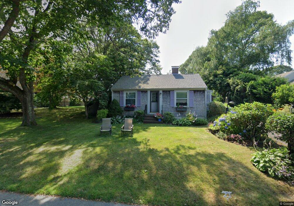
71 Thorne Rd Bourne, MA 2532
Estimated Value: $435,000 - $630,000
1
Bed
1
Bath
785
Sq Ft
$676/Sq Ft
Est. Value
About This Home
This home is located at 71 Thorne Rd, Bourne, MA 2532 and is currently estimated at $530,339, approximately $675 per square foot. 71 Thorne Rd is a home located in Barnstable County with nearby schools including Bourne High School, St Margaret Regional School, and Cadence Academy Preschool - Bourne.
Ownership History
Date
Name
Owned For
Owner Type
Purchase Details
Closed on
Oct 4, 2007
Sold by
Morgan Alfred F and Morgan Marie A
Bought by
Jackson Marilyn
Current Estimated Value
Purchase Details
Closed on
Nov 1, 2000
Sold by
Princigalli Lynne M
Bought by
Morgan Alfred F and Morgan Marie A
Home Financials for this Owner
Home Financials are based on the most recent Mortgage that was taken out on this home.
Original Mortgage
$45,000
Interest Rate
7.83%
Create a Home Valuation Report for This Property
The Home Valuation Report is an in-depth analysis detailing your home's value as well as a comparison with similar homes in the area
Purchase History
| Date | Buyer | Sale Price | Title Company |
|---|---|---|---|
| Jackson Marilyn | $320,000 | -- | |
| Jackson Marilyn | $320,000 | -- | |
| Morgan Alfred F | $185,000 | -- | |
| Morgan Alfred F | $185,000 | -- |
Source: Public Records
Mortgage History
| Date | Status | Borrower | Loan Amount |
|---|---|---|---|
| Previous Owner | Morgan Alfred F | $45,000 | |
| Previous Owner | Morgan Alfred F | $148,000 | |
| Previous Owner | Morgan Alfred F | $38,000 |
Source: Public Records
Tax History
| Year | Tax Paid | Tax Assessment Tax Assessment Total Assessment is a certain percentage of the fair market value that is determined by local assessors to be the total taxable value of land and additions on the property. | Land | Improvement |
|---|---|---|---|---|
| 2025 | $3,464 | $443,500 | $233,800 | $209,700 |
| 2024 | $3,387 | $422,300 | $222,700 | $199,600 |
| 2023 | $3,305 | $375,100 | $197,100 | $178,000 |
| 2022 | $3,205 | $317,600 | $174,400 | $143,200 |
| 2021 | $3,128 | $290,400 | $158,700 | $131,700 |
| 2020 | $3,035 | $282,600 | $157,200 | $125,400 |
| 2019 | $3,090 | $294,000 | $174,700 | $119,300 |
| 2018 | $2,905 | $275,600 | $166,400 | $109,200 |
| 2017 | $2,812 | $273,000 | $164,800 | $108,200 |
| 2016 | $2,550 | $251,000 | $148,300 | $102,700 |
| 2015 | $2,306 | $229,000 | $126,300 | $102,700 |
Source: Public Records
Map
Nearby Homes
- 60 Bourne Neck Dr
- 35 Benedict Rd
- 5 Zoli Ln
- 46 Holt Rd Unit B
- 46 Holt Rd
- 40-A Lafayette Ave
- 4 Van Bummel Rd
- 203 County Rd
- 13 Laurel Hill Ct
- 44 Cotuit Rd
- 56 Rip Van Winkle Way
- 2 Applewood Ct
- 5 Sea Knoll Ct
- 60 Sandwich Rd
- 38 Old Bridge Rd
- 3 Honora Ln Unit 3
- 6 Honora Ct
- 12 Turnberry Rd Unit 12
- 3 Fairway Dr Unit F
- 4 Hollyhock Knoll Ct Unit 4
Your Personal Tour Guide
Ask me questions while you tour the home.