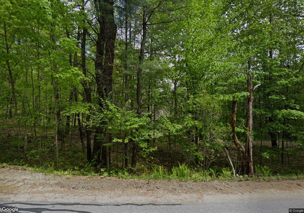
71 Thundercastle Rd Readfield, ME 04355
Estimated Value: $421,905 - $662,000
4
Beds
2
Baths
1,952
Sq Ft
$273/Sq Ft
Est. Value
About This Home
This home is located at 71 Thundercastle Rd, Readfield, ME 04355 and is currently estimated at $533,476, approximately $273 per square foot. 71 Thundercastle Rd is a home located in Kennebec County with nearby schools including Kents Hill School.
Ownership History
Date
Name
Owned For
Owner Type
Purchase Details
Closed on
Sep 13, 2019
Sold by
Premier Hldg Llc
Bought by
Zirtidis Paige D
Current Estimated Value
Purchase Details
Closed on
Mar 1, 2018
Sold by
Lawrence John T
Bought by
Premier Hld Llc
Home Financials for this Owner
Home Financials are based on the most recent Mortgage that was taken out on this home.
Original Mortgage
$208,000
Interest Rate
4.04%
Mortgage Type
Purchase Money Mortgage
Purchase Details
Closed on
Jul 13, 2015
Sold by
Lawrence John T
Bought by
Menatoma Woodland Preserv
Create a Home Valuation Report for This Property
The Home Valuation Report is an in-depth analysis detailing your home's value as well as a comparison with similar homes in the area
Home Values in the Area
Average Home Value in this Area
Purchase History
| Date | Buyer | Sale Price | Title Company |
|---|---|---|---|
| Zirtidis Paige D | -- | -- | |
| Premier Hld Llc | -- | -- | |
| Menatoma Woodland Preserv | -- | -- |
Source: Public Records
Mortgage History
| Date | Status | Borrower | Loan Amount |
|---|---|---|---|
| Previous Owner | Premier Hld Llc | $208,000 |
Source: Public Records
Tax History
| Year | Tax Paid | Tax Assessment Tax Assessment Total Assessment is a certain percentage of the fair market value that is determined by local assessors to be the total taxable value of land and additions on the property. | Land | Improvement |
|---|---|---|---|---|
| 2024 | $4,309 | $321,800 | $37,700 | $284,100 |
| 2023 | $4,004 | $282,800 | $33,100 | $249,700 |
| 2022 | $2,891 | $253,600 | $29,700 | $223,900 |
| 2021 | $3,695 | $234,000 | $27,400 | $206,600 |
| 2020 | $3,769 | $214,500 | $25,100 | $189,400 |
| 2019 | $3,814 | $195,100 | $22,900 | $172,200 |
| 2018 | $3,734 | $192,100 | $22,900 | $169,200 |
| 2017 | $3,706 | $192,100 | $22,900 | $169,200 |
| 2015 | $3,473 | $192,100 | $22,900 | $169,200 |
| 2014 | $3,554 | $192,100 | $22,900 | $169,200 |
Source: Public Records
Map
Nearby Homes
- 155 Old Kents Hill Rd
- 36 Mountain View Ln
- 36 Morrill Rd
- 1477 Main St
- 283 Church Rd
- 135 P Ridge Rd
- 32 Roddy Ln
- 9 Russell St
- 1588 Pond Rd
- 75 Lovejoy Shores Dr
- 1835 Main St
- 9 Pinegrove Rd
- 47 Round Stone Rd
- 214 Desert Pond Rd
- 29 Kents Hill Rd
- 625 Plains Rd
- 933 Bean Rd
- 1443 North Rd
- 57 Deer Hill Rd
- 882 Memorial Dr
- 71 Thunder Castle Rd
- 80 Thundercastle Rd
- 51 Thundercastle Rd
- 40 Thundercastle Rd
- 94 Thundercastle Rd
- 33 Thundercastle Rd
- 37 Thundercastle Rd
- 60 Thundercastle Rd
- 21 Thundercastle Rd
- 3 Torsey Shores Rd
- 110 Thundercastle Rd
- 117 Thundercastle Rd
- 11 Thundercastle Rd
- 118 Thundercastle Rd
- 11 Old Stage Rd
- 152 Old Kents Hill Rd
- 00 Thunder Castle Rd
- 126 Old Kents Hill Rd
- 0 Torsey Shore Rd
- 34 Torsey Shores Rd
Your Personal Tour Guide
Ask me questions while you tour the home.
