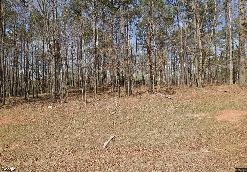
71 Turkey Point Dr Lagrange, GA 30240
Estimated Value: $268,000 - $379,063
About This Home
This home is located at 71 Turkey Point Dr, Lagrange, GA 30240 and is currently estimated at $323,016, approximately $221 per square foot. 71 Turkey Point Dr is a home located in Troup County with nearby schools including Ethel W. Kight Elementary School, Hollis Hand Elementary School, and Franklin Forest Elementary School.
Ownership History
We collect this data history from publicly available records. To have your information removed, we recommend requesting removal directly through your county’s website.
Purchase Details
Purchase Details
Purchase Details
Purchase Details
Purchase Details
Purchase History
We collect this data history from publicly available records. To have your information removed, we recommend requesting removal directly through your county’s website.
| Date | Buyer | Sale Price | Title Company |
|---|---|---|---|
| $202,500 | -- | ||
| $168,500 | -- | ||
| $26,900 | -- | ||
| $20,000 | -- | ||
| $15,300 | -- | ||
| $15,300 | -- |
Tax History
We collect this data history from publicly available records. To have your information removed, we recommend requesting removal directly through your county’s website.
| Year | Tax Paid | Tax Assessment Tax Assessment Total Assessment is a certain percentage of the fair market value that is determined by local assessors to be the total taxable value of land and additions on the property. | Land | Improvement |
|---|---|---|---|---|
| 2025 | $3,596 | $151,476 | $24,080 | $127,396 |
| 2024 | $2,697 | $100,892 | $24,080 | $76,812 |
| 2023 | $2,596 | $97,180 | $24,080 | $73,100 |
| 2022 | $2,517 | $92,180 | $24,080 | $68,100 |
| 2021 | $2,720 | $92,160 | $26,040 | $66,120 |
| 2020 | $2,720 | $92,160 | $26,040 | $66,120 |
| 2019 | $2,484 | $84,360 | $26,040 | $58,320 |
| 2018 | $2,324 | $79,040 | $26,040 | $53,000 |
| 2017 | $2,324 | $79,040 | $26,040 | $53,000 |
| 2016 | $2,282 | $77,652 | $26,040 | $51,612 |
| 2015 | $2,286 | $77,652 | $26,040 | $51,612 |
| 2014 | $2,208 | $74,936 | $26,040 | $48,896 |
| 2013 | -- | $76,509 | $26,040 | $50,469 |
Map
- 685 Rock Mills Rd
- 511 Williams Rd
- 0 Leisure Cove Dr Unit 10619411
- 0 Deer Pointe Ct Unit 27878387
- 42 Deer Pointe Ct
- 0 Neely Rd Unit 10776228
- 205 Long Cove Dr
- 217 Long Cove Dr
- 0 Whatley North Rd Unit 10792621
- 265 Neely Rd
- 110 Thomas Dr
- 104 Dogwood Point
- 213 Linda Ln
- 103 Dogwood Ct
- 4004 White Oak Ln
- 106 Mckinley Cir
- 102 Mckinley Cir
- 1017 Riverside Dr
- 0 Liberty Hill Rd Unit 231760
- 134 N Lake Dr
- 21 Turkey Point Dr
- 110 Turkey Point Dr
- 20 Turkey Point Dr
- 1170 Rock Mills Rd
- 1136 Rock Mills Rd
- 990 Rock Mills Rd
- 72 S Whatley Rd
- 1230 Rock Mills Rd
- 44 S Whatley Rd
- 1161 Rock Mills Rd
- 768 Rock Mills Rd
- 60 Holliday Rd
- 0 Turkey Point Dr Unit LOT 2 9064362
- 0 Turkey Point Dr Unit LOT 4 9022275
- 0 Turkey Point Dr Unit LOT 3 9022264
- 0 Turkey Point Dr Unit Lot 2 8810756
- 0 Turkey Point Dr Unit Lot 3 8810775
- 0 Turkey Point Dr Unit Lot 4 8810788
- 190 Turkey Point Dr Unit 64
- 190 Turkey Point Dr
Ask me questions while you tour the home.