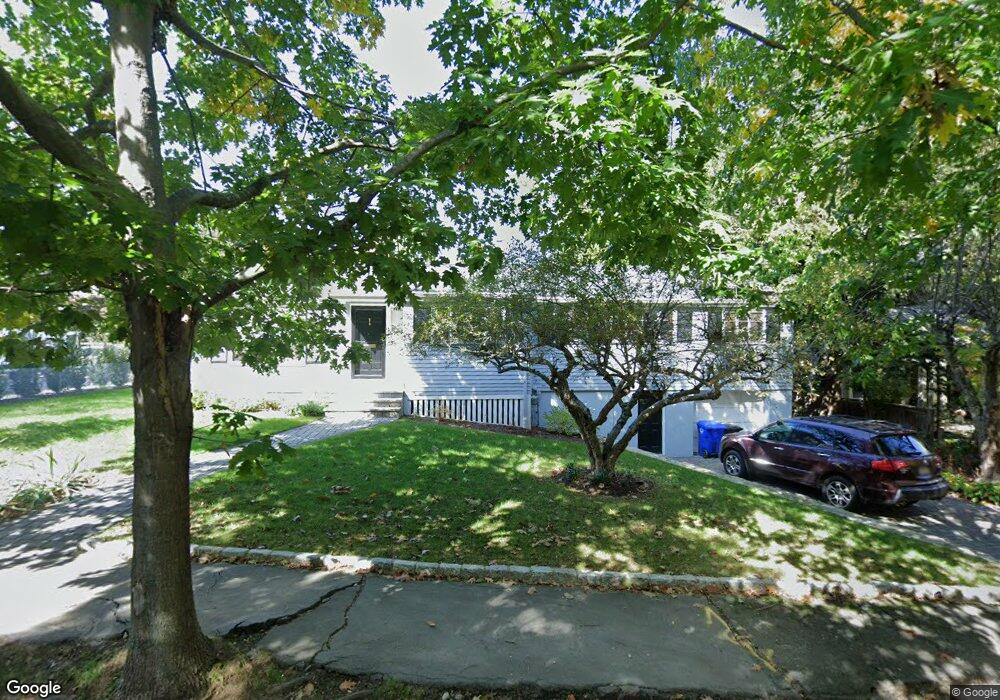
71 Upland Rd Brookline, MA 02445
Brookline Village NeighborhoodEstimated Value: $1,853,579 - $2,407,000
4
Beds
2
Baths
1,696
Sq Ft
$1,221/Sq Ft
Est. Value
About This Home
This home is located at 71 Upland Rd, Brookline, MA 02445 and is currently estimated at $2,070,395, approximately $1,220 per square foot. 71 Upland Rd is a home located in Norfolk County with nearby schools including William H. Lincoln School, St. Mary of the Assumption Elementary School, and Maimonides School.
Ownership History
Date
Name
Owned For
Owner Type
Purchase Details
Closed on
Aug 28, 2009
Sold by
Wenz Michele and Beach Robert
Bought by
Maguire James H and Li Xiaofang
Current Estimated Value
Home Financials for this Owner
Home Financials are based on the most recent Mortgage that was taken out on this home.
Original Mortgage
$523,750
Outstanding Balance
$342,182
Interest Rate
5.17%
Mortgage Type
Purchase Money Mortgage
Estimated Equity
$1,728,213
Create a Home Valuation Report for This Property
The Home Valuation Report is an in-depth analysis detailing your home's value as well as a comparison with similar homes in the area
Home Values in the Area
Average Home Value in this Area
Purchase History
| Date | Buyer | Sale Price | Title Company |
|---|---|---|---|
| Maguire James H | $937,000 | -- |
Source: Public Records
Mortgage History
| Date | Status | Borrower | Loan Amount |
|---|---|---|---|
| Open | Maguire James H | $523,750 |
Source: Public Records
Tax History Compared to Growth
Tax History
| Year | Tax Paid | Tax Assessment Tax Assessment Total Assessment is a certain percentage of the fair market value that is determined by local assessors to be the total taxable value of land and additions on the property. | Land | Improvement |
|---|---|---|---|---|
| 2025 | $18,383 | $1,862,500 | $1,484,000 | $378,500 |
| 2024 | $17,476 | $1,788,700 | $1,426,900 | $361,800 |
| 2023 | $14,815 | $1,486,000 | $1,106,600 | $379,400 |
| 2022 | $14,420 | $1,415,100 | $1,053,800 | $361,300 |
| 2021 | $13,335 | $1,360,700 | $1,013,300 | $347,400 |
| 2020 | $11,933 | $1,262,800 | $921,200 | $341,600 |
| 2019 | $11,268 | $1,202,600 | $877,300 | $325,300 |
| 2018 | $10,551 | $1,115,300 | $791,700 | $323,600 |
| 2017 | $10,394 | $1,052,000 | $746,800 | $305,200 |
| 2016 | $10,245 | $983,200 | $698,000 | $285,200 |
| 2015 | $9,814 | $918,900 | $652,300 | $266,600 |
| 2014 | $9,463 | $830,800 | $593,100 | $237,700 |
Source: Public Records
Map
Nearby Homes
- 20 Rice St Unit 2
- 36 Allerton St
- 99 Pond Ave Unit 608
- 81 Glen Rd Unit S2
- 60 Glen Rd Unit 101
- 105 Franklin St Unit 1
- 6 Juniper St Unit 16
- 33 Pond Ave Unit 422
- 33 Pond Ave Unit 709
- 33 Pond Ave Unit 523
- 33 Pond Ave Unit 919
- 77 Pond Ave Unit 1103
- 12 Thayer St
- 44 Washington St Unit 501
- 72 Cypress St Unit 1
- 12 Goodwin Place Unit 12-1
- 12 Goodwin Place Unit 12-2
- 11 Goodwin Place Unit 11-2
- 18 Cushing Rd
- 39 Kent St Unit B