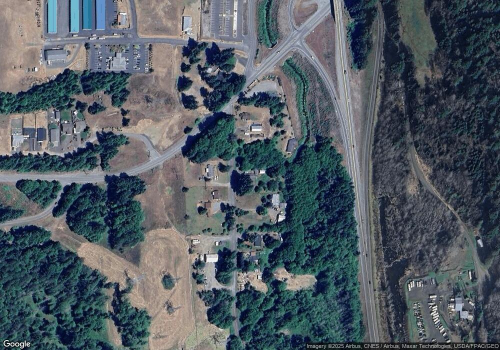
71 W Deegan Rd W Shelton, WA 98584
Estimated Value: $348,632 - $399,000
2
Beds
3
Baths
1,481
Sq Ft
$252/Sq Ft
Est. Value
About This Home
This home is located at 71 W Deegan Rd W, Shelton, WA 98584 and is currently estimated at $372,908, approximately $251 per square foot. 71 W Deegan Rd W is a home located in Mason County with nearby schools including Evergreen Elementary School, Oakland Bay Junior High School, and Olympic Middle School.
Ownership History
Date
Name
Owned For
Owner Type
Purchase Details
Closed on
Mar 11, 2010
Sold by
Cronquist Kasey J G and Cronquist Tarah M
Bought by
Black Trail and Black Maureen
Current Estimated Value
Home Financials for this Owner
Home Financials are based on the most recent Mortgage that was taken out on this home.
Original Mortgage
$154,745
Outstanding Balance
$105,191
Interest Rate
5.5%
Mortgage Type
FHA
Estimated Equity
$267,717
Purchase Details
Closed on
Feb 9, 2006
Sold by
Cornquist Kasey J G
Bought by
Cornquist Kasey J G and Goodwin Tarah M
Home Financials for this Owner
Home Financials are based on the most recent Mortgage that was taken out on this home.
Original Mortgage
$136,000
Interest Rate
6.15%
Mortgage Type
New Conventional
Create a Home Valuation Report for This Property
The Home Valuation Report is an in-depth analysis detailing your home's value as well as a comparison with similar homes in the area
Home Values in the Area
Average Home Value in this Area
Purchase History
| Date | Buyer | Sale Price | Title Company |
|---|---|---|---|
| Black Trail | $157,600 | First American Title | |
| Cornquist Kasey J G | -- | Land Title Co |
Source: Public Records
Mortgage History
| Date | Status | Borrower | Loan Amount |
|---|---|---|---|
| Open | Black Trail | $154,745 | |
| Previous Owner | Cornquist Kasey J G | $136,000 |
Source: Public Records
Tax History Compared to Growth
Tax History
| Year | Tax Paid | Tax Assessment Tax Assessment Total Assessment is a certain percentage of the fair market value that is determined by local assessors to be the total taxable value of land and additions on the property. | Land | Improvement |
|---|---|---|---|---|
| 2025 | $2,339 | $277,050 | $64,635 | $212,415 |
| 2023 | $2,339 | $219,020 | $54,960 | $164,060 |
| 2022 | $2,373 | $208,260 | $40,710 | $167,550 |
| 2021 | $2,125 | $208,260 | $40,710 | $167,550 |
| 2020 | $1,807 | $169,185 | $32,570 | $136,615 |
| 2018 | $1,755 | $112,900 | $39,990 | $72,910 |
| 2017 | $1,454 | $112,900 | $39,990 | $72,910 |
| 2016 | $1,328 | $103,920 | $37,860 | $66,060 |
| 2015 | $1,340 | $100,090 | $34,030 | $66,060 |
| 2014 | -- | $99,205 | $34,030 | $65,175 |
| 2013 | -- | $111,055 | $27,650 | $83,405 |
Source: Public Records
Map
Nearby Homes
- 1783 W Shelton Matlock Rd
- 0 W Deegan Rd W
- 321 Berry Ridge Rd
- 2238 W Railroad Ave
- 1 XXX W Shelton Matlock Rd
- 630 May Ave
- 1107 W Harvard Ave
- 1118 May Ave
- 1313 W Cota St Unit 27
- 0 Xxx Unit NWM2420430
- 890 W Wynwood Dr
- 928 Olympic Ave
- 725 W Wyandotte Ave
- 629 Turner Ave
- 716 Meridian Ave
- 505 S 8th St
- 2230 Beverly Blvd
- 1212 W Railroad Ave
- 607 W Wyandotte Ave
- 2119 Lake Blvd
- 31 W Deegan Rd W
- 0 0 W Deegan Rd
- 100 W Deegan Rd W
- 80 W Deegan Rd W
- 151 W Deegan Rd W
- 160 W Deegan Rd W
- 181 W Deegan Rd W
- 21 W Hulbert Rd
- 0 xxx W Shelton Matlock Rd
- 41 W Hulbert Rd
- 241 W Deegan Rd W
- 1 W Shelton Matlock Rd
- 0 W Shelton Matlock Rd Unit 876108
- 0 W Shelton Matlock Rd Unit 950527
- 0 W Shelton Matlock Rd Unit 689131
- 0 W Shelton Matlock Rd Unit 1078048
- 0 W Shelton Matlock Rd Unit 28150248
- 0 W Shelton Matlock Rd Unit 1213790
- 0 W Shelton Matlock Rd Unit NWM30702082
- 0 W Shelton Matlock Rd Unit NWM30901540
