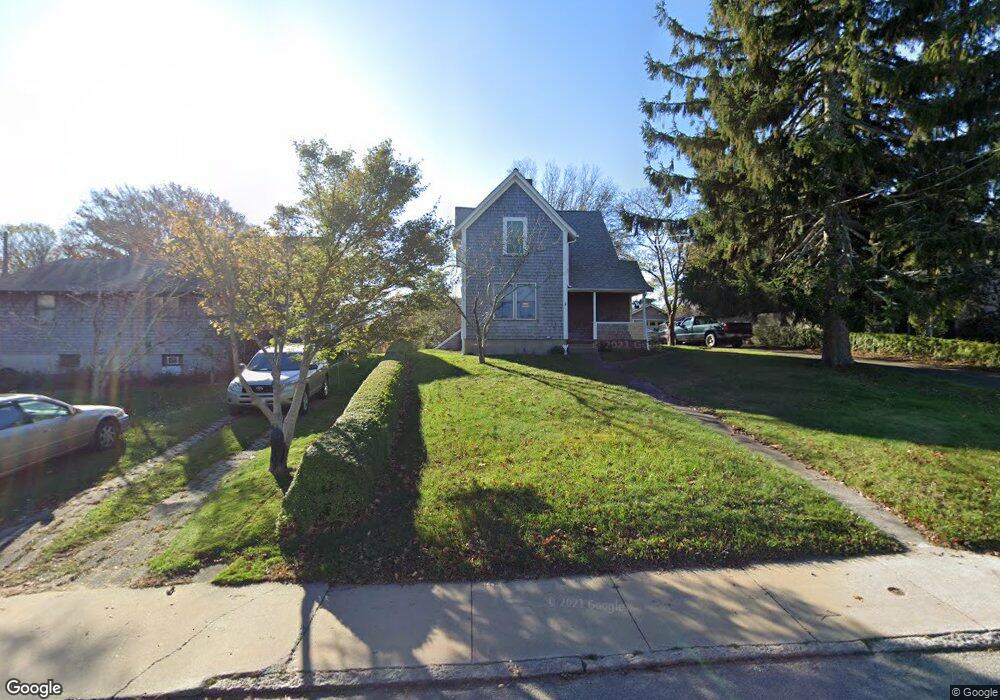
71 W William St Vineyard Haven, MA 02568
Vineyard Haven NeighborhoodEstimated Value: $1,056,000 - $1,374,000
4
Beds
2
Baths
1,368
Sq Ft
$863/Sq Ft
Est. Value
About This Home
This home is located at 71 W William St, Vineyard Haven, MA 02568 and is currently estimated at $1,180,114, approximately $862 per square foot. 71 W William St is a home located in Dukes County with nearby schools including Tisbury Elementary School, Martha's Vineyard Regional High School, and Martha's Vineyard Charter School.
Ownership History
Date
Name
Owned For
Owner Type
Purchase Details
Closed on
Jun 17, 2020
Sold by
Rogers George J and Rogers Dennis
Bought by
Rogers Florine
Current Estimated Value
Purchase Details
Closed on
Nov 6, 2018
Sold by
Rogers Florine
Bought by
Rogers George J
Purchase Details
Closed on
Aug 16, 2016
Sold by
Rogers Rt
Bought by
Rogers George J and Rogers Florine
Purchase Details
Closed on
Nov 1, 1993
Bought by
Rogers George J
Create a Home Valuation Report for This Property
The Home Valuation Report is an in-depth analysis detailing your home's value as well as a comparison with similar homes in the area
Home Values in the Area
Average Home Value in this Area
Purchase History
| Date | Buyer | Sale Price | Title Company |
|---|---|---|---|
| Rogers Florine | -- | None Available | |
| Rogers George J | -- | -- | |
| Rogers George J | -- | -- | |
| Rogers George J | -- | -- |
Source: Public Records
Tax History
| Year | Tax Paid | Tax Assessment Tax Assessment Total Assessment is a certain percentage of the fair market value that is determined by local assessors to be the total taxable value of land and additions on the property. | Land | Improvement |
|---|---|---|---|---|
| 2025 | $7,125 | $941,200 | $549,500 | $391,700 |
| 2024 | $6,863 | $860,000 | $457,900 | $402,100 |
| 2023 | $5,828 | $796,200 | $379,200 | $417,000 |
| 2022 | $5,241 | $602,400 | $282,400 | $320,000 |
| 2021 | $5,200 | $567,100 | $282,400 | $284,700 |
| 2020 | $5,098 | $546,400 | $304,100 | $242,300 |
| 2019 | $5,010 | $546,400 | $304,100 | $242,300 |
| 2018 | $4,464 | $472,400 | $265,300 | $207,100 |
| 2017 | $3,876 | $425,500 | $247,600 | $177,900 |
| 2016 | $3,659 | $399,500 | $235,800 | $163,700 |
| 2015 | $3,550 | $398,000 | $234,300 | $163,700 |
Source: Public Records
Map
Nearby Homes
- 5A2.12 State Rd
- 70 Spring St
- 35 Mount Aldworth Rd
- 61 Causeway Rd
- 11 Macs Ln
- 33 Lagoon Pond Rd
- 124 Skiff Ave Unit C-12
- 124 Skiff Ave Unit D-10
- 124 Skiff Ave Unit C-12
- 4 Lagoon Pond Rd
- 140 Midland Ave
- 34 Davis St
- 96 Dunham Ave
- 15 Goah Way
- 378 State Rd
- 116 Franklin Terrace
- 51 Lantern Ln
- 187 Lagoon Pond Rd
- 50 Lantern Ln
- 344 Greenwood Ave
Your Personal Tour Guide
Ask me questions while you tour the home.