Estimated Value: $1,081,000 - $1,290,000
4
Beds
4
Baths
2,878
Sq Ft
$420/Sq Ft
Est. Value
About This Home
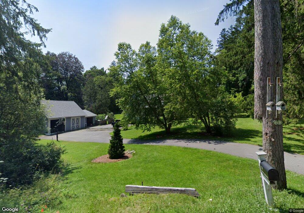
This home is located at 71 Yokun Ave, Lenox, MA 01240 and is currently estimated at $1,209,790, approximately $420 per square foot. 71 Yokun Ave is a home located in Berkshire County with nearby schools including Morris Elementary School, Lenox Memorial High School, and Berkshire Country Day School.
Ownership History
Date
Name
Owned For
Owner Type
Purchase Details
Closed on
May 6, 2022
Sold by
Liponis Mark and Mcnally Siobhan
Bought by
Liponis Mark and Mcnally Siobhan
Current Estimated Value
Purchase Details
Closed on
May 16, 1995
Sold by
Woodger Ronald R and Woodger Kathleen R
Bought by
Liponis Mark and Mcnally Siobhan
Home Financials for this Owner
Home Financials are based on the most recent Mortgage that was taken out on this home.
Original Mortgage
$300,000
Interest Rate
8.31%
Mortgage Type
Purchase Money Mortgage
Create a Home Valuation Report for This Property
The Home Valuation Report is an in-depth analysis detailing your home's value as well as a comparison with similar homes in the area
Home Values in the Area
Average Home Value in this Area
Purchase History
| Date | Buyer | Sale Price | Title Company |
|---|---|---|---|
| Liponis Mark | -- | None Available | |
| Liponis Mark | $320,000 | -- |
Source: Public Records
Mortgage History
| Date | Status | Borrower | Loan Amount |
|---|---|---|---|
| Previous Owner | Liponis Mark | $415,000 | |
| Previous Owner | Liponis Mark | $432,000 | |
| Previous Owner | Liponis Mark | $25,000 | |
| Previous Owner | Liponis Mark | $300,000 | |
| Closed | Liponis Mark | $100,000 |
Source: Public Records
Tax History
| Year | Tax Paid | Tax Assessment Tax Assessment Total Assessment is a certain percentage of the fair market value that is determined by local assessors to be the total taxable value of land and additions on the property. | Land | Improvement |
|---|---|---|---|---|
| 2025 | $9,888 | $1,092,600 | $495,100 | $597,500 |
| 2024 | $9,517 | $1,049,300 | $467,100 | $582,200 |
| 2023 | $9,402 | $1,026,400 | $416,200 | $610,200 |
| 2022 | $9,184 | $847,200 | $346,900 | $500,300 |
| 2021 | $8,636 | $741,300 | $318,000 | $423,300 |
| 2020 | $8,878 | $733,700 | $310,000 | $423,700 |
| 2019 | $8,692 | $727,400 | $310,000 | $417,400 |
| 2018 | $8,693 | $716,100 | $303,900 | $412,200 |
| 2017 | $8,623 | $706,200 | $297,800 | $408,400 |
| 2016 | $8,095 | $665,700 | $274,900 | $390,800 |
| 2015 | $8,278 | $671,400 | $303,500 | $367,900 |
Source: Public Records
Map
Nearby Homes
- 15 Hubbard St
- 46 Housatonic St Unit 2B
- 31 Saint Ann's Ave
- 13 Taconic Ave
- 4 Morgan Manor Unit 4
- 6 Morgan Manor Unit 6-2
- 137 Housatonic St
- 319 Under Mountain Rd
- 1 Pinecroft Dr
- 250 West St
- 200 Old Stockbridge Rd Unit Vanna 3
- 19 and 21 Wheatleigh Dr
- 15 Wexford Ct Unit 32
- 0 East St
- 30 Clifden Ct Unit 2
- 9 October Hill Dr
- 18 Highcrest Rd
- 18 Highcrest Rd Unit 20
- 19 Hawthorne Rd Unit Carriage Barn E-2
- 286 Lee Rd