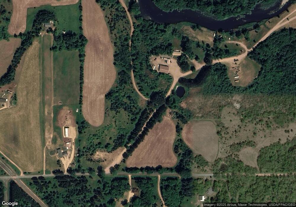
710 170th Ave Somerset, WI 54025
Estimated Value: $898,000 - $1,803,000
--
Bed
--
Bath
--
Sq Ft
35.26
Acres
About This Home
This home is located at 710 170th Ave, Somerset, WI 54025 and is currently estimated at $1,256,361. 710 170th Ave is a home located in St. Croix County with nearby schools including Somerset Elementary School, Somerset Middle School, and Somerset High School.
Ownership History
Date
Name
Owned For
Owner Type
Purchase Details
Closed on
Apr 25, 2025
Sold by
Hideaway Llc and Kappers Michael B
Bought by
B & R Properties Llc
Current Estimated Value
Purchase Details
Closed on
May 22, 2018
Sold by
Apple River Land Company Llc
Bought by
Kappers Michael B
Home Financials for this Owner
Home Financials are based on the most recent Mortgage that was taken out on this home.
Original Mortgage
$393,000
Interest Rate
4.5%
Mortgage Type
Commercial
Purchase Details
Closed on
May 20, 2016
Sold by
Apple River Land Company Llc
Bought by
Kappers Michael B
Home Financials for this Owner
Home Financials are based on the most recent Mortgage that was taken out on this home.
Original Mortgage
$393,625
Interest Rate
3.58%
Mortgage Type
Seller Take Back
Create a Home Valuation Report for This Property
The Home Valuation Report is an in-depth analysis detailing your home's value as well as a comparison with similar homes in the area
Home Values in the Area
Average Home Value in this Area
Purchase History
| Date | Buyer | Sale Price | Title Company |
|---|---|---|---|
| B & R Properties Llc | $1,200,000 | St Croix County Abstract & Tit | |
| Kappers Michael B | -- | Abstracts & Titles | |
| Kappers Michael B | $402,000 | Attorney |
Source: Public Records
Mortgage History
| Date | Status | Borrower | Loan Amount |
|---|---|---|---|
| Previous Owner | Kappers Michael B | $393,000 | |
| Previous Owner | Kappers Michael B | $393,625 |
Source: Public Records
Tax History Compared to Growth
Tax History
| Year | Tax Paid | Tax Assessment Tax Assessment Total Assessment is a certain percentage of the fair market value that is determined by local assessors to be the total taxable value of land and additions on the property. | Land | Improvement |
|---|---|---|---|---|
| 2024 | $61 | $578,300 | $194,900 | $383,400 |
| 2023 | $6,137 | $578,400 | $195,000 | $383,400 |
| 2022 | $6,177 | $578,400 | $195,000 | $383,400 |
| 2021 | $5,945 | $394,700 | $125,900 | $268,800 |
| 2020 | $5,385 | $394,800 | $126,000 | $268,800 |
| 2019 | $4,942 | $356,200 | $126,100 | $230,100 |
| 2018 | $4,841 | $356,200 | $126,100 | $230,100 |
| 2017 | $5,935 | $356,200 | $126,100 | $230,100 |
| 2016 | $5,935 | $339,000 | $116,100 | $222,900 |
| 2015 | $5,672 | $339,000 | $116,100 | $222,900 |
| 2014 | $5,417 | $339,000 | $116,100 | $222,900 |
| 2013 | $5,445 | $339,000 | $116,100 | $222,900 |
Source: Public Records
Map
Nearby Homes
- 528 Jackson Cir
- 5XX County Road I
- Lot #9 xxx 165th Ct
- 726 160th Ave
- 314 Cedar St
- 1820 County Road C
- 415 Bruce Larson Way
- 231 Plum Tree Ln
- 108 Main St
- 309 Walnut Ln
- 318 Aspen Dr
- 1653 85th St
- 873 Sutherland St
- 213 Church Hill Rd
- 869 Sutherland St
- 861 Sutherland St
- 857 Sutherland St
- 829 Sutherland St
- 837 Sutherland St
- 1655 85th St