Estimated Value: $24,000 - $141,000
3
Beds
2
Baths
1,316
Sq Ft
$48/Sq Ft
Est. Value
About This Home
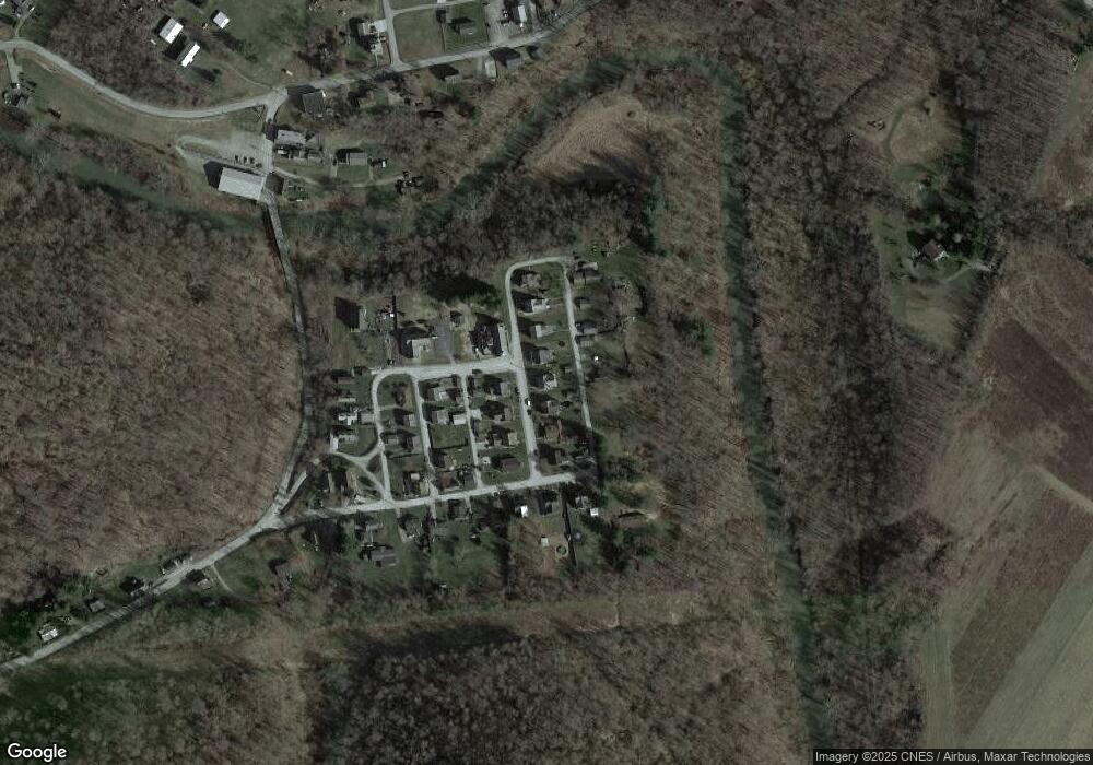
This home is located at 710 2nd St, Smock, PA 15480 and is currently estimated at $63,668, approximately $48 per square foot. 710 2nd St is a home located in Fayette County with nearby schools including Uniontown Area Senior High School.
Ownership History
Date
Name
Owned For
Owner Type
Purchase Details
Closed on
Jul 1, 2020
Sold by
Rutter Christine A and Bedner Christine A
Bought by
Tittnich George S
Current Estimated Value
Purchase Details
Closed on
Dec 10, 2004
Bought by
Rutter Christine A
Create a Home Valuation Report for This Property
The Home Valuation Report is an in-depth analysis detailing your home's value as well as a comparison with similar homes in the area
Home Values in the Area
Average Home Value in this Area
Purchase History
| Date | Buyer | Sale Price | Title Company |
|---|---|---|---|
| Tittnich George S | $18,000 | None Available | |
| Rutter Christine A | $20,000 | -- |
Source: Public Records
Tax History
| Year | Tax Paid | Tax Assessment Tax Assessment Total Assessment is a certain percentage of the fair market value that is determined by local assessors to be the total taxable value of land and additions on the property. | Land | Improvement |
|---|---|---|---|---|
| 2025 | $406 | $15,910 | $3,630 | $12,280 |
| 2024 | $388 | $15,910 | $3,630 | $12,280 |
| 2023 | $775 | $15,910 | $3,630 | $12,280 |
| 2022 | $775 | $15,910 | $3,630 | $12,280 |
| 2021 | $775 | $15,910 | $3,630 | $12,280 |
| 2020 | $758 | $15,910 | $3,630 | $12,280 |
| 2019 | $703 | $15,910 | $3,630 | $12,280 |
| 2018 | $665 | $15,910 | $3,630 | $12,280 |
| 2017 | $665 | $15,910 | $3,630 | $12,280 |
| 2016 | -- | $15,910 | $3,630 | $12,280 |
| 2015 | -- | $15,910 | $3,630 | $12,280 |
| 2014 | -- | $31,820 | $7,260 | $24,560 |
Source: Public Records
Map
Nearby Homes
- 0 Alpine Ln Unit 1706795
- 1161 1st St
- 377 Crabapple Rd
- 912 Keisterville Rd
- 218 Hatfield Rd
- 116 New Hill Rd
- 0 Curfew Rd
- 107 Madison St
- 239 Main St
- 428 Grindstone Rd
- 217 Virgin Run Rd
- 390 Snuff Ridge Rd
- 133 Cemetery Rd
- Braznell Concrete Rd
- 100 Bank St
- SR 51 Vances Mill Rd
- 1204 Pittsburgh Rd
- 160 Main St
- 300 Stone Church Rd
- 225 Lynn Rd
Your Personal Tour Guide
Ask me questions while you tour the home.
