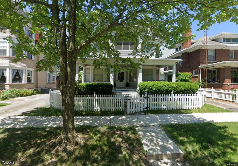
710 Birchard Ave Unit 712 Fremont, OH 43420
Estimated Value: $130,000 - $202,136
4
Beds
2
Baths
2,432
Sq Ft
$65/Sq Ft
Est. Value
About This Home
This home is located at 710 Birchard Ave Unit 712, Fremont, OH 43420 and is currently estimated at $159,034, approximately $65 per square foot. 710 Birchard Ave Unit 712 is a home located in Sandusky County with nearby schools including Fremont Ross High School, St. Joseph School, and St. Ann Catholic School.
Ownership History
Date
Name
Owned For
Owner Type
Purchase Details
Closed on
Jan 26, 2005
Sold by
Philo Ltd
Bought by
Rimelspach Linda L and Linda L Rimelspach Living Trus
Current Estimated Value
Home Financials for this Owner
Home Financials are based on the most recent Mortgage that was taken out on this home.
Original Mortgage
$97,500
Outstanding Balance
$49,623
Interest Rate
5.77%
Mortgage Type
Purchase Money Mortgage
Estimated Equity
$109,411
Purchase Details
Closed on
Jan 1, 1979
Bought by
Rimelspach Linda L Trust
Create a Home Valuation Report for This Property
The Home Valuation Report is an in-depth analysis detailing your home's value as well as a comparison with similar homes in the area
Home Values in the Area
Average Home Value in this Area
Purchase History
| Date | Buyer | Sale Price | Title Company |
|---|---|---|---|
| Rimelspach Linda L | $97,500 | Midland Title | |
| Rimelspach Linda L Trust | $39,700 | -- |
Source: Public Records
Mortgage History
| Date | Status | Borrower | Loan Amount |
|---|---|---|---|
| Open | Rimelspach Linda L | $97,500 |
Source: Public Records
Tax History Compared to Growth
Tax History
| Year | Tax Paid | Tax Assessment Tax Assessment Total Assessment is a certain percentage of the fair market value that is determined by local assessors to be the total taxable value of land and additions on the property. | Land | Improvement |
|---|---|---|---|---|
| 2024 | $2,415 | $64,060 | $8,020 | $56,040 |
| 2023 | $2,415 | $50,860 | $6,370 | $44,490 |
| 2022 | $2,015 | $50,860 | $6,370 | $44,490 |
| 2021 | $2,079 | $50,860 | $6,370 | $44,490 |
| 2020 | $1,531 | $36,890 | $6,370 | $30,520 |
| 2019 | $1,585 | $36,890 | $6,370 | $30,520 |
| 2018 | $1,504 | $36,890 | $6,370 | $30,520 |
| 2017 | $1,476 | $35,420 | $6,370 | $29,050 |
| 2016 | $1,298 | $35,420 | $6,370 | $29,050 |
| 2015 | $1,735 | $35,420 | $6,370 | $29,050 |
| 2014 | $1,620 | $40,570 | $6,410 | $34,160 |
| 2013 | $1,502 | $40,570 | $6,410 | $34,160 |
Source: Public Records
Map
Nearby Homes
- 619 Hayes Ave
- 1037 Buckland Ave
- 1015 Hayes Ave
- 515 S Arch St
- 616 S Wood St
- 1009 Napoleon St
- 427 N Clover St
- 815 South St
- 625 Bush Place
- 501 Jackson St Unit 50
- 1028 June St
- 516 N Front St
- 208 E State St
- 1342 Mcpherson Blvd
- 224 Sandusky Ave Unit 226
- 1611 Mcpherson Blvd
- 905 Twinn St
- 1013 Whittlesey St
- 340 340 Sandusky Ave
- 711 Rawson Ave
- 708 Birchard Ave
- 716 Birchard Ave
- 704 Birchard Ave
- 722 Birchard Ave
- 215 S Wood St
- 700 Birchard Ave
- 211 S Wood St
- 717 Garrison St
- 705 Birchard Ave
- 719 Garrison St
- 711 Garrison St
- 719 Birchard Ave Unit 1.2
- 719 Birchard Ave
- 707 Birchard Ave
- 711 Birchard Ave
- 295 S Clover St
- 719 721 Birchard Ave
- 800 Birchard Ave
- 212 S Wood St
- 210 S Wood St