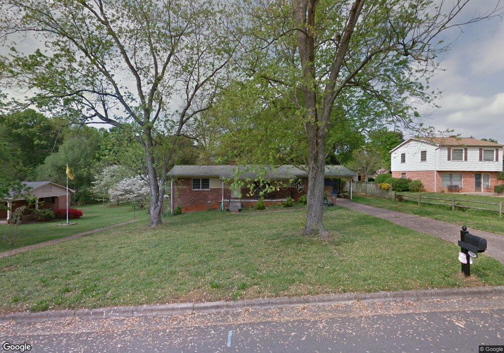
710 Branton Dr Shelby, NC 28152
Estimated Value: $236,000 - $339,000
4
Beds
4
Baths
2,397
Sq Ft
$123/Sq Ft
Est. Value
About This Home
This home is located at 710 Branton Dr, Shelby, NC 28152 and is currently estimated at $294,883, approximately $123 per square foot. 710 Branton Dr is a home located in Cleveland County with nearby schools including James Love Elementary School, Graham Elementary School, and Shelby Middle School.
Ownership History
Date
Name
Owned For
Owner Type
Purchase Details
Closed on
Jan 26, 2009
Sold by
Deutsche Bank National Trust Company Ame
Bought by
Jernigan Jackson Daniel
Current Estimated Value
Home Financials for this Owner
Home Financials are based on the most recent Mortgage that was taken out on this home.
Original Mortgage
$86,700
Outstanding Balance
$54,746
Interest Rate
5.08%
Mortgage Type
Purchase Money Mortgage
Estimated Equity
$240,137
Purchase Details
Closed on
Jun 9, 2008
Sold by
Causby David Alan and Estep Briana
Bought by
Deutsche Bank Trust Company Americas and Bankers Trust Company
Purchase Details
Closed on
Feb 9, 2006
Sold by
Bean Christopher Thomas and Bean Cathy M
Bought by
Caisby David Alan and Estep Briana
Home Financials for this Owner
Home Financials are based on the most recent Mortgage that was taken out on this home.
Original Mortgage
$119,500
Interest Rate
9.25%
Mortgage Type
Adjustable Rate Mortgage/ARM
Create a Home Valuation Report for This Property
The Home Valuation Report is an in-depth analysis detailing your home's value as well as a comparison with similar homes in the area
Home Values in the Area
Average Home Value in this Area
Purchase History
| Date | Buyer | Sale Price | Title Company |
|---|---|---|---|
| Jernigan Jackson Daniel | $85,000 | None Available | |
| Deutsche Bank Trust Company Americas | $107,100 | None Available | |
| Caisby David Alan | $119,500 | None Available |
Source: Public Records
Mortgage History
| Date | Status | Borrower | Loan Amount |
|---|---|---|---|
| Open | Jernigan Jackson Daniel | $86,700 | |
| Previous Owner | Caisby David Alan | $119,500 |
Source: Public Records
Tax History Compared to Growth
Tax History
| Year | Tax Paid | Tax Assessment Tax Assessment Total Assessment is a certain percentage of the fair market value that is determined by local assessors to be the total taxable value of land and additions on the property. | Land | Improvement |
|---|---|---|---|---|
| 2025 | $2,466 | $247,884 | $20,088 | $227,796 |
| 2024 | $1,794 | $146,830 | $15,066 | $131,764 |
| 2023 | $1,785 | $146,830 | $15,066 | $131,764 |
| 2022 | $1,797 | $146,830 | $15,066 | $131,764 |
| 2021 | $1,807 | $146,830 | $15,066 | $131,764 |
| 2020 | $1,683 | $133,663 | $14,061 | $119,602 |
| 2019 | $1,683 | $133,663 | $14,061 | $119,602 |
| 2018 | $1,682 | $133,663 | $14,061 | $119,602 |
| 2017 | $1,640 | $133,663 | $14,061 | $119,602 |
| 2016 | $1,646 | $133,663 | $14,061 | $119,602 |
| 2015 | $1,761 | $150,890 | $15,066 | $135,824 |
| 2014 | $1,761 | $150,890 | $15,066 | $135,824 |
Source: Public Records
Map
Nearby Homes
- 1408 Lackey St
- 1303 Hunt St
- 697 Branton Dr
- 814 Rhodann Dr
- 800 Charles Rd
- 602 Charles Rd
- 1102 W Elm St
- 905a Linney Ln
- 901 Linney Ln
- 304 Westside Dr
- 900 Linney Ln
- 712 Maynard St
- 607 Blythe St
- 300 Westside Dr
- 804 Broad St
- 933 W Warren St Unit W
- 1311 Dockery Dr
- 1313 Dockery Dr Unit 1
- 809 Howard St
- 327 Woodside Dr
- 708 Branton Dr
- 712 Branton Dr
- 709 Annieline Dr
- 706 Branton Dr
- 711 Annieline Dr
- 707 Annieline Dr
- 714 Branton Dr
- 709 Branton Dr
- 713 Branton Dr
- 704 Branton Dr
- 711 Branton Dr
- 705 Annieline Dr
- 1402 Lackey St
- 1311 Hammock Ave
- 1308 Hunt St
- 716 Branton Dr
- 702 Branton Dr
- 1309 Hammock Ave
- 703 Annieline Dr
- 1306 Hunt St