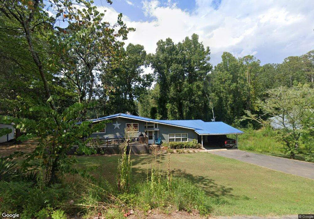
710 David St Centre, AL 35960
Estimated Value: $202,000 - $229,000
3
Beds
3
Baths
1,950
Sq Ft
$111/Sq Ft
Est. Value
About This Home
This home is located at 710 David St, Centre, AL 35960 and is currently estimated at $215,901, approximately $110 per square foot. 710 David St is a home located in Cherokee County with nearby schools including Cherokee County High School.
Ownership History
Date
Name
Owned For
Owner Type
Purchase Details
Closed on
Jan 6, 2020
Sold by
Hawkins Tony S
Bought by
Hawkins Christina M
Current Estimated Value
Purchase Details
Closed on
Oct 27, 2011
Sold by
Graham John Larry and Sisco Cindy Graham
Bought by
Hawkins Tony S and Hawkins Christina M
Home Financials for this Owner
Home Financials are based on the most recent Mortgage that was taken out on this home.
Original Mortgage
$94,541
Interest Rate
3.75%
Mortgage Type
FHA
Purchase Details
Closed on
Nov 20, 2006
Sold by
Graham John Berry
Bought by
Grahm John Larry and Sisco Cindy Gr
Create a Home Valuation Report for This Property
The Home Valuation Report is an in-depth analysis detailing your home's value as well as a comparison with similar homes in the area
Home Values in the Area
Average Home Value in this Area
Purchase History
| Date | Buyer | Sale Price | Title Company |
|---|---|---|---|
| Hawkins Christina M | $132,700 | None Available | |
| Hawkins Tony S | -- | -- | |
| Grahm John Larry | -- | -- |
Source: Public Records
Mortgage History
| Date | Status | Borrower | Loan Amount |
|---|---|---|---|
| Previous Owner | Hawkins Tony S | $94,541 |
Source: Public Records
Tax History
| Year | Tax Paid | Tax Assessment Tax Assessment Total Assessment is a certain percentage of the fair market value that is determined by local assessors to be the total taxable value of land and additions on the property. | Land | Improvement |
|---|---|---|---|---|
| 2025 | $833 | $15,700 | $1,100 | $14,600 |
| 2024 | $833 | $15,700 | $1,100 | $14,600 |
| 2023 | $833 | $18,860 | $0 | $0 |
| 2022 | $833 | $4,260 | $1,100 | $3,160 |
| 2021 | $573 | $1,540 | $1,000 | $540 |
| 2020 | $0 | $1,540 | $1,000 | $540 |
| 2019 | $0 | $1,540 | $1,000 | $540 |
| 2018 | $0 | $12,580 | $0 | $0 |
| 2017 | $446 | $106,160 | $0 | $0 |
| 2016 | $431 | $102,940 | $0 | $0 |
| 2015 | $967 | $102,940 | $0 | $0 |
| 2014 | $941 | $100,140 | $0 | $0 |
| 2013 | $941 | $100,140 | $0 | $0 |
Source: Public Records
Map
Nearby Homes
- 100 Sunset Dr
- 100 Sunset Dr Unit LOT 2,3
- 1016 Woodland St
- 2150 W Main St
- Lot 1 Pratt St
- 0 Cherokee Ave Unit 26554110
- Lot 5 Tol St
- Lot 11 Tol St
- Lot 6 Tol St
- Lot 10 Tol St
- 307 King St
- 303 Auburn St
- 202 Iris Dr
- 9405 Highway 411
- 300 Hill Rd
- NA Chesnut Bypass
- 112 Park St
- 307 Ray St
- 0 Ray St
- Al Highway 9
- 955 2nd Ave W
- 201 Pine Hill Dr
- 700 David St
- 976 David St
- 625 David St
- 975 David St
- LT 2nd Ave
- 975 2nd Ave W
- 210 Pine Hill Dr
- 211 Pine Hill Dr
- 1075 S Watson Dr
- 1149 S Watson Dr
- 101 Mountain View Dr
- 01 Pine Hill Dr
- 201 Mountain View Dr
- 210 Cardon St
- 675 Mcspadden Cir
- 1025 S Watson Dr
- 621 Mcspadden Cir
- 206 Pine Hill Dr
Your Personal Tour Guide
Ask me questions while you tour the home.