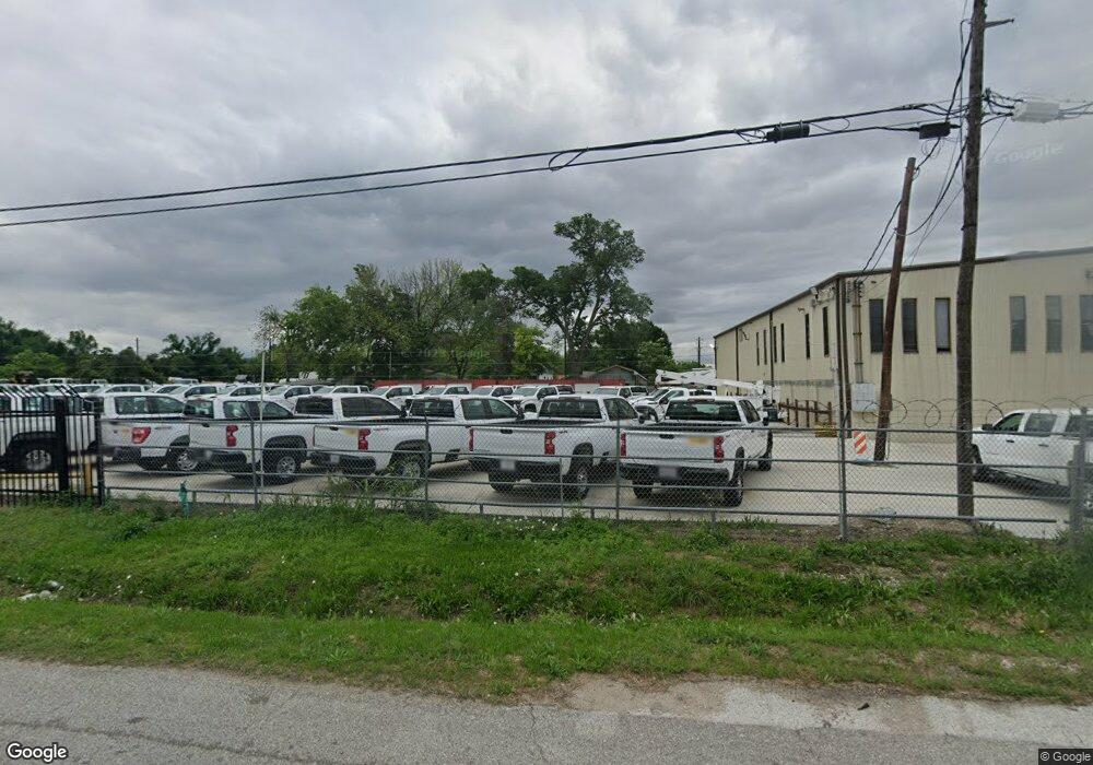
710 Dillard St Houston, TX 77091
Acres Homes Neighborhood
2
Beds
1
Bath
1,161
Sq Ft
7,536
Sq Ft Lot
About This Home
This home is located at 710 Dillard St, Houston, TX 77091. 710 Dillard St is a home located in Harris County with nearby schools including Wesley Elementary School, Williams Middle, and Booker T Washington Sr High.
Ownership History
Date
Name
Owned For
Owner Type
Purchase Details
Closed on
Aug 22, 2011
Sold by
Mcclure Shirley K and Mcclure Shirley F
Bought by
Champion Rentals Inc
Purchase Details
Closed on
May 17, 1996
Sold by
Burch Marvin F and Bongio Marvin F
Bought by
Moore Latonya E
Home Financials for this Owner
Home Financials are based on the most recent Mortgage that was taken out on this home.
Original Mortgage
$5,000
Interest Rate
7.74%
Mortgage Type
Seller Take Back
Create a Home Valuation Report for This Property
The Home Valuation Report is an in-depth analysis detailing your home's value as well as a comparison with similar homes in the area
Home Values in the Area
Average Home Value in this Area
Purchase History
| Date | Buyer | Sale Price | Title Company |
|---|---|---|---|
| Champion Rentals Inc | -- | First American Title Company | |
| Moore Latonya E | -- | Houston Title |
Source: Public Records
Mortgage History
| Date | Status | Borrower | Loan Amount |
|---|---|---|---|
| Previous Owner | Moore Latonya E | $5,000 |
Source: Public Records
Tax History Compared to Growth
Tax History
| Year | Tax Paid | Tax Assessment Tax Assessment Total Assessment is a certain percentage of the fair market value that is determined by local assessors to be the total taxable value of land and additions on the property. | Land | Improvement |
|---|---|---|---|---|
| 2025 | $2,575 | $122,500 | $90,600 | $31,900 |
| 2024 | $2,575 | $123,064 | $90,600 | $32,464 |
| 2023 | $2,575 | $124,173 | $90,600 | $33,573 |
| 2022 | $2,321 | $105,392 | $75,500 | $29,892 |
| 2021 | $1,561 | $66,958 | $60,400 | $6,558 |
| 2020 | $1,242 | $51,289 | $45,300 | $5,989 |
| 2019 | $1,304 | $51,545 | $45,300 | $6,245 |
| 2018 | $451 | $17,827 | $11,325 | $6,502 |
| 2017 | $362 | $14,309 | $7,550 | $6,759 |
| 2016 | $370 | $14,628 | $7,550 | $7,078 |
| 2015 | $389 | $14,910 | $7,550 | $7,360 |
| 2014 | $389 | $15,125 | $7,550 | $7,575 |
Source: Public Records
Map
Nearby Homes
- 715 W Rittenhouse Rd
- 824 W Rittenhouse St
- 859 W Rittenhouse St
- 747 W Rittenhouse Rd
- 6315 N Shepherd Dr
- 775 Rittenhouse St
- 5736 Stuebner Airline Rd
- 740 Millville Dr
- 748 Millville Dr
- 7014 De Priest St
- 0 Lovers Ln Unit 36585920
- 741 Granville Dr
- 6220 De Priest St
- 862 Granville Dr
- 814 Granville Dr
- 609 W Parker Rd
- 0 De Priest St Unit 66567963
- 778 Pickering St
- 833 Rosie St
- 0 Pickering St
- 711 Granville Dr
- 713 Granville Dr
- 715 Granville Dr
- 717 Granville Dr
- 732 Dillard St
- 725 Dillard St
- 736 Dillard St
- 716 Granville Dr
- 737 Dillard St
- 733 Granville Dr
- 709 W Rittenhouse St
- 735 Granville Dr
- 709 W Rittenhouse Rd
- 719 W Rittenhouse Rd
- 723 W Rittenhouse Rd
- 651 Dillard St Unit 1
- 739 Granville Dr
- 756 Dillard St
- 757 Dillard St
- 647 Dillard St
