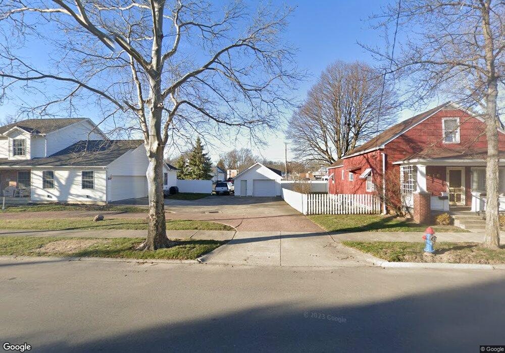
710 E 6th St Marysville, OH 43040
Estimated Value: $90,058 - $278,000
--
Bed
--
Bath
--
Sq Ft
10,411
Sq Ft Lot
About This Home
This home is located at 710 E 6th St, Marysville, OH 43040 and is currently estimated at $173,015. 710 E 6th St is a home with nearby schools including Northwood Elementary School, Creekview Intermediate Elementary School, and Bunsold Middle School.
Ownership History
Date
Name
Owned For
Owner Type
Purchase Details
Closed on
Jun 13, 2001
Sold by
Fuson Robert W
Bought by
Underwood Scott D and Underwood Holly J
Current Estimated Value
Home Financials for this Owner
Home Financials are based on the most recent Mortgage that was taken out on this home.
Original Mortgage
$58,000
Outstanding Balance
$22,126
Interest Rate
7.16%
Mortgage Type
New Conventional
Estimated Equity
$150,889
Purchase Details
Closed on
Jun 26, 1996
Sold by
Wolgamott Rick A
Bought by
Fuson Robert W and Fuson Melissa A
Home Financials for this Owner
Home Financials are based on the most recent Mortgage that was taken out on this home.
Original Mortgage
$56,480
Interest Rate
9.25%
Mortgage Type
New Conventional
Create a Home Valuation Report for This Property
The Home Valuation Report is an in-depth analysis detailing your home's value as well as a comparison with similar homes in the area
Home Values in the Area
Average Home Value in this Area
Purchase History
| Date | Buyer | Sale Price | Title Company |
|---|---|---|---|
| Underwood Scott D | $72,500 | -- | |
| Fuson Robert W | $60,300 | -- |
Source: Public Records
Mortgage History
| Date | Status | Borrower | Loan Amount |
|---|---|---|---|
| Open | Underwood Scott D | $58,000 | |
| Previous Owner | Fuson Robert W | $56,480 |
Source: Public Records
Tax History Compared to Growth
Tax History
| Year | Tax Paid | Tax Assessment Tax Assessment Total Assessment is a certain percentage of the fair market value that is determined by local assessors to be the total taxable value of land and additions on the property. | Land | Improvement |
|---|---|---|---|---|
| 2024 | $524 | $12,250 | $11,250 | $1,000 |
| 2023 | $524 | $12,250 | $11,250 | $1,000 |
| 2022 | $515 | $12,250 | $11,250 | $1,000 |
| 2021 | $453 | $9,430 | $8,660 | $770 |
| 2020 | $453 | $9,430 | $8,660 | $770 |
| 2019 | $458 | $9,430 | $8,660 | $770 |
| 2018 | $506 | $9,700 | $8,660 | $1,040 |
| 2017 | $496 | $9,700 | $8,660 | $1,040 |
| 2016 | $494 | $9,700 | $8,660 | $1,040 |
| 2015 | $529 | $9,720 | $8,660 | $1,060 |
| 2014 | $529 | $9,720 | $8,660 | $1,060 |
| 2013 | $499 | $9,720 | $8,660 | $1,060 |
Source: Public Records
Map
Nearby Homes
- 627 E 6th St
- 125 S Oak St
- 226 S Plum St
- 569 E 10th St Unit 1A
- 0 Columbus Ave
- 203 W 3rd St
- 448 Professional Pkwy
- 158C Tulip Dr
- 260 W 4th St
- 256 W 3rd St
- 78 Aspen Dr
- 525 Ash St
- 0 Square Dr
- 718 N Main St
- 226 Elwood Ave
- 651 Millcrest Dr Unit 651A
- 15760 Watkins Rd
- 733 N Maple St
- Wesley Plan at Adena Pointe - Maple Street Collection
- Jensen Plan at Adena Pointe - Maple Street Collection