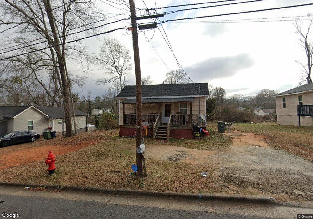
710 Lane St Griffin, GA 30223
Spalding County NeighborhoodEstimated Value: $82,000 - $190,000
2
Beds
1
Bath
728
Sq Ft
$157/Sq Ft
Est. Value
About This Home
This home is located at 710 Lane St, Griffin, GA 30223 and is currently estimated at $114,385, approximately $157 per square foot. 710 Lane St is a home located in Spalding County with nearby schools including Moore Elementary School, Kennedy Road Middle School, and Griffin High School.
Ownership History
Date
Name
Owned For
Owner Type
Purchase Details
Closed on
Dec 28, 2017
Sold by
Foster Roscoe Lewis
Bought by
Martlet Enterprises Llc
Current Estimated Value
Home Financials for this Owner
Home Financials are based on the most recent Mortgage that was taken out on this home.
Original Mortgage
$28,000
Interest Rate
3.9%
Mortgage Type
Purchase Money Mortgage
Purchase Details
Closed on
Sep 12, 1989
Sold by
Baird D M
Bought by
Baird Allyne H
Purchase Details
Closed on
Jun 1, 1987
Sold by
Baird Allyne H
Bought by
Baird D M
Purchase Details
Closed on
Mar 1, 1973
Sold by
Mixon F Q
Bought by
Baird Allyne H
Create a Home Valuation Report for This Property
The Home Valuation Report is an in-depth analysis detailing your home's value as well as a comparison with similar homes in the area
Home Values in the Area
Average Home Value in this Area
Purchase History
| Date | Buyer | Sale Price | Title Company |
|---|---|---|---|
| Martlet Enterprises Llc | $33,000 | -- | |
| Baird Allyne H | -- | -- | |
| Baird D M | -- | -- | |
| Baird Allyne H | $9,300 | -- |
Source: Public Records
Mortgage History
| Date | Status | Borrower | Loan Amount |
|---|---|---|---|
| Closed | Martlet Enterprises Llc | $28,000 |
Source: Public Records
Tax History Compared to Growth
Tax History
| Year | Tax Paid | Tax Assessment Tax Assessment Total Assessment is a certain percentage of the fair market value that is determined by local assessors to be the total taxable value of land and additions on the property. | Land | Improvement |
|---|---|---|---|---|
| 2024 | $861 | $22,321 | $3,840 | $18,481 |
| 2023 | $874 | $21,864 | $3,840 | $18,024 |
| 2022 | $768 | $19,226 | $2,400 | $16,826 |
| 2021 | $492 | $12,320 | $2,400 | $9,920 |
| 2020 | $492 | $12,320 | $2,400 | $9,920 |
| 2019 | $501 | $12,320 | $2,400 | $9,920 |
| 2018 | $480 | $11,370 | $2,400 | $8,970 |
| 2017 | $239 | $5,771 | $2,400 | $3,371 |
| 2016 | $242 | $5,771 | $2,400 | $3,371 |
| 2015 | $246 | $5,771 | $2,400 | $3,371 |
| 2014 | $254 | $5,771 | $2,400 | $3,371 |
Source: Public Records
Map
Nearby Homes
- 135 Alabama St
- 607 Lane St
- 606 N 9th St
- 554 N 8th St
- 117 Thurman St
- 546 N 8th St
- 3939 Georgia Highway 3 Old Atl Rd
- 122 W Lexington Ave
- 133 W Lexington Ave
- 514 Lane St
- 125 W Lexington Ave
- 112 W Lexington Ave
- 101 Behan Place
- 435 W Cherry St
- 441 W Cherry St
- 566 N 13th St
- 818 Haskell Ward Dr
- N 9 St
- 106 E Cherry St
- 102 E Cherry St