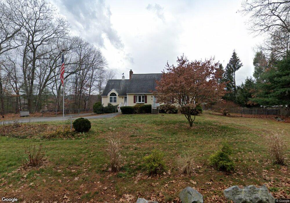
710 Lowell St Methuen, MA 01844
The West End NeighborhoodEstimated Value: $629,000 - $699,357
2
Beds
2
Baths
2,175
Sq Ft
$305/Sq Ft
Est. Value
About This Home
This home is located at 710 Lowell St, Methuen, MA 01844 and is currently estimated at $663,839, approximately $305 per square foot. 710 Lowell St is a home located in Essex County with nearby schools including Tenney Grammar School, Methuen High School, and The Islamic Academy For Peace.
Ownership History
Date
Name
Owned For
Owner Type
Purchase Details
Closed on
Nov 25, 2019
Sold by
710 Lowell Street Rt
Bought by
Norcross & Fox Ft
Current Estimated Value
Purchase Details
Closed on
May 18, 1995
Sold by
Norcross Sharon
Bought by
Norcross Christopher
Home Financials for this Owner
Home Financials are based on the most recent Mortgage that was taken out on this home.
Original Mortgage
$77,885
Interest Rate
7.84%
Create a Home Valuation Report for This Property
The Home Valuation Report is an in-depth analysis detailing your home's value as well as a comparison with similar homes in the area
Home Values in the Area
Average Home Value in this Area
Purchase History
| Date | Buyer | Sale Price | Title Company |
|---|---|---|---|
| Norcross & Fox Ft | -- | None Available | |
| Norcross Christopher | $26,250 | -- |
Source: Public Records
Mortgage History
| Date | Status | Borrower | Loan Amount |
|---|---|---|---|
| Previous Owner | Norcross Christopher | $77,885 | |
| Previous Owner | Norcross Christopher | $5,250 |
Source: Public Records
Tax History Compared to Growth
Tax History
| Year | Tax Paid | Tax Assessment Tax Assessment Total Assessment is a certain percentage of the fair market value that is determined by local assessors to be the total taxable value of land and additions on the property. | Land | Improvement |
|---|---|---|---|---|
| 2025 | $6,646 | $628,200 | $277,300 | $350,900 |
| 2024 | $6,456 | $594,500 | $231,700 | $362,800 |
| 2023 | $6,310 | $539,300 | $231,500 | $307,800 |
| 2022 | $5,914 | $453,200 | $190,100 | $263,100 |
| 2021 | $5,606 | $425,000 | $179,800 | $245,200 |
| 2020 | $5,617 | $417,900 | $179,800 | $238,100 |
| 2019 | $5,555 | $391,500 | $169,400 | $222,100 |
| 2018 | $5,281 | $370,100 | $159,000 | $211,100 |
| 2017 | $5,097 | $347,900 | $159,000 | $188,900 |
| 2016 | $4,573 | $308,800 | $138,300 | $170,500 |
| 2015 | $4,374 | $299,600 | $138,300 | $161,300 |
Source: Public Records
Map
Nearby Homes
- 72 Sherwood Dr Unit 72
- 8 Hopkins Cir Unit 8
- 71 Lowell Blvd
- 44 Hopkins Cir Unit 44
- 8 Cobblestone Ln
- 2 Nollet Dr
- 12 Hayfield Rd
- 17 Boutwell Rd
- 492 Lowell St
- 9 Cart Path Rd
- 2 Sugar Hill Cir
- 73 N Lowell St
- 14 Youngfarm Rd
- 34 Tyler St
- 24 N Lowell St
- 14 Freeport Ave
- 701 Brookside Dr
- 100 Salem Rd
- 38 Butternut Ln
- 195 Haggetts Pond Rd
- 720 Lowell St
- 722 Lowell St
- 25 Lowell Blvd
- 715 Lowell St
- 22 Lowell Blvd
- 724 Lowell St
- 18 Lowell Blvd
- 24 Lowell Blvd
- 709 Lowell St
- 709 Lowell St Unit 1
- 726 Lowell St
- 728 Lowell St
- 40 Lowell Blvd
- 770 Lowell St
- 50 Lowell Blvd
- 67 Lowell Blvd
- 33 Armory St
- 778 Lowell St
- 58 Lowell Blvd
- 687 Lowell St Unit 3a