710 Main St Somerset, MA 02726
Somerset Historic Village NeighborhoodEstimated Value: $547,655 - $634,000
9
Beds
4
Baths
2,470
Sq Ft
$237/Sq Ft
Est. Value
About This Home
This home is located at 710 Main St, Somerset, MA 02726 and is currently estimated at $585,914, approximately $237 per square foot. 710 Main St is a home located in Bristol County with nearby schools including North Elementary School and Somerset Middle School.
Ownership History
Date
Name
Owned For
Owner Type
Purchase Details
Closed on
May 31, 1996
Sold by
Martin Robert and Martin Joanne
Bought by
Doyle Donald
Current Estimated Value
Home Financials for this Owner
Home Financials are based on the most recent Mortgage that was taken out on this home.
Original Mortgage
$133,000
Outstanding Balance
$8,428
Interest Rate
7.91%
Mortgage Type
Purchase Money Mortgage
Estimated Equity
$577,486
Create a Home Valuation Report for This Property
The Home Valuation Report is an in-depth analysis detailing your home's value as well as a comparison with similar homes in the area
Home Values in the Area
Average Home Value in this Area
Purchase History
| Date | Buyer | Sale Price | Title Company |
|---|---|---|---|
| Doyle Donald | $140,000 | -- | |
| Doyle Donald | $140,000 | -- |
Source: Public Records
Mortgage History
| Date | Status | Borrower | Loan Amount |
|---|---|---|---|
| Open | Doyle Donald | $6,329 | |
| Open | Doyle Donald | $133,000 | |
| Closed | Doyle Donald | $133,000 |
Source: Public Records
Tax History
| Year | Tax Paid | Tax Assessment Tax Assessment Total Assessment is a certain percentage of the fair market value that is determined by local assessors to be the total taxable value of land and additions on the property. | Land | Improvement |
|---|---|---|---|---|
| 2025 | $6,137 | $461,400 | $183,300 | $278,100 |
| 2024 | $5,509 | $430,700 | $183,300 | $247,400 |
| 2023 | $5,192 | $409,500 | $166,400 | $243,100 |
| 2022 | $4,982 | $374,900 | $143,600 | $231,300 |
| 2021 | $5,021 | $342,000 | $129,800 | $212,200 |
| 2020 | $4,811 | $316,100 | $129,800 | $186,300 |
| 2019 | $5,595 | $306,600 | $129,800 | $176,800 |
| 2018 | $4,689 | $276,500 | $125,000 | $151,500 |
| 2017 | $4,609 | $264,900 | $125,000 | $139,900 |
| 2016 | $4,638 | $264,900 | $125,000 | $139,900 |
| 2015 | $4,530 | $261,100 | $117,600 | $143,500 |
| 2014 | $5,958 | $246,700 | $112,200 | $134,500 |
Source: Public Records
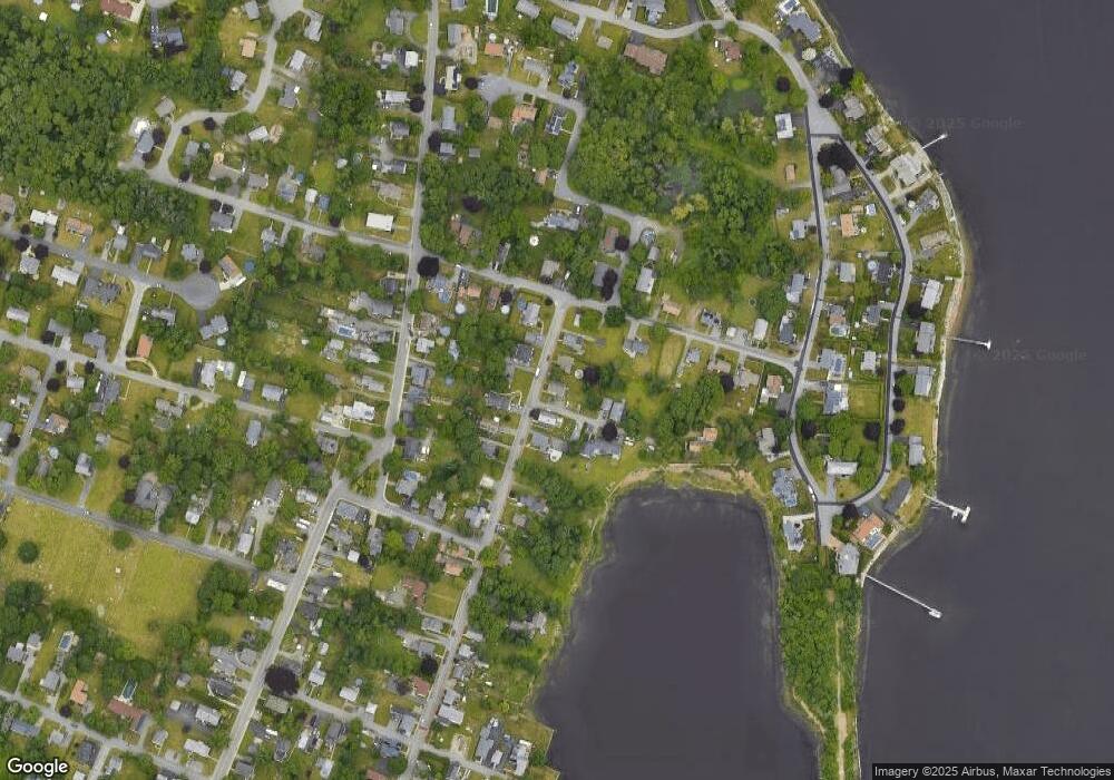
Map
Nearby Homes
- 0 Palmer St
- 560 North St
- 26 Massachusetts Ave
- 3076 County St
- 5455 N Main St Unit 2C
- 107 Manchester Ave
- 22 Apple Creek Ln
- 69 Denham Ave
- 58 Oregon Ave
- 4234 N Main St Unit 103
- 65 Marvel St
- 2798 Elm St
- 171 Marvel St
- 3853 N Main St
- 47 Narrows Rd
- 81 Wood St
- 6 Jessie Ln
- 4 Narrows Rd
- 2714 Riverside Ave
- 35 Water St
- 720 Main St
- 688 Main St
- 688 Main St Unit 2
- 732 Main St
- 678 Main St
- 719 Main St Unit 3
- 719 Main St
- 42 Simms Ave
- 45 Simms Ave
- 695 Main St
- 681 Main St
- 717 Main St Unit 1
- 717 Main St Unit 2
- 717 Main St
- 145 Old Colony Ave
- 735 Main St
- 646 Main St
- 233 Old Colony Ave
- 218-220 Old Colony Ave Unit 202
- 218-220 Old Colony Ave