710 N Laurel St Walhalla, SC 29691
Estimated Value: $469,000 - $720,000
--
Bed
6
Baths
2,112
Sq Ft
$281/Sq Ft
Est. Value
About This Home
This home is located at 710 N Laurel St, Walhalla, SC 29691 and is currently estimated at $592,667, approximately $280 per square foot. 710 N Laurel St is a home with nearby schools including Walhalla Elementary School, Walhalla Middle School, and Walhalla High School.
Ownership History
Date
Name
Owned For
Owner Type
Purchase Details
Closed on
Sep 10, 2014
Sold by
Turpin Samuel M and Turpin Gena Sykes
Bought by
Connally Alice
Current Estimated Value
Home Financials for this Owner
Home Financials are based on the most recent Mortgage that was taken out on this home.
Original Mortgage
$150,000
Interest Rate
4.19%
Mortgage Type
Seller Take Back
Purchase Details
Closed on
Jun 2, 2011
Sold by
Turpin Linda D
Bought by
Macmacturpin Samuel Mac
Create a Home Valuation Report for This Property
The Home Valuation Report is an in-depth analysis detailing your home's value as well as a comparison with similar homes in the area
Home Values in the Area
Average Home Value in this Area
Purchase History
| Date | Buyer | Sale Price | Title Company |
|---|---|---|---|
| Connally Alice | $160,000 | -- | |
| Macmacturpin Samuel Mac | -- | -- |
Source: Public Records
Mortgage History
| Date | Status | Borrower | Loan Amount |
|---|---|---|---|
| Closed | Connally Alice | $150,000 |
Source: Public Records
Tax History
| Year | Tax Paid | Tax Assessment Tax Assessment Total Assessment is a certain percentage of the fair market value that is determined by local assessors to be the total taxable value of land and additions on the property. | Land | Improvement |
|---|---|---|---|---|
| 2025 | $944 | $14,347 | $4,140 | $10,207 |
| 2024 | $944 | $14,347 | $4,140 | $10,207 |
| 2023 | $956 | $14,347 | $4,140 | $10,207 |
| 2022 | $956 | $14,347 | $4,140 | $10,207 |
| 2021 | $1,150 | $13,691 | $4,030 | $9,661 |
| 2020 | $1,150 | $0 | $0 | $0 |
| 2019 | $1,150 | $0 | $0 | $0 |
| 2018 | $5,865 | $0 | $0 | $0 |
| 2017 | $13 | $0 | $0 | $0 |
| 2016 | $13 | $0 | $0 | $0 |
| 2015 | -- | $0 | $0 | $0 |
| 2014 | -- | $3,338 | $3,338 | $0 |
| 2013 | -- | $0 | $0 | $0 |
Source: Public Records
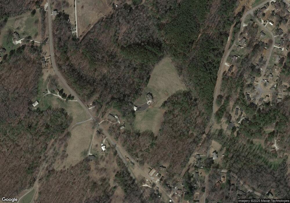
Map
Nearby Homes
- 606 N Poplar St
- 223 N Dogwood Dr
- Tract B Bobolink Dr
- 101 Hazelwood Way
- 308 Wildwood Rd
- 384 E Woodland Dr
- 00 N Church St
- 804 W North Broad St
- 00 Abbott Ln
- 00 W North Broad St
- 324 Fox Run Rd
- 221 Cub Cove Dr
- 00 Fox Run Rd
- 323 Fox Run Rd
- Lot 57 Fox Run Rd
- 107 S Laurel St
- 109 S Laurel St
- 229 Cub Cove Dr
- 606 W South Broad St
- 147 White Oak St
- 706 N Laurel St
- 714 N Laurel St
- LOT 24 N Laurel St
- Lot 14 & 23 N Laurel St
- 180 Lighthouse Rd
- 630 N Poplar St
- 707 N Laurel St
- 181 Lighthouse Rd
- 636 N Poplar St
- 605 N Poplar St
- 616 N Poplar St
- 622 N Poplar St
- 22 Bluebird Ct
- 54 Kristen Dr
- 372 Blazer Trail
- 719 N Laurel St
- 148 Meadowlark Dr Unit Lot 20
- 148 Meadowlark Dr
- 132 Lighthouse Rd
- 642 N Poplar St
Your Personal Tour Guide
Ask me questions while you tour the home.