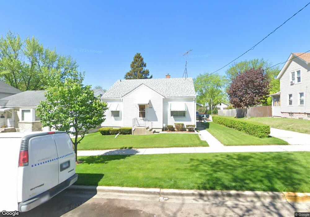
710 N Root St Aurora, IL 60505
Pigeon Hill NeighborhoodEstimated Value: $214,553 - $255,000
2
Beds
1
Bath
1,016
Sq Ft
$232/Sq Ft
Est. Value
About This Home
This home is located at 710 N Root St, Aurora, IL 60505 and is currently estimated at $236,138, approximately $232 per square foot. 710 N Root St is a home located in Kane County with nearby schools including Nicholas A Hermes Elementary School, Simmons Middle School, and East Aurora High School.
Ownership History
Date
Name
Owned For
Owner Type
Purchase Details
Closed on
Nov 15, 2021
Sold by
Frantzen Terrace W and Frantzen Mary Ann
Bought by
Frantzen Terrance W and Frantzen Mary Ann
Current Estimated Value
Purchase Details
Closed on
Apr 20, 2015
Sold by
Frantzen Mary Ann and Desotell Katherine M
Bought by
Frantzen Mary Ann and Desotell Katherine M
Purchase Details
Closed on
Oct 26, 2010
Sold by
Desotell Albert W
Bought by
Desotell Albert W and Albert W De Sotell Trust
Create a Home Valuation Report for This Property
The Home Valuation Report is an in-depth analysis detailing your home's value as well as a comparison with similar homes in the area
Home Values in the Area
Average Home Value in this Area
Purchase History
| Date | Buyer | Sale Price | Title Company |
|---|---|---|---|
| Frantzen Terrance W | -- | None Available | |
| Frantzen Mary Ann | -- | None Available | |
| Desotell Albert W | -- | None Available |
Source: Public Records
Tax History
| Year | Tax Paid | Tax Assessment Tax Assessment Total Assessment is a certain percentage of the fair market value that is determined by local assessors to be the total taxable value of land and additions on the property. | Land | Improvement |
|---|---|---|---|---|
| 2024 | $3,781 | $55,151 | $7,238 | $47,913 |
| 2023 | $3,682 | $49,277 | $6,467 | $42,810 |
| 2022 | $3,416 | $44,961 | $5,901 | $39,060 |
| 2021 | $3,379 | $41,859 | $5,494 | $36,365 |
| 2020 | $3,234 | $38,881 | $5,103 | $33,778 |
| 2019 | $3,224 | $36,588 | $4,728 | $31,860 |
| 2018 | $3,217 | $35,329 | $4,373 | $30,956 |
| 2017 | $3,129 | $31,907 | $4,029 | $27,878 |
| 2016 | $3,352 | $31,854 | $4,064 | $27,790 |
| 2015 | -- | $27,821 | $3,495 | $24,326 |
| 2014 | -- | $26,608 | $3,212 | $23,396 |
| 2013 | -- | $27,468 | $3,611 | $23,857 |
Source: Public Records
Map
Nearby Homes
- 689 N Lincoln Ave
- 773 Aurora Ave
- 304 Hankes Ave
- 1009 Assell Ave
- 608 Front St
- 747 Delius St
- 14-18 N Lake St
- 461 Wood St
- 231-233 Williams St
- 971 Solfisburg Ave
- 1220 Mitchell Rd
- 907 Harley Ct
- 1123 Front St
- 338 Lakelawn Blvd
- 357 W Park Ave
- 222 Grand Ave
- 418 W Illinois Ave
- 388 Manor Place
- 371 Cedar St
- 519 N View St
- 704 N Root St
- 716 N Root St
- 312 E Illinois Ave
- 700 N Root St
- 720 N Root St
- 308 E Illinois Ave
- 709 N Root St
- 402 E Illinois Ave
- 724 N Root St
- 717 N Lincoln Ave
- 711 N Lincoln Ave
- 304 E Illinois Ave
- 721 N Lincoln Ave
- 728 N Root St
- 725 N Lincoln Ave
- 323 E Illinois Ave
- 311 E Illinois Ave
- 327 E Illinois Ave
- 305 E Illinois Ave
Your Personal Tour Guide
Ask me questions while you tour the home.