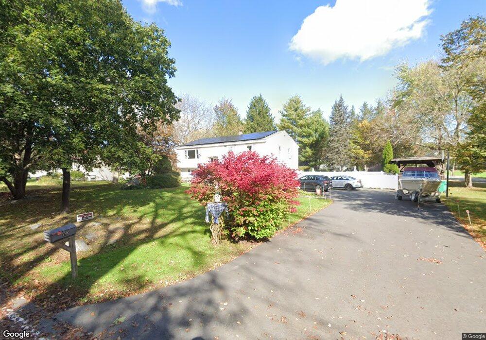
710 Packard St Lancaster, MA 01523
Estimated Value: $602,000 - $784,000
4
Beds
2
Baths
3,500
Sq Ft
$200/Sq Ft
Est. Value
About This Home
This home is located at 710 Packard St, Lancaster, MA 01523 and is currently estimated at $699,905, approximately $199 per square foot. 710 Packard St is a home located in Worcester County with nearby schools including Mary Rowlandson Elementary School, Luther Burbank Middle School, and Nashoba Regional High School.
Ownership History
Date
Name
Owned For
Owner Type
Purchase Details
Closed on
Jun 3, 1998
Sold by
Zalenak William and Drinkwater Linda M
Bought by
Bearce Charles L and Bearce Vicky Lynn
Current Estimated Value
Purchase Details
Closed on
Jun 21, 1994
Sold by
Jacobson William A and Shawmut Bank
Bought by
Zelenak William and Drinkwater Linda
Create a Home Valuation Report for This Property
The Home Valuation Report is an in-depth analysis detailing your home's value as well as a comparison with similar homes in the area
Home Values in the Area
Average Home Value in this Area
Purchase History
| Date | Buyer | Sale Price | Title Company |
|---|---|---|---|
| Bearce Charles L | $197,000 | -- | |
| Zelenak William | $115,000 | -- |
Source: Public Records
Mortgage History
| Date | Status | Borrower | Loan Amount |
|---|---|---|---|
| Open | Zelenak William | $125,000 | |
| Closed | Zelenak William | $123,000 |
Source: Public Records
Tax History
| Year | Tax Paid | Tax Assessment Tax Assessment Total Assessment is a certain percentage of the fair market value that is determined by local assessors to be the total taxable value of land and additions on the property. | Land | Improvement |
|---|---|---|---|---|
| 2025 | $8,966 | $554,800 | $107,800 | $447,000 |
| 2024 | $9,177 | $525,600 | $100,300 | $425,300 |
| 2023 | $8,829 | $513,600 | $91,200 | $422,400 |
| 2022 | $8,266 | $425,000 | $94,400 | $330,600 |
| 2021 | $7,836 | $392,200 | $94,400 | $297,800 |
| 2020 | $8,369 | $421,600 | $94,500 | $327,100 |
| 2019 | $7,343 | $371,800 | $94,500 | $277,300 |
| 2018 | $6,973 | $349,000 | $94,500 | $254,500 |
| 2016 | $6,436 | $329,200 | $93,600 | $235,600 |
| 2015 | $6,219 | $331,500 | $93,600 | $237,900 |
| 2014 | $5,820 | $307,800 | $93,600 | $214,200 |
Source: Public Records
Map
Nearby Homes
- 144 Seven Bridge Rd
- 0 Main St
- 132 Kilbourn Rd
- 18 Highfield Dr
- 73 Prescott St
- 92 Mill St
- 40 Forbush Mill Rd
- 12 Woodruff Rd
- 920 Ridgefield Cir Unit C
- 610 Ridgefield Cir Unit B
- 46 Woodruff Rd
- 308 Ridgefield Cir Unit C
- 0 Parker Rd
- 114 Oak Trail
- 2038-1 Laurel Hill Ln
- 2038 Laurel Hill Ln Unit LOT 18
- 93 Vaughn Hill Rd
- 295 Vaughn Hill Rd
- 1116 George Hill Rd
- 508 High St
Your Personal Tour Guide
Ask me questions while you tour the home.