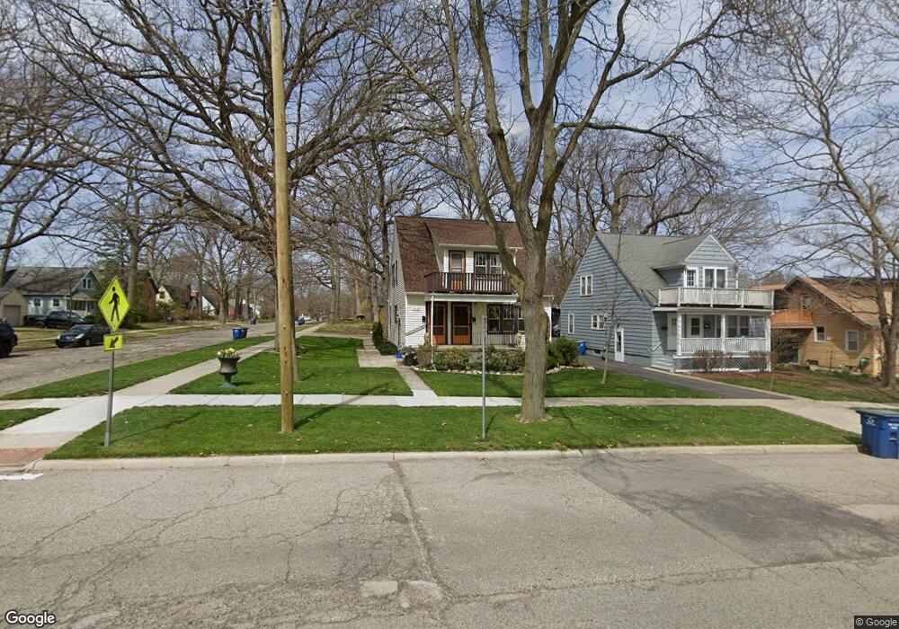
710 Pauline Blvd Ann Arbor, MI 48103
Old West Side NeighborhoodEstimated Value: $578,000 - $679,000
4
Beds
2
Baths
1,566
Sq Ft
$388/Sq Ft
Est. Value
About This Home
This home is located at 710 Pauline Blvd, Ann Arbor, MI 48103 and is currently estimated at $607,670, approximately $388 per square foot. 710 Pauline Blvd is a home located in Washtenaw County with nearby schools including Bach Elementary School, Slauson Middle School, and Pioneer High School.
Ownership History
Date
Name
Owned For
Owner Type
Purchase Details
Closed on
May 31, 2017
Sold by
Petersen Elmer A
Bought by
Hammer Aaron J
Current Estimated Value
Home Financials for this Owner
Home Financials are based on the most recent Mortgage that was taken out on this home.
Original Mortgage
$264,000
Interest Rate
3.9%
Mortgage Type
New Conventional
Create a Home Valuation Report for This Property
The Home Valuation Report is an in-depth analysis detailing your home's value as well as a comparison with similar homes in the area
Home Values in the Area
Average Home Value in this Area
Purchase History
| Date | Buyer | Sale Price | Title Company |
|---|---|---|---|
| Hammer Aaron J | $330,000 | None Available |
Source: Public Records
Mortgage History
| Date | Status | Borrower | Loan Amount |
|---|---|---|---|
| Previous Owner | Hammer Aaron J | $264,000 |
Source: Public Records
Tax History Compared to Growth
Tax History
| Year | Tax Paid | Tax Assessment Tax Assessment Total Assessment is a certain percentage of the fair market value that is determined by local assessors to be the total taxable value of land and additions on the property. | Land | Improvement |
|---|---|---|---|---|
| 2025 | $10,618 | $273,100 | $0 | $0 |
| 2024 | $10,340 | $239,300 | $0 | $0 |
| 2023 | $9,542 | $224,400 | $0 | $0 |
| 2022 | $11,020 | $209,700 | $0 | $0 |
| 2021 | $10,731 | $204,900 | $0 | $0 |
| 2020 | $10,446 | $205,800 | $0 | $0 |
| 2019 | $9,954 | $187,000 | $187,000 | $0 |
| 2018 | $9,787 | $172,000 | $0 | $0 |
| 2017 | $5,579 | $165,500 | $0 | $0 |
| 2016 | $4,522 | $98,303 | $0 | $0 |
| 2015 | $5,175 | $98,009 | $0 | $0 |
| 2014 | $5,175 | $94,947 | $0 | $0 |
| 2013 | -- | $94,947 | $0 | $0 |
Source: Public Records
Map
Nearby Homes
- 1134 Hutchins Ave
- 407 Pauline Blvd
- 1215 Prescott Ave
- 103 W Davis Ave
- 401 Berkley Ave
- 460 W Stadium Blvd
- 462 W Stadium Blvd
- 614 S 7th St
- 552 5th St
- 1435 Woodland Dr
- 220 W Mosley St
- 533 5th St
- 814 W Jefferson St
- 1524 Marian Ave
- 717 W Liberty St
- 441 S Ashley St Unit 405
- 140 Ashley Mews Dr Unit 27
- 1836 Virnankay Cir
- 1540 Westfield Ave
- 285 Mulholland St Unit 3
- 708 Pauline Blvd
- 1005 Hutchins Ave
- 706 Pauline Blvd
- 800 Pauline Blvd
- 0 Hutchins Ave
- 1003 Hutchins Ave
- 704 Pauline Blvd
- 806 Pauline Blvd
- 1004 Hutchins Ave
- 801 Pauline Blvd
- 1008 5th St
- 1001 Hutchins Ave
- 1002 5th St
- 700 Pauline Blvd
- 1002 Hutchins Ave
- 808 Pauline Blvd
- 915 Hutchins Ave
- 1000 Hutchins Ave
- 1000 5th St
- 0 Fifth St Unit 4010906