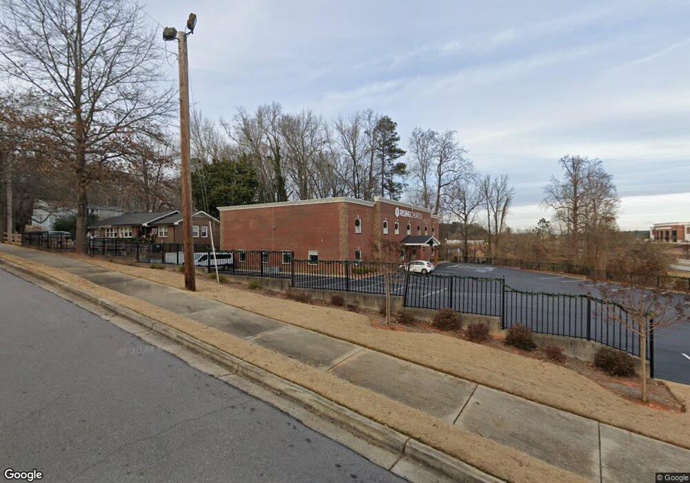
710 Power Ave Buford, GA 30518
Studio
--
Bath
13,144
Sq Ft
0.56
Acres Lot
About This Home
This home is located at 710 Power Ave, Buford, GA 30518. 710 Power Ave is a home located in Gwinnett County with nearby schools including Buford Elementary School, Buford Senior Academy, and Buford Academy.
Ownership History
We collect this data history from publicly available records. To have your information removed, we recommend requesting removal directly through your county’s website.
Date
Name
Owned For
Owner Type
Purchase Details
Closed on
Dec 20, 2024
Sold by
Bought by
Purchase Details
Closed on
Aug 14, 2020
Sold by
Bought by
Create a Home Valuation Report for This Property
The Home Valuation Report is an in-depth analysis detailing your home's value as well as a comparison with similar homes in the area
Home Values in the Area
Average Home Value in this Area
Purchase History
We collect this data history from publicly available records. To have your information removed, we recommend requesting removal directly through your county’s website.
| Date | Buyer | Sale Price | Title Company |
|---|---|---|---|
| -- | -- | ||
| -- | -- |
Source: Public Records
Tax History
We collect this data history from publicly available records. To have your information removed, we recommend requesting removal directly through your county’s website.
| Year | Tax Paid | Tax Assessment Tax Assessment Total Assessment is a certain percentage of the fair market value that is determined by local assessors to be the total taxable value of land and additions on the property. | Land | Improvement |
|---|---|---|---|---|
| 2025 | $1,059 | $73,800 | $61,480 | $12,320 |
| 2024 | $1,059 | $73,800 | $61,480 | $12,320 |
| 2023 | $1,059 | $128,920 | $117,080 | $11,840 |
| 2022 | $1,850 | $128,920 | $117,080 | $11,840 |
| 2021 | $1,850 | $128,920 | $117,080 | $11,840 |
| 2020 | $0 | $628,800 | $117,080 | $511,720 |
| 2019 | $0 | $467,280 | $97,600 | $369,680 |
| 2018 | $0 | $467,280 | $97,600 | $369,680 |
| 2016 | -- | $467,280 | $97,600 | $369,680 |
| 2015 | -- | $467,280 | $97,600 | $369,680 |
| 2014 | -- | $467,280 | $97,600 | $369,680 |
Source: Public Records
Map
Nearby Homes
- 2051 Harvester Ln
- 4877 Cooper Farm Dr
- 1880 Grand Lanier Dr
- 480 Cooper Farm Way
- 1881 Grand Lanier Dr
- 2255 Buford Hwy
- 2255 Buford Hwy
- 553 S Hill St
- 575 Forest St
- 391 Pirkle Ave
- 4944 Grace Harris St
- 2360 Kate Moore Way
- 4705 White Buckeye Dr
- 2267 Pink Hawthorn Dr
- 2247 Pink Hawthorn Dr
- 25 Sudderth St
- 585 Briard Dr
- 39 E Park St
- 29 E Park St
- 300 Forest St
- 680 Power Ave
- 660 Power Ave
- 389 Mimosa Dr
- 396 Mimosa Dr
- 383 Mimosa Dr
- 385 Pinecrest Terrace
- 379 Mimosa Dr Unit 5
- 379 Mimosa Dr
- 377 Mimosa Dr Unit 58
- 373 Mimosa Dr
- 370A Mimosa Dr
- 370 Mimosa Dr
- 370 Mimosa Dr Unit A
- 370 Mimosa Dr
- 370 Mimosa Dr Unit 370A
- 375 Pinecrest Terrace
- 367 Mimosa Dr
- 367 Mimosa Dr Unit 10
- 365 Mimosa Dr
- 365 Mimosa Dr Unit 11
Your Personal Tour Guide
Ask me questions while you tour the home.