Estimated Value: $135,000 - $152,892
--
Bed
2
Baths
1,833
Sq Ft
$80/Sq Ft
Est. Value
About This Home
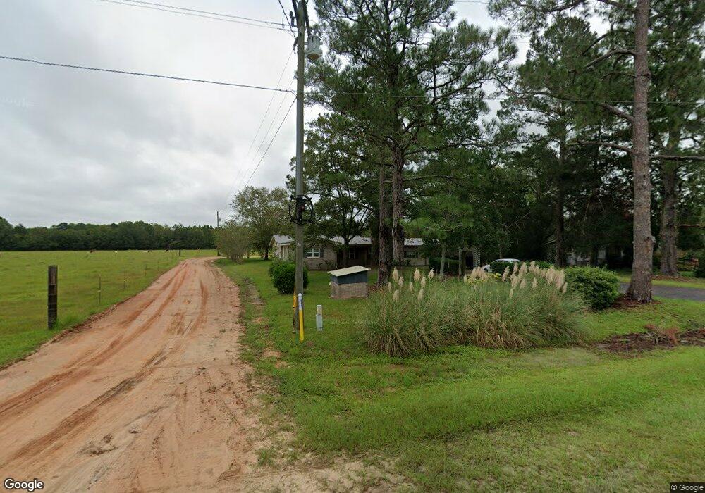
This home is located at 710 Radio Station Rd, Alma, GA 31510 and is currently estimated at $147,473, approximately $80 per square foot. 710 Radio Station Rd is a home located in Bacon County with nearby schools including Bacon County Primary School, Bacon County Elementary School, and Bacon County Middle School.
Ownership History
Date
Name
Owned For
Owner Type
Purchase Details
Closed on
May 16, 2006
Sold by
Collins Floyd
Bought by
Hilton Johnny and Hilton Jean
Current Estimated Value
Purchase Details
Closed on
Feb 5, 2002
Sold by
Monroe William
Bought by
Collins Floyd
Purchase Details
Closed on
Mar 22, 2000
Sold by
Collins Floyd
Bought by
Monroe William
Purchase Details
Closed on
May 9, 1995
Bought by
Collins Floyd
Create a Home Valuation Report for This Property
The Home Valuation Report is an in-depth analysis detailing your home's value as well as a comparison with similar homes in the area
Home Values in the Area
Average Home Value in this Area
Purchase History
| Date | Buyer | Sale Price | Title Company |
|---|---|---|---|
| Hilton Johnny | $27,773 | -- | |
| Collins Floyd | -- | -- | |
| Collins Floyd | $8,400 | -- | |
| Monroe William | $42,000 | -- | |
| Collins Floyd | $32,000 | -- |
Source: Public Records
Tax History Compared to Growth
Tax History
| Year | Tax Paid | Tax Assessment Tax Assessment Total Assessment is a certain percentage of the fair market value that is determined by local assessors to be the total taxable value of land and additions on the property. | Land | Improvement |
|---|---|---|---|---|
| 2024 | $1,062 | $42,704 | $600 | $42,104 |
| 2023 | $995 | $38,504 | $600 | $37,904 |
| 2022 | $805 | $26,464 | $600 | $25,864 |
| 2021 | $600 | $24,024 | $600 | $23,424 |
| 2020 | $764 | $21,889 | $624 | $21,265 |
| 2019 | $672 | $21,889 | $624 | $21,265 |
| 2018 | $731 | $21,121 | $624 | $20,497 |
| 2017 | $607 | $21,121 | $624 | $20,497 |
| 2016 | $549 | $21,121 | $624 | $20,497 |
| 2015 | $535 | $20,644 | $624 | $20,020 |
| 2014 | $546 | $20,644 | $624 | $20,020 |
| 2013 | $546 | $15,654 | $624 | $15,030 |
Source: Public Records
Map
Nearby Homes
- 301 Taylor Rd
- 1348 U S 1
- 403 S Ware St
- 122 Grace Loop Unit 1
- 118 Grace Loop Unit 1
- 117 Grace Loop Unit 1
- 9TH E 417
- 314 W 16th St
- 0 E 6th St Unit 114222
- 0 Jasmine Ln
- 113 Brite Blue Dr
- 245 Starling Rd
- 907 N Pierce St
- 166 Grace Loop Unit 1
- 0 Oriole Rd Unit 160930
- 0 Oriole Rd Unit 23852171
- 0 Oriole Rd Unit 1654653
- 0 Oriole Rd Unit 10543585
- 401 Lee St
- 118 Morris Dr
- 716 Radio Station Rd
- 611 Radio Station Rd
- 715 Radio Station Rd
- 703 Radio Station Rd
- 692 Radio Station Rd
- 722 722 Radio Station Rd
- 721 Radio Station Rd
- 728 Radio Station Rd
- 695 Radio Station Rd
- 687 Radio Station Rd
- 682 Radio Station Rd
- 679 Radio Station Rd
- 739 Radio Station Rd
- 667 Radio Station Rd
- 108 Winners Cir
- 653 Radio Station Rd
- 637 Radio Station Rd
- 636 Radio Station Rd
- 629 Radio Station Rd
- 120 Victory Ln