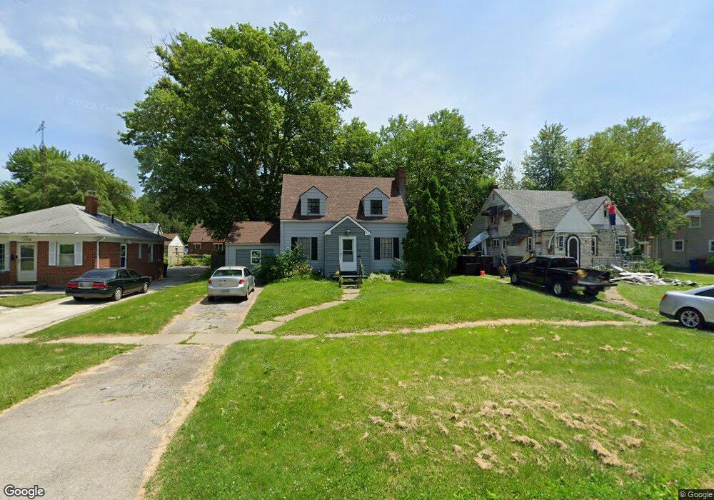
710 Secor Rd Toledo, OH 43607
Scott Park NeighborhoodEstimated Value: $98,096 - $125,000
2
Beds
1
Bath
968
Sq Ft
$118/Sq Ft
Est. Value
About This Home
This home is located at 710 Secor Rd, Toledo, OH 43607 and is currently estimated at $114,524, approximately $118 per square foot. 710 Secor Rd is a home located in Lucas County with nearby schools including Keyser Elementary School, Rogers High School, and Victory Academy of Toledo.
Ownership History
Date
Name
Owned For
Owner Type
Purchase Details
Closed on
Dec 30, 2005
Sold by
Brown Derek L
Bought by
Brown Ida
Current Estimated Value
Home Financials for this Owner
Home Financials are based on the most recent Mortgage that was taken out on this home.
Original Mortgage
$78,300
Outstanding Balance
$48,320
Interest Rate
8.4%
Mortgage Type
Fannie Mae Freddie Mac
Estimated Equity
$66,204
Purchase Details
Closed on
Jan 16, 1998
Sold by
Heffner Ida D
Bought by
Brown Derek L
Home Financials for this Owner
Home Financials are based on the most recent Mortgage that was taken out on this home.
Original Mortgage
$30,700
Interest Rate
7.24%
Create a Home Valuation Report for This Property
The Home Valuation Report is an in-depth analysis detailing your home's value as well as a comparison with similar homes in the area
Home Values in the Area
Average Home Value in this Area
Purchase History
| Date | Buyer | Sale Price | Title Company |
|---|---|---|---|
| Brown Ida | -- | Liberty Title Agency Inc | |
| Brown Derek L | $32,400 | Northwest Title Agency Of Oh |
Source: Public Records
Mortgage History
| Date | Status | Borrower | Loan Amount |
|---|---|---|---|
| Open | Brown Ida | $78,300 | |
| Previous Owner | Brown Derek L | $30,700 |
Source: Public Records
Tax History
| Year | Tax Paid | Tax Assessment Tax Assessment Total Assessment is a certain percentage of the fair market value that is determined by local assessors to be the total taxable value of land and additions on the property. | Land | Improvement |
|---|---|---|---|---|
| 2025 | -- | $24,220 | $5,880 | $18,340 |
| 2024 | $822 | $24,220 | $5,880 | $18,340 |
| 2023 | $1,322 | $18,025 | $3,815 | $14,210 |
| 2022 | $1,301 | $18,025 | $3,815 | $14,210 |
| 2021 | $1,343 | $18,025 | $3,815 | $14,210 |
| 2020 | $1,431 | $16,800 | $3,500 | $13,300 |
| 2019 | $1,379 | $16,800 | $3,500 | $13,300 |
| 2018 | $1,399 | $16,800 | $3,500 | $13,300 |
| 2017 | $1,386 | $16,415 | $3,430 | $12,985 |
| 2016 | $1,400 | $46,900 | $9,800 | $37,100 |
| 2015 | $1,417 | $46,900 | $9,800 | $37,100 |
| 2014 | $1,061 | $16,420 | $3,430 | $12,990 |
| 2013 | $1,061 | $16,420 | $3,430 | $12,990 |
Source: Public Records
Map
Nearby Homes
- 615 Cuthbert Rd
- 710 N Byrne Rd
- 823 N Byrne Rd
- 1125 Secor Rd
- 820 MacKow Dr
- 712 Underwood Ave
- 3825 Whitegate Dr
- 3816 Loch Lomond Ave
- 735 Southbriar Rd
- 3811 House of Stuart Ave
- 638 Broer Ave
- 834 Broer Ave
- 2925 Avondale Ave
- 630 Carver Blvd
- 914 Turner Ave
- 806 Clifton Blvd
- 540 Clifton Blvd
- 3544 Edgevale Rd
- 1021 Richards Rd
- 4039 Hill Ave
Your Personal Tour Guide
Ask me questions while you tour the home.