Estimated Value: $204,761 - $269,000
2
Beds
2
Baths
1,096
Sq Ft
$214/Sq Ft
Est. Value
About This Home
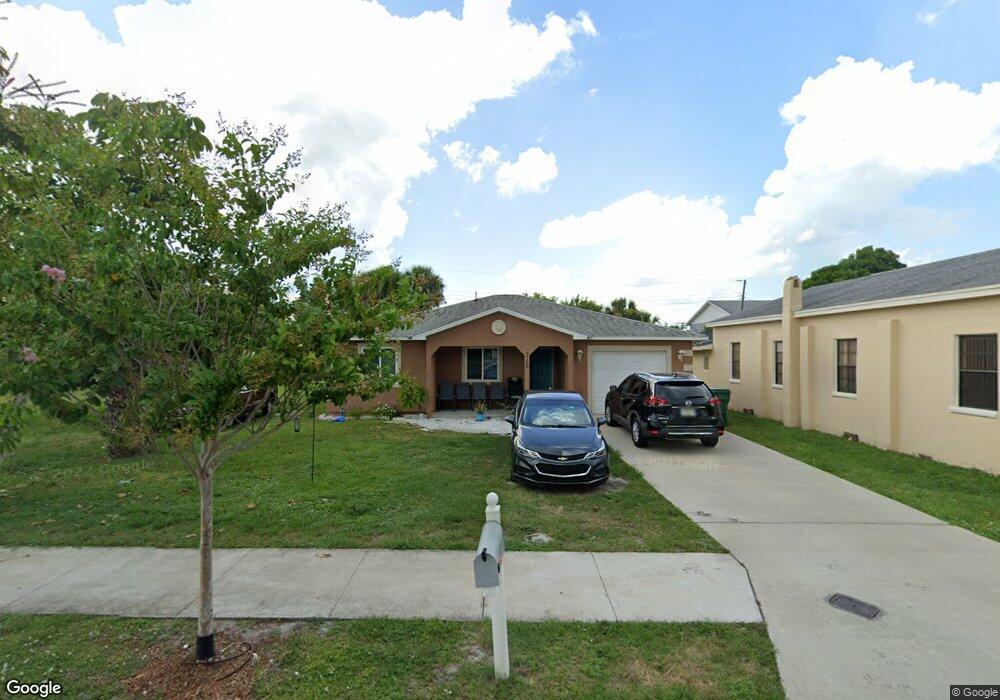
This home is located at 710 Stone St, Cocoa, FL 32922 and is currently estimated at $234,690, approximately $214 per square foot. 710 Stone St is a home located in Brevard County with nearby schools including Endeavour Elementary Magnet, Ronald McNair Magnet Middle School, and Rockledge Senior High School.
Ownership History
Date
Name
Owned For
Owner Type
Purchase Details
Closed on
Aug 23, 2013
Sold by
Habitat For Humanity Of Brevard County I
Bought by
Oquendo Temeko
Current Estimated Value
Home Financials for this Owner
Home Financials are based on the most recent Mortgage that was taken out on this home.
Original Mortgage
$64,600
Interest Rate
4.31%
Mortgage Type
Purchase Money Mortgage
Purchase Details
Closed on
Jun 20, 2012
Sold by
Gray Rutha Mae and Gray Ruth Mae
Bought by
Habitat For Humanity Of Brevard County I
Create a Home Valuation Report for This Property
The Home Valuation Report is an in-depth analysis detailing your home's value as well as a comparison with similar homes in the area
Home Values in the Area
Average Home Value in this Area
Purchase History
| Date | Buyer | Sale Price | Title Company |
|---|---|---|---|
| Oquendo Temeko | $66,000 | State Title | |
| Habitat For Humanity Of Brevard County I | $4,000 | Attorney |
Source: Public Records
Mortgage History
| Date | Status | Borrower | Loan Amount |
|---|---|---|---|
| Closed | Oquendo Temeko | $64,600 |
Source: Public Records
Tax History Compared to Growth
Tax History
| Year | Tax Paid | Tax Assessment Tax Assessment Total Assessment is a certain percentage of the fair market value that is determined by local assessors to be the total taxable value of land and additions on the property. | Land | Improvement |
|---|---|---|---|---|
| 2025 | $1,183 | $87,750 | -- | -- |
| 2024 | $1,138 | $85,280 | -- | -- |
| 2023 | $1,138 | $82,800 | $0 | $0 |
| 2022 | $1,026 | $80,390 | $0 | $0 |
| 2021 | $1,003 | $78,050 | $0 | $0 |
| 2020 | $971 | $76,980 | $0 | $0 |
| 2019 | $941 | $75,250 | $0 | $0 |
| 2018 | $867 | $73,850 | $0 | $0 |
| 2017 | $871 | $72,340 | $0 | $0 |
| 2016 | $874 | $70,860 | $4,500 | $66,360 |
| 2015 | $886 | $70,370 | $4,500 | $65,870 |
| 2014 | $838 | $69,820 | $4,500 | $65,320 |
Source: Public Records
Map
Nearby Homes
- 506 Stone St
- 824 Temple St
- 535 Bernard St
- 919 Fern Ave
- Xxxx S Fiske Blvd
- 610 Paw St
- 614 Paw St
- 535 S Kentucky Ave
- 817 Paw St
- 305 Prospect Ave
- 0 Highway Us 1 Unit 1000884
- 1237 Holmes St
- 826 Ferndale Ave
- 0000 Lemon St
- 220 Lemon St
- 406 Prospect Ave
- 406 N Fiske Blvd
- Xxxx Fiske
- 128 Aurora St
- 418 Churchill Dr
- 712 Stone St
- 705 Stone St
- 0 Valencia Ave
- 701 W King St Unit 101
- 725 King St
- 724 Stone St
- 000 Blake Ave
- 701 King St Unit 101
- 731 W King St
- 710 W King St Unit 105
- 710 W King St
- 710 W King St Unit 101
- 214 Blake Ave Unit SFR
- 214 Blake Ave
- 710 King St Unit 101
- 710 King St Unit 115
- 321 Valencia Ave
- 750 King St
- 302 Blake Ave
- 306 Blake Ave