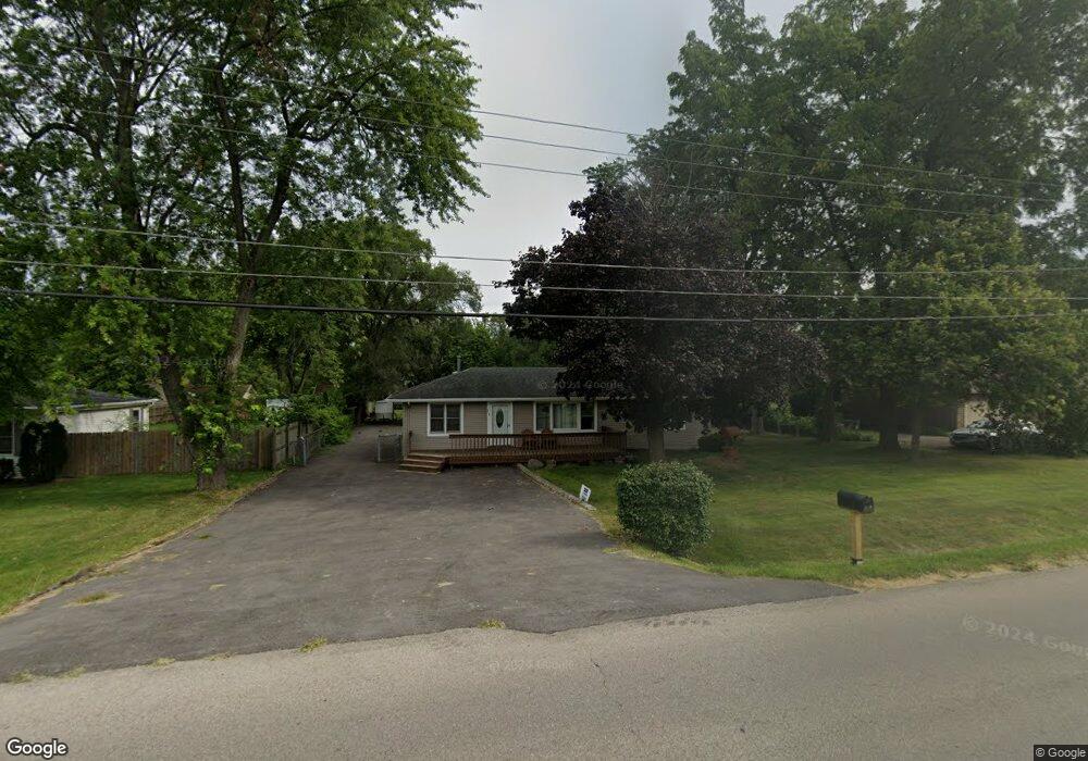
710 Thornton St Lockport, IL 60441
Estimated Value: $237,000 - $314,173
3
Beds
1
Bath
1,200
Sq Ft
$234/Sq Ft
Est. Value
About This Home
This home is located at 710 Thornton St, Lockport, IL 60441 and is currently estimated at $281,043, approximately $234 per square foot. 710 Thornton St is a home located in Will County with nearby schools including Walsh Elementary School, Ludwig Elementary School, and Reed Elementary School.
Ownership History
Date
Name
Owned For
Owner Type
Purchase Details
Closed on
Mar 8, 2019
Sold by
Bond Kirk V
Bought by
Bond Kirk V and Kirk V Bond Trust
Current Estimated Value
Purchase Details
Closed on
Sep 25, 2010
Sold by
Rehak Joe V and Rehak Julie A
Bought by
Bond Kirk
Purchase Details
Closed on
May 23, 1996
Sold by
Casson Jess L and Casson Brenda G
Bought by
Rehak Joe V and Rehak Julie A
Home Financials for this Owner
Home Financials are based on the most recent Mortgage that was taken out on this home.
Original Mortgage
$108,385
Interest Rate
7.99%
Mortgage Type
FHA
Create a Home Valuation Report for This Property
The Home Valuation Report is an in-depth analysis detailing your home's value as well as a comparison with similar homes in the area
Home Values in the Area
Average Home Value in this Area
Purchase History
| Date | Buyer | Sale Price | Title Company |
|---|---|---|---|
| Bond Kirk V | -- | Attorney | |
| Bond Kirk | $105,000 | Security First Title Company | |
| Rehak Joe V | $113,500 | -- |
Source: Public Records
Mortgage History
| Date | Status | Borrower | Loan Amount |
|---|---|---|---|
| Previous Owner | Rehak Joe V | $108,385 |
Source: Public Records
Tax History Compared to Growth
Tax History
| Year | Tax Paid | Tax Assessment Tax Assessment Total Assessment is a certain percentage of the fair market value that is determined by local assessors to be the total taxable value of land and additions on the property. | Land | Improvement |
|---|---|---|---|---|
| 2024 | $6,255 | $90,109 | $35,574 | $54,535 |
| 2023 | $6,255 | $80,895 | $31,936 | $48,959 |
| 2022 | $5,625 | $76,208 | $30,085 | $46,123 |
| 2021 | $5,269 | $71,618 | $28,273 | $43,345 |
| 2020 | $5,126 | $69,263 | $27,343 | $41,920 |
| 2019 | $4,819 | $65,653 | $25,918 | $39,735 |
| 2018 | $4,710 | $63,128 | $24,921 | $38,207 |
| 2017 | $4,477 | $59,594 | $23,526 | $36,068 |
| 2016 | $4,228 | $55,852 | $22,049 | $33,803 |
| 2015 | $3,912 | $53,142 | $20,979 | $32,163 |
| 2014 | $3,912 | $50,611 | $19,980 | $30,631 |
| 2013 | $3,912 | $53,275 | $21,032 | $32,243 |
Source: Public Records
Map
Nearby Homes
- 613 Katherine St
- 207 Muehl Dr
- 134 S Jefferson St
- 1340 Lacoma Ct
- 1108 E 9th St
- 613 E 3rd St Unit 4
- 540 E 4th St
- 247 E North St
- 219 S Washington St
- 118 N State St
- 101 Market St
- 120 N State St
- 1102 E Treeline Dr
- 317 Bonnie Dr
- 609 Oak St
- 560 E 7th St
- 805 Maryknoll Dr
- 807 Valley Ln
- 800 Madison St Unit 2C
- 1220 E Wellwood Dr
- 712 Thornton St
- 110 W Circle Dr
- 703 Thornton St
- 701 Thornton St Unit 1
- 705 Thornton St
- 634 Thornton St
- 711 Thornton St
- 111 W Circle Dr
- 130 W Circle Dr
- 530 Thornton St
- 702 E 1st St
- 704 E 1st St
- 700 E 1st St
- 708 E 1st St
- 629 Thornton St
- 131 E Circle Dr
- 101 Le Jeune Ave
- 710 E 1st St
- 610 E 1st St Unit 1
- 504 Thornton St Unit 1