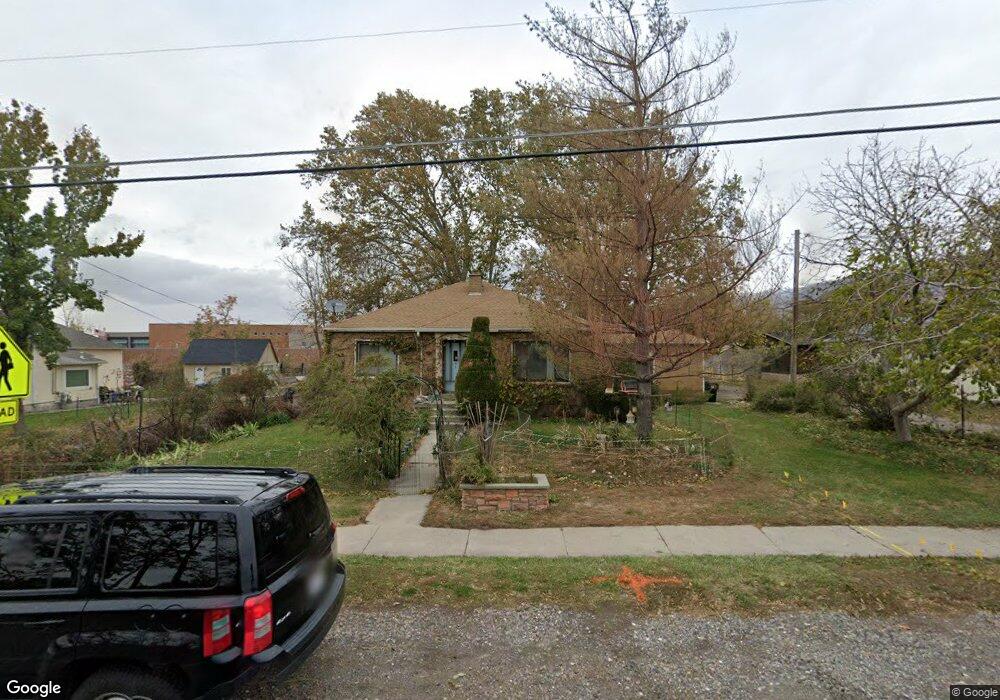
710 W 400 N West Bountiful, UT 84087
Estimated Value: $499,000 - $610,000
5
Beds
1
Bath
1,546
Sq Ft
$351/Sq Ft
Est. Value
About This Home
This home is located at 710 W 400 N, West Bountiful, UT 84087 and is currently estimated at $542,584, approximately $350 per square foot. 710 W 400 N is a home located in Davis County with nearby schools including West Bountiful Elementary School, Bountiful Junior High School, and Viewmont High School.
Ownership History
Date
Name
Owned For
Owner Type
Purchase Details
Closed on
Jan 26, 2021
Sold by
Powell Michael L
Bought by
Powell Michael L and Eatough Sherri
Current Estimated Value
Purchase Details
Closed on
Sep 7, 2005
Sold by
Powell Cindy L
Bought by
Powell Michael L
Purchase Details
Closed on
Dec 18, 2002
Sold by
Powell Michael L
Bought by
Powell Michael L and Powell Cindy L
Create a Home Valuation Report for This Property
The Home Valuation Report is an in-depth analysis detailing your home's value as well as a comparison with similar homes in the area
Home Values in the Area
Average Home Value in this Area
Purchase History
| Date | Buyer | Sale Price | Title Company |
|---|---|---|---|
| Powell Michael L | -- | Cottonwood Title | |
| Powell Michael L | -- | -- | |
| Powell Michael L | -- | Wasatch Title Insurance Agen | |
| Powell Michael L | -- | Wasatch Title Insurance Agen |
Source: Public Records
Tax History Compared to Growth
Tax History
| Year | Tax Paid | Tax Assessment Tax Assessment Total Assessment is a certain percentage of the fair market value that is determined by local assessors to be the total taxable value of land and additions on the property. | Land | Improvement |
|---|---|---|---|---|
| 2025 | $268 | $275,000 | $165,362 | $109,638 |
| 2024 | $233 | $264,550 | $136,758 | $127,792 |
| 2023 | $200 | $467,000 | $253,216 | $213,784 |
| 2022 | $188 | $269,500 | $125,846 | $143,654 |
| 2021 | $177 | $382,000 | $178,233 | $203,767 |
| 2020 | $168 | $317,000 | $158,698 | $158,302 |
| 2019 | $149 | $302,000 | $155,006 | $146,994 |
| 2018 | $138 | $269,000 | $147,649 | $121,351 |
| 2016 | $85 | $137,885 | $46,331 | $91,554 |
| 2015 | $1,782 | $123,805 | $46,331 | $77,474 |
| 2014 | $55 | $118,210 | $46,331 | $71,879 |
| 2013 | -- | $104,301 | $36,835 | $67,466 |
Source: Public Records
Map
Nearby Homes
- 767 W 220 N
- 340 N 500 W Unit 204
- 790 N 500 W
- 399 W 400 N Unit 47
- 680 W 500 S Unit 22
- 680 W 500 S Unit 17
- 825 W 1320 N
- 366 W 1000 N
- 280 N 1100 W
- 167 S 425 W
- 314 W Center St Unit D135
- 314 W Center St Unit D159
- 314 W Center St Unit E150
- 155 N Peregrine Ln W
- 499 N 200 W Unit 30
- 499 N 200 W Unit 19
- 75 N Peregrine Ln W Unit 8
- 553 N 200 W
- 131 W 25 N Unit 4
- 147 W 25 N Unit 5