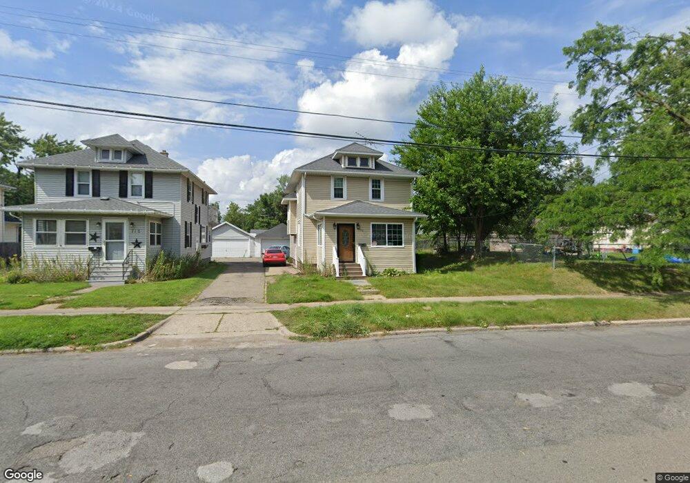
710 W North St Jackson, MI 49202
Bennett NeighborhoodEstimated Value: $148,469 - $161,000
3
Beds
2
Baths
1,416
Sq Ft
$108/Sq Ft
Est. Value
About This Home
This home is located at 710 W North St, Jackson, MI 49202 and is currently estimated at $152,617, approximately $107 per square foot. 710 W North St is a home located in Jackson County with nearby schools including Hunt Elementary School, Middle School at Parkside, and Jackson High School.
Ownership History
Date
Name
Owned For
Owner Type
Purchase Details
Closed on
Sep 21, 2016
Sold by
Boyd Kenneth B
Bought by
Lawson Diana L
Current Estimated Value
Purchase Details
Closed on
May 4, 2015
Sold by
Ross Maxine Trust
Bought by
Ross Linnie
Purchase Details
Closed on
Aug 29, 2014
Sold by
Ross Linnie
Bought by
Boyd Kenneth
Create a Home Valuation Report for This Property
The Home Valuation Report is an in-depth analysis detailing your home's value as well as a comparison with similar homes in the area
Home Values in the Area
Average Home Value in this Area
Purchase History
| Date | Buyer | Sale Price | Title Company |
|---|---|---|---|
| Lawson Diana L | -- | None Available | |
| Ross Linnie | -- | Attorney | |
| Boyd Kenneth | $25,000 | None Available |
Source: Public Records
Mortgage History
| Date | Status | Borrower | Loan Amount |
|---|---|---|---|
| Closed | Boyd Kenneth | $0 |
Source: Public Records
Tax History Compared to Growth
Tax History
| Year | Tax Paid | Tax Assessment Tax Assessment Total Assessment is a certain percentage of the fair market value that is determined by local assessors to be the total taxable value of land and additions on the property. | Land | Improvement |
|---|---|---|---|---|
| 2025 | $2,759 | $67,900 | $0 | $0 |
| 2024 | $2,252 | $64,000 | $0 | $0 |
| 2023 | $1,422 | $57,100 | $0 | $0 |
| 2022 | $1,658 | $49,600 | $0 | $0 |
| 2021 | $1,653 | $46,000 | $0 | $0 |
| 2020 | $1,637 | $44,550 | $0 | $0 |
| 2019 | $1,588 | $34,950 | $0 | $0 |
| 2018 | $1,531 | $31,000 | $0 | $0 |
| 2017 | $1,341 | $29,150 | $0 | $0 |
| 2016 | $1,677 | $32,800 | $32,800 | $0 |
| 2015 | $1,581 | $29,950 | $29,950 | $0 |
| 2014 | $1,581 | $27,500 | $0 | $0 |
| 2013 | -- | $27,500 | $27,500 | $0 |
Source: Public Records
Map
Nearby Homes
- 836 Lincoln St
- 828 Backus St
- 713 Webb St
- 612 Bush St
- 939 Backus St
- 804 Hibbard Ave
- 606 Center St
- 613 Backus St
- 1105 Clinton Rd
- 821 N Wisner St
- 623 Steward Ave
- 611 Steward Ave
- 521 Oakhill Ave
- 419 W Ganson St
- 515 W Trail St
- 951 W Monroe St St
- 503 W Trail St
- 431 Madison St
- 313 Taylor St
- 536 Lansing Ave