7100 Barber Cir West Bend, WI 53090
Estimated Value: $536,984 - $658,000
--
Bed
--
Bath
--
Sq Ft
5.36
Acres
About This Home
This home is located at 7100 Barber Cir, West Bend, WI 53090 and is currently estimated at $582,246. 7100 Barber Cir is a home located in Washington County with nearby schools including Fair Park Elementary School, Silverbrook Intermediate School, and East High School.
Ownership History
Date
Name
Owned For
Owner Type
Purchase Details
Closed on
Mar 17, 2014
Sold by
Filo Helen M
Bought by
Hanus Robert J and Bennett Kathleen M
Current Estimated Value
Home Financials for this Owner
Home Financials are based on the most recent Mortgage that was taken out on this home.
Original Mortgage
$212,000
Outstanding Balance
$160,076
Interest Rate
4.24%
Mortgage Type
New Conventional
Estimated Equity
$422,170
Create a Home Valuation Report for This Property
The Home Valuation Report is an in-depth analysis detailing your home's value as well as a comparison with similar homes in the area
Home Values in the Area
Average Home Value in this Area
Purchase History
| Date | Buyer | Sale Price | Title Company |
|---|---|---|---|
| Hanus Robert J | $270,000 | None Available |
Source: Public Records
Mortgage History
| Date | Status | Borrower | Loan Amount |
|---|---|---|---|
| Open | Hanus Robert J | $212,000 |
Source: Public Records
Tax History Compared to Growth
Tax History
| Year | Tax Paid | Tax Assessment Tax Assessment Total Assessment is a certain percentage of the fair market value that is determined by local assessors to be the total taxable value of land and additions on the property. | Land | Improvement |
|---|---|---|---|---|
| 2024 | $4,011 | $454,200 | $125,900 | $328,300 |
| 2023 | $3,292 | $338,200 | $105,400 | $232,800 |
| 2022 | $3,596 | $338,200 | $105,400 | $232,800 |
| 2021 | $3,666 | $338,200 | $105,400 | $232,800 |
| 2020 | $3,740 | $282,000 | $93,100 | $188,900 |
| 2019 | $3,479 | $282,000 | $93,100 | $188,900 |
| 2018 | $3,472 | $282,000 | $93,100 | $188,900 |
| 2017 | $3,466 | $282,000 | $93,100 | $188,900 |
| 2016 | $3,504 | $271,500 | $93,100 | $178,400 |
| 2015 | $3,566 | $271,500 | $93,100 | $178,400 |
| 2014 | $3,566 | $271,500 | $93,100 | $178,400 |
| 2013 | $3,539 | $282,400 | $105,400 | $177,000 |
Source: Public Records
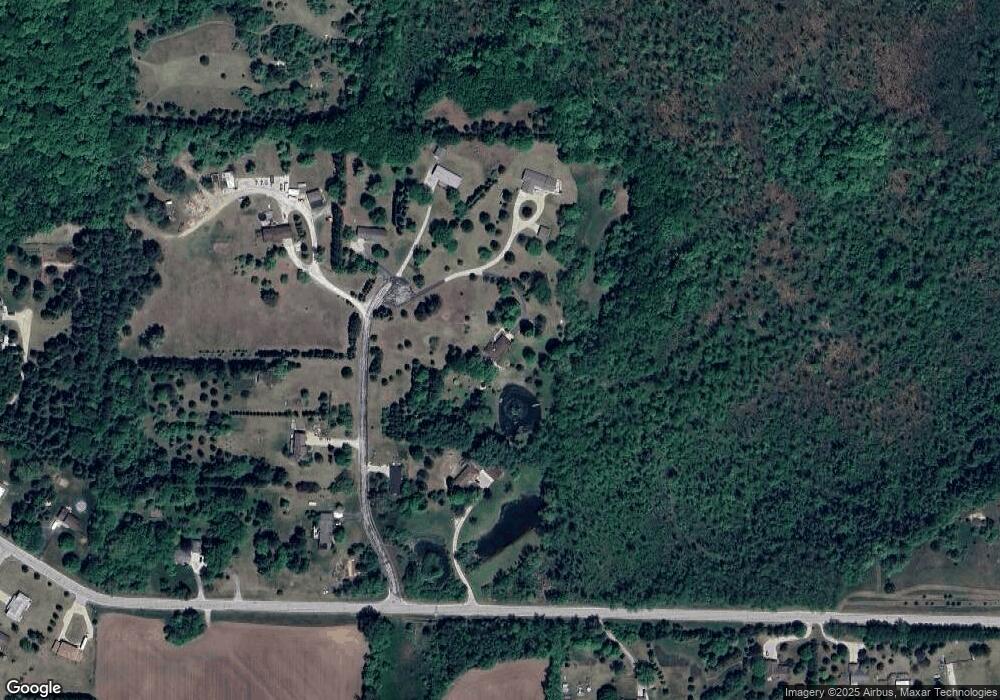
Map
Nearby Homes
- 2016 Davids View
- 2008 Davids View
- Lt4 Wallace Lake Rd
- 1650 Vivian Ct
- 1606 Vivian Ct
- 6819 Eastwood Trail
- 2171 Wallace Lake Rd
- 7071 N Trenton Rd
- 1953 Birch Terrace
- 2161 Wallace Lake Rd
- 6905 Jamestown Ct
- 2181 Wallace Lake Rd
- 1324 W Green Lake Dr
- LT4 River Rd
- 1927 Daisy Dr
- Lt2 N River Rd
- Lt3 N River Rd
- Lt1 N River Rd
- Lt0 Lakeview Rd
- 2705 E Washington St
- 1830 Wallace Lake Rd
- 7130 Barber Cir
- 7135 Barber Cir
- 7115 Barber Cir
- 7031 Barber Cir
- 7053 Barber Cir
- 7009 Barber Cir
- 1870 Wallace Lake Rd
- 1791 Wallace Lake Rd
- 1747 Wallace Lake Rd
- 1890 Wallace Lake Rd
- 1741 Wallace Lake Rd
- 1924 Wallace Lake Rd
- 1900 Wallace Lake Rd
- 1869 Wallace Lake Rd Unit 1871
- 1780 Cherokee Dr
- 6998 Eastwood Trail
- 1772 Cherokee Dr
- 1762 Cherokee Dr
- 1714 Indian Lore Ct