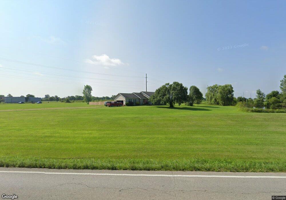
7100 Watkins Rd Delaware, OH 43015
Estimated Value: $268,000 - $593,400
3
Beds
2
Baths
1,644
Sq Ft
$280/Sq Ft
Est. Value
About This Home
This home is located at 7100 Watkins Rd, Delaware, OH 43015 and is currently estimated at $460,850, approximately $280 per square foot. 7100 Watkins Rd is a home located in Union County with nearby schools including Fairbanks Elementary School, Fairbanks Middle School, and Fairbanks High School.
Ownership History
Date
Name
Owned For
Owner Type
Purchase Details
Closed on
Sep 7, 2020
Sold by
Fleming William G
Bought by
Fleming Olive K
Current Estimated Value
Create a Home Valuation Report for This Property
The Home Valuation Report is an in-depth analysis detailing your home's value as well as a comparison with similar homes in the area
Home Values in the Area
Average Home Value in this Area
Purchase History
| Date | Buyer | Sale Price | Title Company |
|---|---|---|---|
| Fleming Olive K | -- | Old Republic National Title |
Source: Public Records
Tax History Compared to Growth
Tax History
| Year | Tax Paid | Tax Assessment Tax Assessment Total Assessment is a certain percentage of the fair market value that is determined by local assessors to be the total taxable value of land and additions on the property. | Land | Improvement |
|---|---|---|---|---|
| 2024 | $6,144 | $146,750 | $36,420 | $110,330 |
| 2023 | $6,144 | $146,750 | $36,420 | $110,330 |
| 2022 | $5,811 | $146,750 | $36,420 | $110,330 |
| 2021 | $4,872 | $111,950 | $28,020 | $83,930 |
| 2020 | $4,952 | $111,950 | $28,020 | $83,930 |
| 2019 | $4,849 | $111,950 | $28,020 | $83,930 |
| 2018 | $3,985 | $87,910 | $23,660 | $64,250 |
| 2017 | $3,964 | $87,910 | $23,660 | $64,250 |
| 2016 | $3,824 | $87,910 | $23,660 | $64,250 |
| 2015 | $3,747 | $79,860 | $20,350 | $59,510 |
| 2014 | $3,747 | $79,860 | $20,350 | $59,510 |
| 2013 | $3,674 | $79,860 | $20,350 | $59,510 |
Source: Public Records
Map
Nearby Homes
- 0 Us-42 Tract 4
- 7625 Harriott Rd
- 0 Us-42 Tract 3
- 12475 Curtis Loop
- 7296 Coralberry Way
- 7004 Aster Way
- 7004 Aster Way
- 7245 Coralberry Way
- 7335 Coralberry Way
- 12308 Curtis Loop
- 7034 Aster Way
- 7141 Aster Way
- 6185 Dublin Rd
- 7425 Yarrow Run Rd
- 8187 Grassland Dr
- 8238 Grassland Dr
- Palazzo Plan at The Courtyards of Hyland Meadows at Jerome Village
- Capri Plan at The Courtyards of Hyland Meadows at Jerome Village
- Provenance Plan at The Courtyards of Hyland Meadows at Jerome Village
- Portico Plan at The Courtyards of Hyland Meadows at Jerome Village
- 7231 Watkins Rd
- 7182 Watkins Rd
- 13810 U S 42
- 7464 Watkins Rd
- 7464 Watkins Rd
- 7464 Watkins Rd Unit /0
- 7345 Watkins Rd
- 7055 Watkins Rd
- 6939 Watkins Rd
- 7083 Watkins Rd
- 7021 Watkins Rd
- 6995 Watkins Rd
- 6949 Watkins Rd
- 7069 Watkins Rd
- 13900 Us Highway 42
- 13900 Us Highway 42 Unit 42
- 13900 Us Highway 42
- 13810 Us Highway 42
- 7407 Watkins Rd
- 14000 N Rt 42