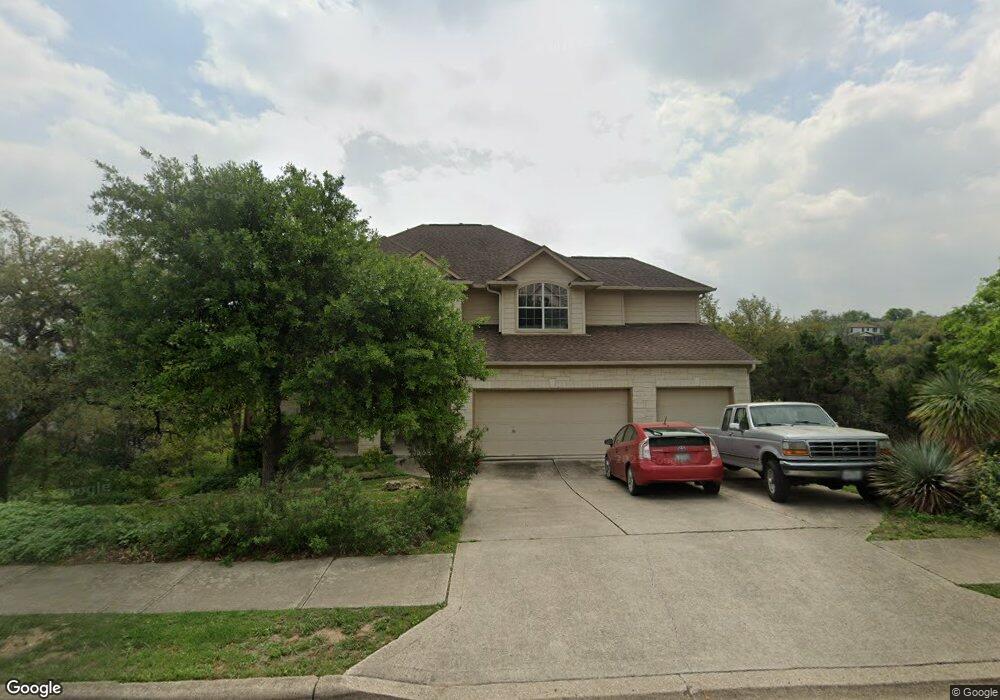
7101 Covered Bridge Dr Austin, TX 78736
West Oak Hill NeighborhoodEstimated Value: $775,000 - $856,000
--
Bed
3
Baths
2,949
Sq Ft
$278/Sq Ft
Est. Value
About This Home
This home is located at 7101 Covered Bridge Dr, Austin, TX 78736 and is currently estimated at $818,530, approximately $277 per square foot. 7101 Covered Bridge Dr is a home located in Travis County with nearby schools including Oak Hill Elementary School, Small Middle School, and James Bowie High School.
Ownership History
Date
Name
Owned For
Owner Type
Purchase Details
Closed on
Feb 11, 2005
Sold by
Wilshire Hearthstone Venture I Lp
Bought by
Strubhar Joseph Lee and Strubhar Dan Thanh
Current Estimated Value
Home Financials for this Owner
Home Financials are based on the most recent Mortgage that was taken out on this home.
Original Mortgage
$260,800
Interest Rate
5.31%
Mortgage Type
Purchase Money Mortgage
Create a Home Valuation Report for This Property
The Home Valuation Report is an in-depth analysis detailing your home's value as well as a comparison with similar homes in the area
Home Values in the Area
Average Home Value in this Area
Purchase History
| Date | Buyer | Sale Price | Title Company |
|---|---|---|---|
| Strubhar Joseph Lee | -- | Towne & Country Title Inc |
Source: Public Records
Mortgage History
| Date | Status | Borrower | Loan Amount |
|---|---|---|---|
| Closed | Strubhar Joseph Lee | $260,800 |
Source: Public Records
Tax History Compared to Growth
Tax History
| Year | Tax Paid | Tax Assessment Tax Assessment Total Assessment is a certain percentage of the fair market value that is determined by local assessors to be the total taxable value of land and additions on the property. | Land | Improvement |
|---|---|---|---|---|
| 2025 | $11,078 | $737,184 | -- | -- |
| 2023 | $9,120 | $609,243 | $0 | $0 |
| 2022 | $10,938 | $553,857 | $0 | $0 |
| 2021 | $10,960 | $503,506 | $100,000 | $403,506 |
| 2020 | $10,542 | $491,478 | $100,000 | $391,478 |
| 2018 | $9,774 | $441,464 | $100,000 | $341,464 |
| 2017 | $9,649 | $432,666 | $72,000 | $360,666 |
| 2016 | $9,339 | $418,782 | $72,000 | $346,782 |
| 2015 | $8,081 | $398,453 | $72,000 | $326,453 |
| 2014 | $8,081 | $365,368 | $72,000 | $293,368 |
Source: Public Records
Map
Nearby Homes
- 7204 Covered Bridge Dr
- 8818 Moccasin Path
- 7324 Covered Bridge Dr
- 8536 Red Willow Dr
- 8737 W Highway 71
- 7601 Crackling Creek Dr
- 7505 Roaring Springs Dr
- 6701 Covered Bridge Dr
- 6701 Covered Bridge Dr Unit 51
- 6701 Covered Bridge Dr Unit 40
- 8551 Red Willow Dr
- 6718 Silvermine Dr Unit 804
- 6803 Silvermine Dr
- 8318 Gallatin Dr
- 8005 Red Willow Dr
- 7301 Scenic Brook Dr
- 8622 Thunderbird Rd
- 8210 Landsman Dr
- 7008 Chinook Dr
- 7010 Harvest Trail Dr
- 7116 Windthorst Cove
- 7112 Windthorst Cove
- 7108 Covered Bridge Dr
- 7104 Covered Bridge Dr
- 7125 Covered Bridge Dr
- 7112 Covered Bridge Dr
- 7100 Covered Bridge Dr
- 7116 Covered Bridge Dr
- 7113 Windthorst Cove
- 7108 Windthorst Cove
- 7024 Covered Bridge Dr
- 7009 Covered Bridge Dr
- 7020 Covered Bridge Dr
- 7124 Covered Bridge Dr
- 7104 Windthorst Cove
- 7109 Windthorst Cove
- 7016 Covered Bridge Dr
- 7200 Covered Bridge Dr
- 0 Windthorst Cove
- 7012 Covered Bridge Dr