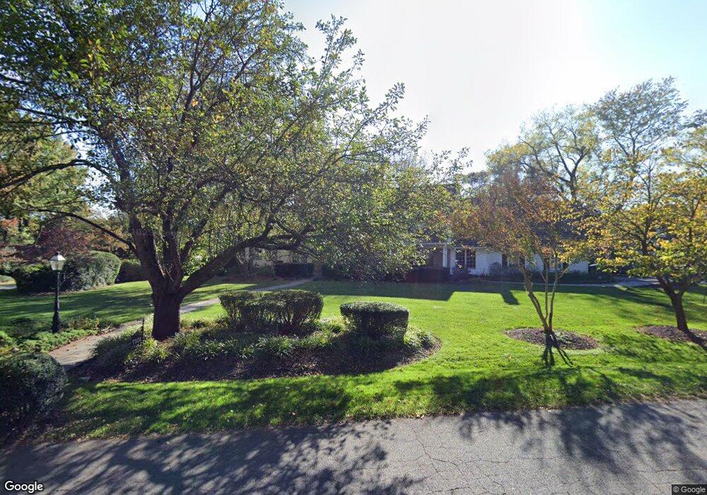
7101 Holyrood Dr McLean, VA 22101
Estimated Value: $2,189,000 - $2,782,000
5
Beds
4
Baths
3,634
Sq Ft
$700/Sq Ft
Est. Value
About This Home
This home is located at 7101 Holyrood Dr, McLean, VA 22101 and is currently estimated at $2,543,066, approximately $699 per square foot. 7101 Holyrood Dr is a home located in Fairfax County with nearby schools including Churchill Road Elementary School, Cooper Middle School, and Langley High School.
Ownership History
Date
Name
Owned For
Owner Type
Purchase Details
Closed on
Mar 8, 2019
Sold by
Lockshin Norman and Lockshin Sheila
Bought by
Lockshin Benjamin N and Geary Courtenay L
Current Estimated Value
Home Financials for this Owner
Home Financials are based on the most recent Mortgage that was taken out on this home.
Original Mortgage
$1,162,156
Outstanding Balance
$993,258
Interest Rate
4.4%
Mortgage Type
New Conventional
Estimated Equity
$1,549,808
Purchase Details
Closed on
Jun 27, 2017
Sold by
Adcock Thomas G and Adcock Betty W
Bought by
Lockshin Norman and Lockshin Sheila
Purchase Details
Closed on
Mar 10, 2000
Sold by
Snell W Bartlett
Bought by
Pane Gregg A
Home Financials for this Owner
Home Financials are based on the most recent Mortgage that was taken out on this home.
Original Mortgage
$355,000
Interest Rate
8.18%
Mortgage Type
Purchase Money Mortgage
Create a Home Valuation Report for This Property
The Home Valuation Report is an in-depth analysis detailing your home's value as well as a comparison with similar homes in the area
Home Values in the Area
Average Home Value in this Area
Purchase History
| Date | Buyer | Sale Price | Title Company |
|---|---|---|---|
| Lockshin Benjamin N | $1,462,158 | Db Title Llc | |
| Lockshin Norman | $1,500,000 | First American Title | |
| Pane Gregg A | $1,015,000 | -- |
Source: Public Records
Mortgage History
| Date | Status | Borrower | Loan Amount |
|---|---|---|---|
| Open | Lockshin Benjamin N | $1,162,156 | |
| Previous Owner | Pane Gregg A | $355,000 |
Source: Public Records
Tax History
| Year | Tax Paid | Tax Assessment Tax Assessment Total Assessment is a certain percentage of the fair market value that is determined by local assessors to be the total taxable value of land and additions on the property. | Land | Improvement |
|---|---|---|---|---|
| 2025 | $24,026 | $2,186,370 | $1,153,000 | $1,033,370 |
| 2024 | $24,026 | $2,033,490 | $1,021,000 | $1,012,490 |
| 2023 | $22,032 | $1,913,330 | $912,000 | $1,001,330 |
| 2022 | $21,659 | $1,856,710 | $912,000 | $944,710 |
| 2021 | $21,440 | $1,791,900 | $882,000 | $909,900 |
| 2020 | $20,593 | $1,706,820 | $802,000 | $904,820 |
| 2019 | $19,745 | $1,636,590 | $802,000 | $834,590 |
| 2018 | $16,424 | $1,428,140 | $771,000 | $657,140 |
| 2017 | $16,897 | $1,427,090 | $771,000 | $656,090 |
| 2016 | $17,969 | $1,520,820 | $771,000 | $749,820 |
Source: Public Records
Map
Nearby Homes
- 7009 Benjamin St
- 942 Dead Run Dr
- 7008 Arbor Ln
- 7022 Hector Rd
- 725 Lawton St
- 6804 Benjamin St
- 1105 Carper St
- 6910 Bright Ave
- 1052 Balls Hill Rd
- 1104 Sharon Ct
- 1101 Dead Run Dr
- 7400 Churchill Rd
- 6707 Lupine Ln
- 1112 Balls Hill Rd
- 6710 Wemberly Way
- 658 Live Oak Dr
- 913 Whann Ave
- 7024 Green Oak Dr
- 7011 Elizabeth Dr
- 1109 Ingleside Ave
- 7102 Country Meadow Ct
- 902 Countryside Ct
- 7103 Holyrood Dr
- 7013 Holyrood Dr
- 7100 Country Meadow Ct
- 7014 Holyrood Dr
- 903 Countryside Ct
- 7100 Holyrood Dr
- 7104 Country Meadow Ct
- 7103 Country Meadow Ct
- 7104 Holyrood Dr
- 904 Countryside Ct
- 7107 Holyrood Dr
- 7012 Holyrood Dr
- 907 Countryside Ct
- 7112 Georgetown Pike
- 7011 Holyrood Dr
- 7106 Holyrood Dr
- 7113 Holyrood Dr
- 7105 Country Meadow Ct
Your Personal Tour Guide
Ask me questions while you tour the home.