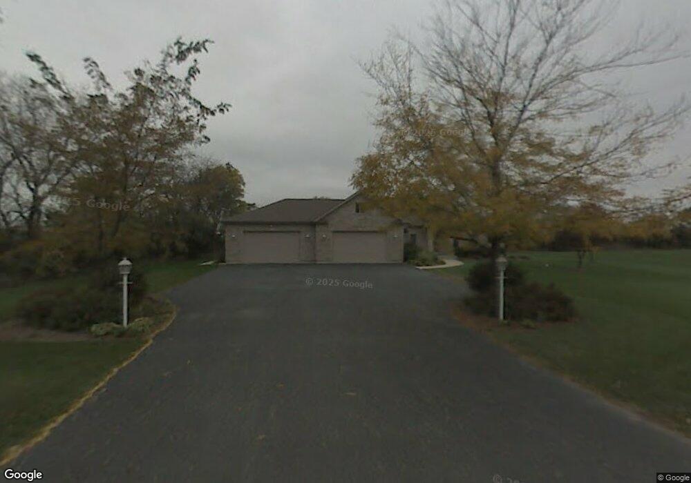
7101 Lone Oak Rd Spring Grove, IL 60081
Estimated Value: $491,292 - $720,000
3
Beds
--
Bath
2,305
Sq Ft
$268/Sq Ft
Est. Value
About This Home
This home is located at 7101 Lone Oak Rd, Spring Grove, IL 60081 and is currently estimated at $618,073, approximately $268 per square foot. 7101 Lone Oak Rd is a home located in McHenry County with nearby schools including Spring Grove Elementary School, Nippersink Middle School, and Richmond-Burton High School.
Ownership History
Date
Name
Owned For
Owner Type
Purchase Details
Closed on
Jun 9, 1998
Sold by
First Midwest Trust Company Natl Assn
Bought by
Commare Kevin M and Commare Joan M
Current Estimated Value
Create a Home Valuation Report for This Property
The Home Valuation Report is an in-depth analysis detailing your home's value as well as a comparison with similar homes in the area
Home Values in the Area
Average Home Value in this Area
Purchase History
| Date | Buyer | Sale Price | Title Company |
|---|---|---|---|
| Commare Kevin M | $42,000 | Chicago Title |
Source: Public Records
Tax History
| Year | Tax Paid | Tax Assessment Tax Assessment Total Assessment is a certain percentage of the fair market value that is determined by local assessors to be the total taxable value of land and additions on the property. | Land | Improvement |
|---|---|---|---|---|
| 2024 | $10,458 | $152,735 | $30,214 | $122,521 |
| 2023 | $10,110 | $139,624 | $27,620 | $112,004 |
| 2022 | $9,936 | $125,719 | $24,869 | $100,850 |
| 2021 | $9,606 | $120,663 | $23,869 | $96,794 |
| 2020 | $9,439 | $116,100 | $22,966 | $93,134 |
| 2019 | $9,318 | $112,369 | $22,228 | $90,141 |
| 2018 | $8,983 | $103,611 | $21,310 | $82,301 |
| 2017 | $8,960 | $98,667 | $20,293 | $78,374 |
| 2016 | $9,329 | $92,506 | $19,026 | $73,480 |
| 2013 | -- | $83,532 | $17,989 | $65,543 |
Source: Public Records
Map
Nearby Homes
- 2909 Briar Dr
- 2912 Briar Dr
- 2617 Spring Leaf Dr
- 7213 Briar Dr
- 7404 Briar Ct
- 2910 Rolling Oaks Rd
- 3276 Cornflower Way
- 3006 Rolling Oaks Rd
- 7416 Briar Ct
- 3012 Rolling Oaks Rd
- 3013 N US Highway 12
- 2150 U S 12
- 3313 Ridge Rd
- 3428 Kings Lair Dr
- 7373 English Oak Ln
- 7377 English Oak Ln
- 2003 Red Oak Ln
- 7381 English Oak Ln
- 3515 Kings Lair Dr
- 1992 Red Oak Ln
- 7104 Lone Oak Rd
- 2903 Briar Dr
- 7117 Lone Oak Rd
- 7112 Briar Dr
- 7116 Lone Oak Rd
- 2709 Rondi Ct
- 7203 Lone Oak Rd
- 7202 Briar Dr
- 7202 Lone Oak Rd
- 7208 Briar Dr
- 7211 Lone Oak Rd
- 2706 Rondi Ct
- 2915 Briar Dr
- 7214 Briar Dr
- 7210 Lone Oak Rd
- 7219 Lone Oak Rd
- 2921 Briar Dr
- 7220 Briar Dr
- 7218 Lone Oak Rd
- 2702 Spring Leaf Dr
Your Personal Tour Guide
Ask me questions while you tour the home.