Estimated Value: $615,000 - $788,000
3
Beds
2
Baths
972
Sq Ft
$716/Sq Ft
Est. Value
About This Home
This home is located at 71015 Wayne St, Union, MI 49130 and is currently estimated at $695,668, approximately $715 per square foot. 71015 Wayne St is a home located in Cass County with nearby schools including White Pigeon Junior/Senior High School, Central Elementary School, and Kessington Christian School.
Ownership History
Date
Name
Owned For
Owner Type
Purchase Details
Closed on
Apr 27, 2013
Sold by
Jones Robert H and Jones Teresa R
Bought by
Jones Robert H and Jones Teresa R
Current Estimated Value
Home Financials for this Owner
Home Financials are based on the most recent Mortgage that was taken out on this home.
Original Mortgage
$288,000
Outstanding Balance
$204,811
Interest Rate
3.56%
Estimated Equity
$490,857
Purchase Details
Closed on
Mar 19, 2007
Sold by
Jones Suzanne E
Bought by
Jones Robert H
Home Financials for this Owner
Home Financials are based on the most recent Mortgage that was taken out on this home.
Original Mortgage
$319,200
Interest Rate
6.31%
Create a Home Valuation Report for This Property
The Home Valuation Report is an in-depth analysis detailing your home's value as well as a comparison with similar homes in the area
Purchase History
| Date | Buyer | Sale Price | Title Company |
|---|---|---|---|
| Jones Robert H | -- | Nations Title Agency Inc | |
| Jones Robert H | $399,000 | Cass County Title Office Inc |
Source: Public Records
Mortgage History
| Date | Status | Borrower | Loan Amount |
|---|---|---|---|
| Open | Jones Robert H | $288,000 | |
| Previous Owner | Jones Robert H | $319,200 |
Source: Public Records
Tax History
| Year | Tax Paid | Tax Assessment Tax Assessment Total Assessment is a certain percentage of the fair market value that is determined by local assessors to be the total taxable value of land and additions on the property. | Land | Improvement |
|---|---|---|---|---|
| 2025 | $3,732 | $321,900 | $321,900 | $0 |
| 2024 | $1,538 | $230,700 | $230,700 | $0 |
| 2023 | $1,467 | $169,500 | $0 | $0 |
| 2022 | $1,397 | $151,100 | $0 | $0 |
| 2021 | $3,372 | $136,800 | $0 | $0 |
| 2020 | $3,333 | $132,400 | $0 | $0 |
| 2019 | $3,232 | $127,200 | $0 | $0 |
| 2018 | $1,286 | $119,700 | $0 | $0 |
| 2017 | $1,413 | $131,500 | $0 | $0 |
| 2016 | $1,407 | $131,000 | $0 | $0 |
| 2015 | -- | $145,500 | $0 | $0 |
| 2011 | -- | $138,700 | $0 | $0 |
Source: Public Records
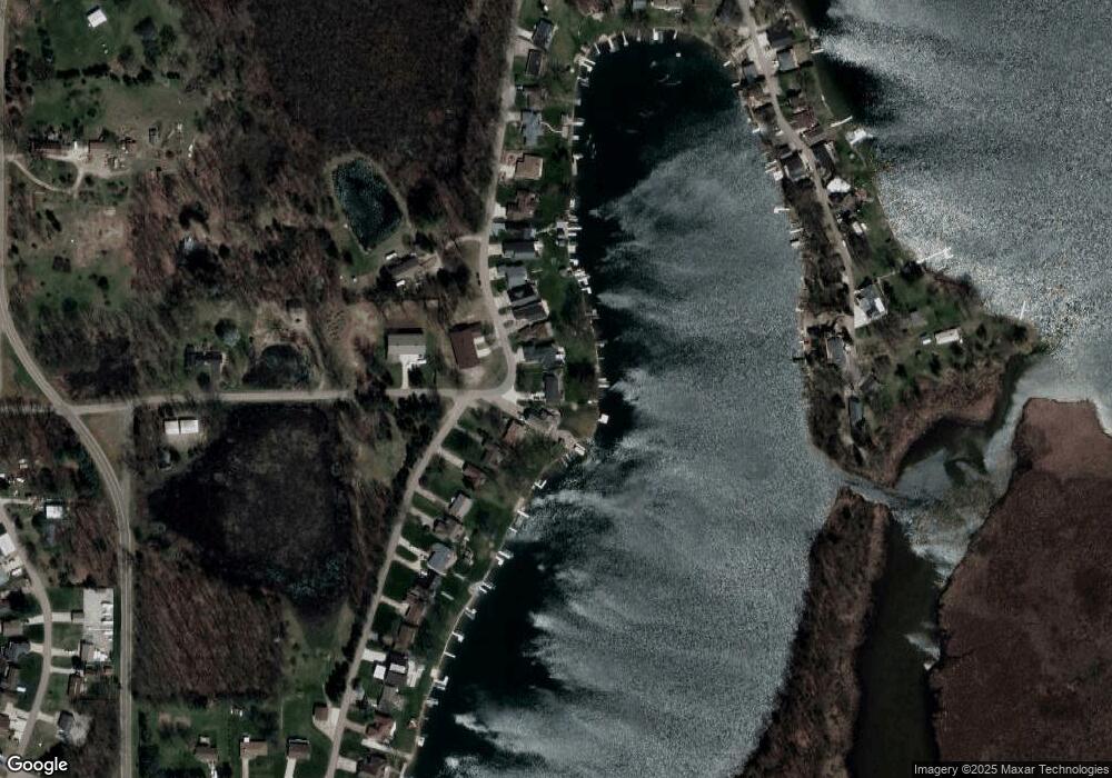
Map
Nearby Homes
- 70855 Wayne St
- 70877 Sunset Blvd
- 70749 Sunset Blvd
- 70619 Sunset Blvd
- 70855 Hollywood Shores Dr
- 70104 Treasure Island Rd
- 50774 Teall Rd
- 50764 Stella Ct
- 69951 Sunset Blvd
- 69909 Sunset Blvd
- 69907 Sunset Blvd
- 13233 Pleasant Dr
- 69639 Shady Ln
- 0 Parcel B Sunset Blvd
- 69692 Oak St
- 69465 High St
- 51293 Antone Rd
- 0 County Road 25
- 52176 County Road 21
- 13868 U S 12
Your Personal Tour Guide
Ask me questions while you tour the home.