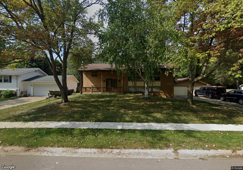
7102 Green Forest Dr Portage, MI 49024
Estimated Value: $273,000 - $305,871
4
Beds
2
Baths
2,288
Sq Ft
$124/Sq Ft
Est. Value
About This Home
This home is located at 7102 Green Forest Dr, Portage, MI 49024 and is currently estimated at $284,218, approximately $124 per square foot. 7102 Green Forest Dr is a home located in Kalamazoo County with nearby schools including Woodland Elementary School, Portage West Middle School, and Portage Northern High School.
Ownership History
Date
Name
Owned For
Owner Type
Purchase Details
Closed on
Jul 6, 2020
Sold by
Brubaker Amy S Monce and Monce Amy S
Bought by
Monce Kyle
Current Estimated Value
Home Financials for this Owner
Home Financials are based on the most recent Mortgage that was taken out on this home.
Original Mortgage
$148,000
Outstanding Balance
$131,237
Interest Rate
3.1%
Mortgage Type
New Conventional
Estimated Equity
$152,981
Purchase Details
Closed on
Apr 13, 2007
Sold by
Monce Larry J
Bought by
Monce Amy S
Create a Home Valuation Report for This Property
The Home Valuation Report is an in-depth analysis detailing your home's value as well as a comparison with similar homes in the area
Home Values in the Area
Average Home Value in this Area
Purchase History
| Date | Buyer | Sale Price | Title Company |
|---|---|---|---|
| Monce Kyle | $185,000 | Devon Title Company | |
| Monce Amy S | -- | None Available |
Source: Public Records
Mortgage History
| Date | Status | Borrower | Loan Amount |
|---|---|---|---|
| Open | Monce Kyle | $148,000 |
Source: Public Records
Tax History Compared to Growth
Tax History
| Year | Tax Paid | Tax Assessment Tax Assessment Total Assessment is a certain percentage of the fair market value that is determined by local assessors to be the total taxable value of land and additions on the property. | Land | Improvement |
|---|---|---|---|---|
| 2025 | $3,761 | $132,500 | $0 | $0 |
| 2024 | $3,311 | $124,400 | $0 | $0 |
| 2023 | $3,156 | $103,800 | $0 | $0 |
| 2022 | $3,410 | $99,100 | $0 | $0 |
| 2021 | $3,296 | $92,700 | $0 | $0 |
| 2020 | $3,224 | $82,100 | $0 | $0 |
| 2019 | $290 | $81,200 | $0 | $0 |
| 2018 | $0 | $81,900 | $0 | $0 |
| 2017 | $0 | $76,800 | $0 | $0 |
| 2016 | -- | $78,300 | $0 | $0 |
| 2015 | -- | $73,200 | $0 | $0 |
| 2014 | -- | $65,500 | $0 | $0 |
Source: Public Records
Map
Nearby Homes
- 1010 Romence Rd
- 6827 Marlow St
- 1710 Greenview Ave
- 7403 Rockford St
- 1531 Redstock Ave
- 1828 Woodland Dr
- 6803 Fescue St
- 7337 Starbrook St
- 6803 Bluegrass St
- 6745 Oakland Dr
- 6514 Marlow St
- 7160 Crown Pointe Cir
- 7090 S Westnedge Ave
- 1318 Ashton Woods Ct
- 2029 Brighton Ln Unit 7
- 7784 Primrose Ln
- 1998 Brighton Ln Unit 16
- 6325 Avon St
- 1922 Brighton Ln Unit 31
- 223 Schuring Rd
- 7110 Green Forest Dr
- 7036 Green Forest Dr
- 7099 Leslee St
- 7115 Leslee St
- 7085 Leslee St
- 7120 Green Forest Dr
- 7026 Green Forest Dr
- 7131 Leslee St
- 7109 Green Forest Dr
- 7043 Green Forest Dr
- 7031 Green Forest Dr
- 7119 Green Forest Dr
- 7130 Green Forest Dr
- 7071 Leslee St
- 7016 Green Forest Dr
- 7129 Green Forest Dr
- 7017 Green Forest Dr
- 7163 Leslee St
- 7100 Leslee St
- 7114 Leslee St