Estimated Value: $413,000 - $687,000
4
Beds
4
Baths
3,200
Sq Ft
$165/Sq Ft
Est. Value
About This Home
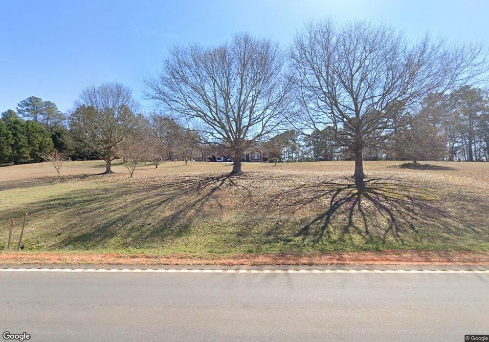
This home is located at 7102 Highway 172, Comer, GA 30629 and is currently estimated at $528,361, approximately $165 per square foot. 7102 Highway 172 is a home located in Madison County with nearby schools including Madison County High School.
Ownership History
Date
Name
Owned For
Owner Type
Purchase Details
Closed on
Mar 4, 2005
Sold by
Evans Larry
Bought by
Mckenzie Shane R and Mckenzie Amy R
Current Estimated Value
Home Financials for this Owner
Home Financials are based on the most recent Mortgage that was taken out on this home.
Original Mortgage
$240,000
Outstanding Balance
$116,727
Interest Rate
5%
Mortgage Type
New Conventional
Estimated Equity
$411,634
Purchase Details
Closed on
May 5, 2003
Sold by
Jourdan Properties
Bought by
Evans Larry
Purchase Details
Closed on
Dec 23, 2002
Sold by
Johnston Katherine C
Bought by
Jourdan Properties
Purchase Details
Closed on
Jul 10, 2001
Sold by
Dills William David
Bought by
Johnston Katherine C
Purchase Details
Closed on
Aug 5, 1998
Sold by
Gordon Donna P
Bought by
Dills William David
Purchase Details
Closed on
Jan 1, 1995
Bought by
Gordon Donna P
Create a Home Valuation Report for This Property
The Home Valuation Report is an in-depth analysis detailing your home's value as well as a comparison with similar homes in the area
Home Values in the Area
Average Home Value in this Area
Purchase History
| Date | Buyer | Sale Price | Title Company |
|---|---|---|---|
| Mckenzie Shane R | $300,000 | -- | |
| Evans Larry | $27,000 | -- | |
| Jourdan Properties | $82,500 | -- | |
| Johnston Katherine C | $26,000 | -- | |
| Dills William David | $12,000 | -- | |
| Gordon Donna P | -- | -- |
Source: Public Records
Mortgage History
| Date | Status | Borrower | Loan Amount |
|---|---|---|---|
| Open | Mckenzie Shane R | $240,000 |
Source: Public Records
Tax History Compared to Growth
Tax History
| Year | Tax Paid | Tax Assessment Tax Assessment Total Assessment is a certain percentage of the fair market value that is determined by local assessors to be the total taxable value of land and additions on the property. | Land | Improvement |
|---|---|---|---|---|
| 2024 | $3,908 | $152,143 | $10,929 | $141,214 |
| 2023 | $4,644 | $152,143 | $10,929 | $141,214 |
| 2022 | $4,397 | $176,910 | $12,708 | $164,202 |
| 2021 | $3,960 | $131,737 | $12,708 | $119,029 |
| 2020 | $3,931 | $129,889 | $10,860 | $119,029 |
| 2019 | $4,477 | $145,983 | $10,860 | $135,123 |
| 2018 | $4,373 | $142,225 | $9,936 | $132,289 |
| 2017 | $4,092 | $142,111 | $9,242 | $132,869 |
| 2016 | $3,389 | $120,078 | $9,242 | $110,836 |
| 2015 | $3,391 | $120,078 | $9,242 | $110,836 |
| 2014 | $3,193 | $112,503 | $7,562 | $104,941 |
| 2013 | -- | $112,503 | $7,562 | $104,941 |
Source: Public Records
Map
Nearby Homes
- 0 Collins Brooks Rd Unit 10642235
- 0 Collins Brooks Rd Unit CL343375
- 1348 Barwick Hill Rd
- 288 Katie Beth Rd
- 6356 Highway 191
- 6356 Georgia 191
- 0 Hwy 191 Unit CL339505
- 0 Paoli Rd Unit 23882833
- 2970 Davids Home Church Rd
- 75 Gunnell Rd
- 0 Poss Rd Unit 11540856
- 760 Fortson Compton Rd
- 0 Lowe Rd Unit 10614126
- 2649 Paoli St
- Trct 1 Paoli St
- 0 Live Oak Ln Unit lot 12
- 0 Georgia 191
- 3334 Cherokee Rd
- 3 Paoli St
- 12 Laurel Ave
- 7102 Georgia 172
- 7230 Highway 172
- 7230 Highway 172
- 7230 Highway 172
- 7240 Georgia 172
- 7360 Highway 172
- 7360 Georgia 172
- 7075 Highway 172
- 6974 Highway 172
- 7319 Highway 172
- 00 Duffell Martin Rd
- 0 Duffell Martin Rd
- 0 Duffell Martin Rd Unit CM941836
- 0 Duffell Martin Rd Unit CM322847
- 0 Duffell Martin Rd Unit 20105709
- 0 Duffell Martin Rd Unit 1004796
- 0 Duffell Martin Rd Unit 986303
- 0 Duffell Martin Rd Unit 20016643
- 0 Duffell Martin Rd Unit 10015909
- 0 Duffell Martin Rd Unit 7540548